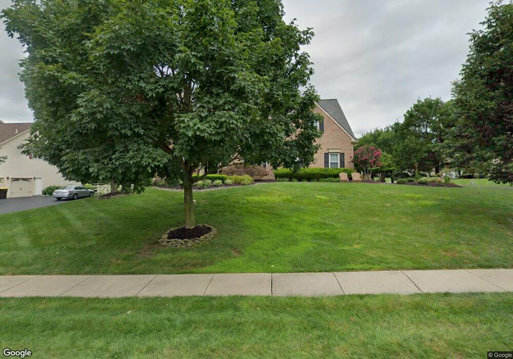
71 Bittersweet Dr Doylestown, PA 18901
Estimated Value: $1,079,953 - $1,280,000
4
Beds
4
Baths
4,262
Sq Ft
$275/Sq Ft
Est. Value
About This Home
This home is located at 71 Bittersweet Dr, Doylestown, PA 18901 and is currently estimated at $1,170,738, approximately $274 per square foot. 71 Bittersweet Dr is a home located in Bucks County with nearby schools including Kutz Elementary School, Lenape Middle School, and Central Bucks High School-West.
Ownership History
Date
Name
Owned For
Owner Type
Purchase Details
Closed on
Sep 30, 2008
Sold by
Derham John and Derham Michele
Bought by
Barklage Thomas and Barklage Alison
Current Estimated Value
Home Financials for this Owner
Home Financials are based on the most recent Mortgage that was taken out on this home.
Original Mortgage
$250,000
Outstanding Balance
$166,085
Interest Rate
6.41%
Mortgage Type
Purchase Money Mortgage
Estimated Equity
$1,004,653
Purchase Details
Closed on
Dec 31, 2001
Sold by
Derham John and Derham Michele
Bought by
Derham John and Derham Michele
Purchase Details
Closed on
Feb 17, 1998
Sold by
The Cutler Group Inc
Bought by
Derham John and Derham Michelle
Home Financials for this Owner
Home Financials are based on the most recent Mortgage that was taken out on this home.
Original Mortgage
$250,000
Interest Rate
6.12%
Create a Home Valuation Report for This Property
The Home Valuation Report is an in-depth analysis detailing your home's value as well as a comparison with similar homes in the area
Home Values in the Area
Average Home Value in this Area
Purchase History
| Date | Buyer | Sale Price | Title Company |
|---|---|---|---|
| Barklage Thomas | $750,000 | None Available | |
| Derham John | -- | Commonwealth Land Title Ins | |
| Derham John | $353,900 | -- |
Source: Public Records
Mortgage History
| Date | Status | Borrower | Loan Amount |
|---|---|---|---|
| Open | Barklage Thomas | $250,000 | |
| Previous Owner | Derham John | $250,000 |
Source: Public Records
Tax History Compared to Growth
Tax History
| Year | Tax Paid | Tax Assessment Tax Assessment Total Assessment is a certain percentage of the fair market value that is determined by local assessors to be the total taxable value of land and additions on the property. | Land | Improvement |
|---|---|---|---|---|
| 2025 | $12,090 | $68,320 | $7,480 | $60,840 |
| 2024 | $12,090 | $68,320 | $7,480 | $60,840 |
| 2023 | $11,528 | $68,320 | $7,480 | $60,840 |
| 2022 | $11,400 | $68,320 | $7,480 | $60,840 |
| 2021 | $11,165 | $68,320 | $7,480 | $60,840 |
| 2020 | $11,114 | $68,320 | $7,480 | $60,840 |
| 2019 | $10,994 | $68,320 | $7,480 | $60,840 |
| 2018 | $10,960 | $68,320 | $7,480 | $60,840 |
| 2017 | $10,875 | $68,320 | $7,480 | $60,840 |
| 2016 | $10,807 | $68,320 | $7,480 | $60,840 |
| 2015 | -- | $68,320 | $7,480 | $60,840 |
| 2014 | -- | $68,320 | $7,480 | $60,840 |
Source: Public Records
Map
Nearby Homes
- 222 Windsor Way
- 137 Wells Rd
- 1101 Deerfield Ln
- 82 Avalon Ct Unit 2005
- 20 Woodstone Dr
- 60 Quarry Rd
- 125 Edison Furlong Rd
- 9 Mill Creek Dr
- 612 Bethel Ln Unit THE ROOSEVELT PLAN
- 47 Mill Creek Dr Unit 32
- 47 Mill Creek Dr
- 114 Progress Dr
- 52 Tradesville Dr Unit 83
- Vetri Plan at Doylestown Walk
- 52 Tradesville Dr
- 2 Mill Creek Dr
- 2 Mill Creek Dr Unit 137
- 6 Mill Creek Dr
- 73 Tradesville Dr
- 73 Tradesville Dr Unit 80
- 69 Bittersweet Dr
- 264 Windsor Way
- 67 Bittersweet Dr
- 72 Bittersweet Dr
- 267 Windsor Way
- 70 Bittersweet Dr
- 4 Hudson Ct
- 68 Bittersweet Dr
- 265 Windsor Way
- 262 Windsor Way
- 66 Bittersweet Dr
- 6 Hudson Ct
- 263 Windsor Way
- 260 Windsor Way
- 61 Bittersweet Dr
- 64 Bittersweet Dr
- 1 Sunrise Dr
- 76 Bittersweet Dr
- 261 Windsor Way
- 3 Sunrise Dr