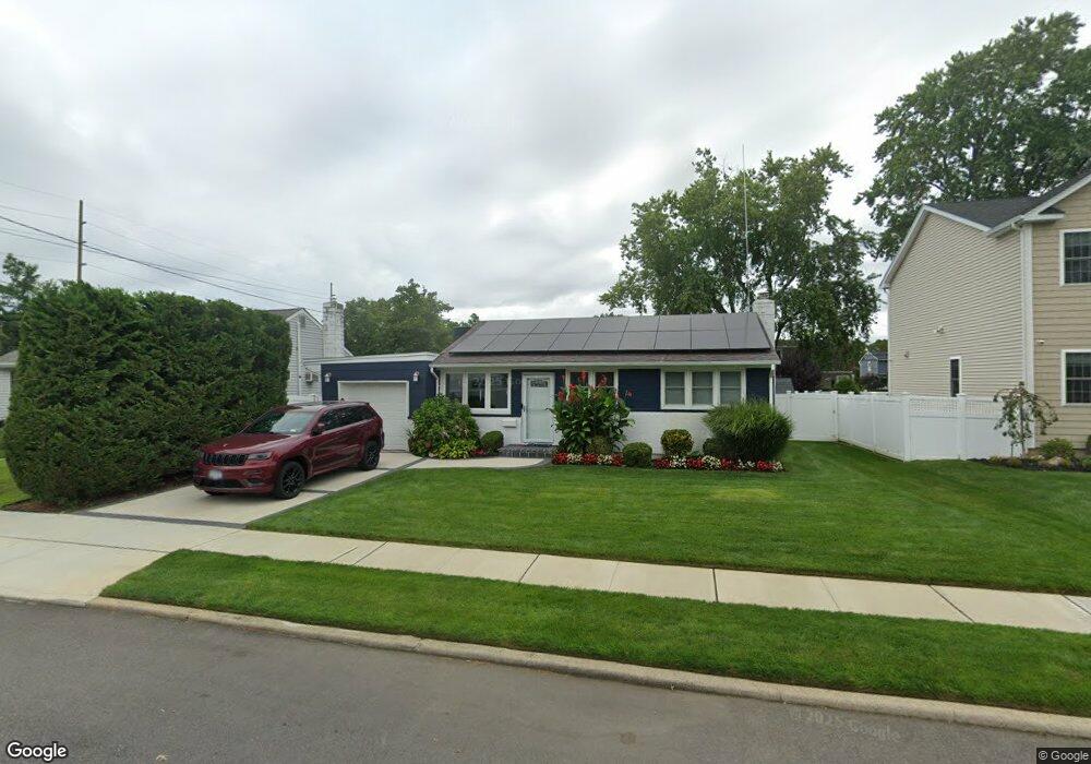
71 Boston Ave Massapequa, NY 11758
Estimated Value: $558,000 - $597,160
--
Bed
1
Bath
1,012
Sq Ft
$571/Sq Ft
Est. Value
About This Home
This home is located at 71 Boston Ave, Massapequa, NY 11758 and is currently estimated at $577,580, approximately $570 per square foot. 71 Boston Ave is a home located in Nassau County with nearby schools including Massapequa High School - Ames Campus, Berner Middle School, and Massapequa High School.
Ownership History
Date
Name
Owned For
Owner Type
Purchase Details
Closed on
Apr 22, 2016
Sold by
Carroll Luciana T
Bought by
Staats Justin and Failla Brittany
Current Estimated Value
Home Financials for this Owner
Home Financials are based on the most recent Mortgage that was taken out on this home.
Original Mortgage
$285,000
Outstanding Balance
$226,638
Interest Rate
3.71%
Mortgage Type
New Conventional
Estimated Equity
$350,942
Create a Home Valuation Report for This Property
The Home Valuation Report is an in-depth analysis detailing your home's value as well as a comparison with similar homes in the area
Home Values in the Area
Average Home Value in this Area
Purchase History
| Date | Buyer | Sale Price | Title Company |
|---|---|---|---|
| Staats Justin | $300,000 | Judicial Title |
Source: Public Records
Mortgage History
| Date | Status | Borrower | Loan Amount |
|---|---|---|---|
| Open | Staats Justin | $285,000 |
Source: Public Records
Tax History Compared to Growth
Tax History
| Year | Tax Paid | Tax Assessment Tax Assessment Total Assessment is a certain percentage of the fair market value that is determined by local assessors to be the total taxable value of land and additions on the property. | Land | Improvement |
|---|---|---|---|---|
| 2025 | $10,086 | $393 | $176 | $217 |
| 2024 | $3,024 | $406 | $182 | $224 |
| 2023 | $9,537 | $423 | $189 | $234 |
| 2022 | $9,537 | $425 | $190 | $235 |
| 2021 | $8,956 | $427 | $191 | $236 |
| 2020 | $8,659 | $538 | $537 | $1 |
| 2019 | $8,572 | $577 | $492 | $85 |
| 2018 | $8,544 | $754 | $0 | $0 |
| 2017 | $6,101 | $754 | $643 | $111 |
| 2016 | $9,769 | $754 | $643 | $111 |
| 2015 | $3,111 | $754 | $643 | $111 |
| 2014 | $3,111 | $754 | $643 | $111 |
| 2013 | $2,813 | $754 | $643 | $111 |
Source: Public Records
Map
Nearby Homes
- 73 Massachusetts Ave
- 102 Boston Ave
- 86 Cleveland Ave
- 70 Pittsburgh Ave
- 20 Boston Ave
- 11 Pittsburgh Ave
- 22 Commonwealth Ave
- 73 Chicago Ave
- 101 Toronto Ave
- 76 Hamilton Ave
- 121 Ontario Ave
- 163 Massachusetts Ave
- 51 Michigan Ave
- 104 Clark Ave
- 36 Michigan Ave
- 136 Euclid Ave
- 63 Pennsylvania Ave
- 1427 Washington Ave
- 598 N Suffolk Ave
- 4060 Clark St
- 73 Boston Ave
- 69 Boston Ave
- 72 Massachusetts Ave
- 70 Massachusetts Ave
- 632 Hicksville Rd
- 76 Massachusetts Ave
- 70 Boston Ave
- 74 Boston Ave
- 79 Boston Ave
- 630 Hicksville Rd
- 80 Massachusetts Ave
- 76 Boston Ave
- 67 Massachusetts Ave
- 71 Baltimore Ave
- 657 Hicksville Rd
- 657 Hicksville Rd
- 628 Hicksville Rd
- 633 Hicksville Rd
- 80 Boston Ave
- 73 Baltimore Ave