71 Bradley Ln Colquitt, GA 39837
Estimated Value: $163,000 - $281,000
3
Beds
1
Bath
1,600
Sq Ft
$139/Sq Ft
Est. Value
About This Home
This home is located at 71 Bradley Ln, Colquitt, GA 39837 and is currently estimated at $222,000, approximately $138 per square foot. 71 Bradley Ln is a home located in Miller County with nearby schools including Miller County Elementary School, Miller County Middle School, and Miller County High School.
Ownership History
Date
Name
Owned For
Owner Type
Purchase Details
Closed on
Jan 14, 2022
Sold by
Bradley Charles L
Bought by
West Clarence and West Kathy Jean
Current Estimated Value
Purchase Details
Closed on
May 28, 2008
Sold by
Bradley Charles Lee
Bought by
Bradley Charles Lee
Purchase Details
Closed on
Dec 29, 2004
Sold by
Bradley Charles L
Bought by
Bradley Charles and Bradley Melinda
Purchase Details
Closed on
Mar 17, 1997
Bought by
Bradley Charles L
Purchase Details
Closed on
Apr 9, 1993
Bought by
Bradley Deborah
Purchase Details
Closed on
Aug 10, 1990
Bought by
Bradley Charles and Bradley Deborah
Create a Home Valuation Report for This Property
The Home Valuation Report is an in-depth analysis detailing your home's value as well as a comparison with similar homes in the area
Home Values in the Area
Average Home Value in this Area
Purchase History
| Date | Buyer | Sale Price | Title Company |
|---|---|---|---|
| West Clarence | $230,000 | -- | |
| Bradley Charles Lee | -- | -- | |
| Bradley Charles | $105,000 | -- | |
| Bradley Charles L | $53,500 | -- | |
| Bradley Deborah | -- | -- | |
| Bradley Charles | -- | -- |
Source: Public Records
Tax History Compared to Growth
Tax History
| Year | Tax Paid | Tax Assessment Tax Assessment Total Assessment is a certain percentage of the fair market value that is determined by local assessors to be the total taxable value of land and additions on the property. | Land | Improvement |
|---|---|---|---|---|
| 2024 | $3,067 | $103,397 | $24,847 | $78,550 |
| 2023 | $2,428 | $80,609 | $24,847 | $55,762 |
| 2022 | $2,432 | $78,278 | $24,847 | $53,431 |
| 2021 | $2,399 | $78,342 | $24,847 | $53,495 |
| 2020 | $2,390 | $78,342 | $24,847 | $53,495 |
| 2019 | $2,386 | $78,342 | $24,847 | $53,495 |
| 2018 | $2,889 | $78,342 | $24,847 | $53,495 |
| 2017 | $2,889 | $78,342 | $24,847 | $53,495 |
| 2016 | $2,329 | $79,334 | $24,847 | $54,486 |
| 2015 | -- | $56,686 | $12,717 | $43,969 |
| 2014 | -- | $60,722 | $16,752 | $43,969 |
| 2013 | -- | $0 | $0 | $0 |
Source: Public Records
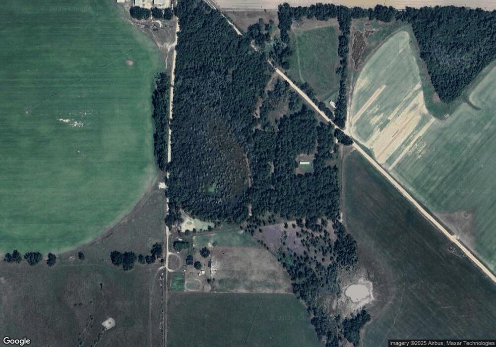
Map
Nearby Homes
- 00 Stein Rd
- 52 New Hope Rd
- 1563 Ga Highway 27 N
- 74 Harmony Church Rd
- 755 Mayhaw Rd
- 745 Harmony Church Rd
- Grady Cobb Rd
- 300 N First St
- Pullen Rd
- 210 N First St
- 216 Willow Glen Dr
- 157 E Pine St
- 2835 Georgia 91
- 203 Willow Glen Dr
- US 27 Us Highway 27
- 000 Phillipsburg Rd
- 102 Bremond St
- 21141 Lucile Rd
- 356 E Main St
- 570 E Pine St
- 766 W Sheffield Rd Unit 736
- 4869 W Sheffield Rd
- 4781 W Sheffield Rd
- 1097 Cooper Loop
- 655 W Sheffield Rd
- 890 Cooper Loop
- 857 Cooper Loop
- 216 Cannon Rd
- 1295 Cooper Loop
- 1345 Cooper Loop
- 153 Cannon Rd
- 504 Cannon Rd
- 555 Cooper Loop
- 249 Stein Rd
- 41 Reese Rd
- 281 Reese Rd
- 10 Reese Rd
- 345 Cannon Rd
- 1881 Cooper Loop
- 166 Stein Rd