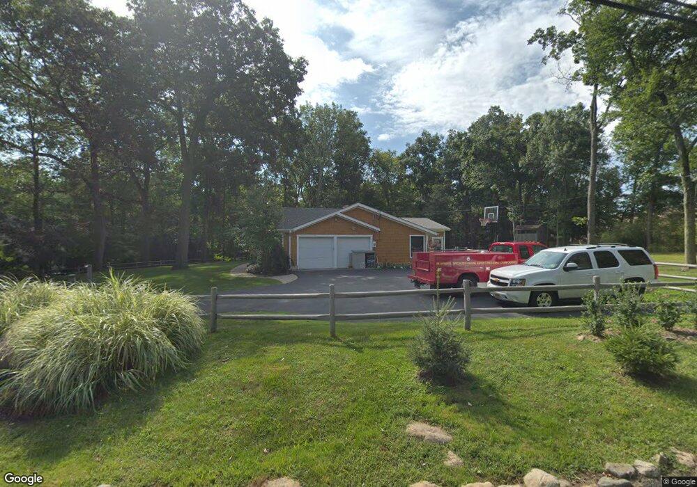
71 Brookside Dr Upper Saddle River, NJ 07458
Estimated Value: $1,021,000 - $1,216,000
Studio
--
Bath
2,421
Sq Ft
$460/Sq Ft
Est. Value
About This Home
This home is located at 71 Brookside Dr, Upper Saddle River, NJ 07458 and is currently estimated at $1,114,079, approximately $460 per square foot. 71 Brookside Dr is a home located in Bergen County with nearby schools including Robert D. Reynolds Elementary School, Edith A. Bogert Elementary School, and Emil A. Cavallini Middle School.
Ownership History
Date
Name
Owned For
Owner Type
Purchase Details
Closed on
Mar 21, 2012
Sold by
Cheman John
Bought by
Pizappi Cheryl
Current Estimated Value
Purchase Details
Closed on
Mar 10, 2008
Sold by
Antonelli Susan and Tchertkoff Mildred
Bought by
Cheman John and Cheman Cheryl
Home Financials for this Owner
Home Financials are based on the most recent Mortgage that was taken out on this home.
Original Mortgage
$400,000
Interest Rate
5.75%
Mortgage Type
New Conventional
Purchase Details
Closed on
Nov 26, 1997
Sold by
Antonelli Susan and Moss Susan
Bought by
Tchertkoff Mildred
Create a Home Valuation Report for This Property
The Home Valuation Report is an in-depth analysis detailing your home's value as well as a comparison with similar homes in the area
Home Values in the Area
Average Home Value in this Area
Purchase History
| Date | Buyer | Sale Price | Title Company |
|---|---|---|---|
| Pizappi Cheryl | -- | -- | |
| Cheman John | $500,000 | -- | |
| Tchertkoff Mildred | -- | -- |
Source: Public Records
Mortgage History
| Date | Status | Borrower | Loan Amount |
|---|---|---|---|
| Previous Owner | Cheman John | $400,000 |
Source: Public Records
Tax History
| Year | Tax Paid | Tax Assessment Tax Assessment Total Assessment is a certain percentage of the fair market value that is determined by local assessors to be the total taxable value of land and additions on the property. | Land | Improvement |
|---|---|---|---|---|
| 2025 | $13,888 | $545,500 | $351,000 | $194,500 |
| 2024 | $13,528 | $545,500 | $351,000 | $194,500 |
| 2023 | $13,490 | $545,500 | $351,000 | $194,500 |
| 2022 | $13,490 | $545,500 | $351,000 | $194,500 |
| 2021 | $13,463 | $545,500 | $351,000 | $194,500 |
| 2020 | $13,277 | $545,500 | $351,000 | $194,500 |
| 2019 | $12,972 | $545,500 | $351,000 | $194,500 |
| 2018 | $12,879 | $545,500 | $351,000 | $194,500 |
| 2017 | $12,776 | $545,500 | $351,000 | $194,500 |
| 2016 | $12,388 | $545,500 | $351,000 | $194,500 |
| 2015 | $12,208 | $545,500 | $351,000 | $194,500 |
| 2014 | $11,990 | $545,500 | $351,000 | $194,500 |
Source: Public Records
Map
Nearby Homes
- 56 Pinehill Dr
- 7 Brookside Dr
- 22 Pembroke Trail
- 19 Crescent Hollow Ct
- 100 Lake St
- 33 Sherwood Dr
- 48 Pleasant Ave
- 75 Cherokee Ave
- 5306 Christopher St
- 210 Washington Dr
- 901 Washington Dr
- 18 Wildwood Rd
- 262 W Saddle River Rd
- 19 Meadowbrook Rd
- 369 W Saddle River Rd
- 373 W Saddle River Rd
- 261 E Saddle River Rd
- 19 Fox Run Rd Unit 19
- 121 Surrey Ct
- 64 Stoney Ridge Rd
- 72 Brookside Dr
- 68 Brookside Dr
- 63 Brookside Dr
- 8 Birchwood Ct
- 64 Brookside Dr
- 15 Birchwood Ct
- 12 Birchwood Ct
- 16 Birchwood Ct
- 49 Brookside Dr
- 60 Brookside Dr
- 60 Brookside Dr
- 60 Brookside Dr Unit x
- 60 Brookside Dr Unit 1
- 45 Brookside Dr
- 18 Birchwood Ct
- 44 Pinehill Dr
- 39 Brookside Dr
- 56 Brookside Dr
- 40 Pinehill Dr
- 536 State Rt 17 Unit B
Your Personal Tour Guide
Ask me questions while you tour the home.