71 Brown Cir Toccoa, GA 30577
Estimated Value: $224,000 - $311,000
3
Beds
2
Baths
2,088
Sq Ft
$123/Sq Ft
Est. Value
About This Home
This home is located at 71 Brown Cir, Toccoa, GA 30577 and is currently estimated at $255,906, approximately $122 per square foot. 71 Brown Cir is a home located in Stephens County with nearby schools including Stephens County High School.
Ownership History
Date
Name
Owned For
Owner Type
Purchase Details
Closed on
Aug 1, 2000
Bought by
Shady David R and Shady Betty K
Current Estimated Value
Purchase Details
Closed on
Aug 1, 1993
Bought by
<Buyer Info Not Present>
Purchase Details
Closed on
Apr 1, 1992
Bought by
<Buyer Info Not Present>
Purchase Details
Closed on
Feb 1, 1987
Bought by
<Buyer Info Not Present>
Create a Home Valuation Report for This Property
The Home Valuation Report is an in-depth analysis detailing your home's value as well as a comparison with similar homes in the area
Purchase History
| Date | Buyer | Sale Price | Title Company |
|---|---|---|---|
| Shady David R | $80,000 | -- | |
| <Buyer Info Not Present> | $55,000 | -- | |
| <Buyer Info Not Present> | $52,000 | -- | |
| <Buyer Info Not Present> | $45,000 | -- |
Source: Public Records
Tax History
| Year | Tax Paid | Tax Assessment Tax Assessment Total Assessment is a certain percentage of the fair market value that is determined by local assessors to be the total taxable value of land and additions on the property. | Land | Improvement |
|---|---|---|---|---|
| 2025 | $767 | $77,524 | $3,336 | $74,188 |
| 2024 | $421 | $48,875 | $3,336 | $45,539 |
| 2023 | $310 | $45,288 | $3,336 | $41,952 |
| 2022 | $229 | $42,592 | $3,336 | $39,256 |
| 2021 | $121 | $38,749 | $3,336 | $35,413 |
| 2020 | $136 | $39,196 | $3,336 | $35,860 |
| 2019 | $129 | $38,938 | $3,336 | $35,602 |
| 2018 | $129 | $38,938 | $3,336 | $35,602 |
| 2017 | $132 | $38,938 | $3,336 | $35,602 |
| 2016 | $135 | $38,938 | $3,336 | $35,602 |
| 2015 | $141 | $38,867 | $3,336 | $35,531 |
| 2014 | $165 | $39,522 | $3,336 | $36,186 |
| 2013 | -- | $39,976 | $3,336 | $36,640 |
Source: Public Records
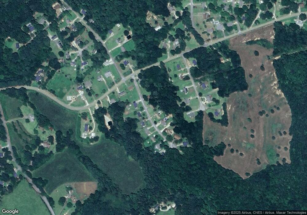
Map
Nearby Homes
- 545 Shady Ln
- 5.10 ACRES Hwy 123
- 535 Deer Chase
- Lot 21 Deer Chase
- 337 Rock Creek Rd
- 3877 Georgia 17
- 28 Memorial Dr
- 0 Brookhaven Cir Unit 10616964
- 668 Brookdale Rd
- 551 P S Rd
- 46 Cedar Ridge Dr
- 00 Memorial Dr
- 00 Meadowbrook Dr
- 513 S Red Rock Rd
- 104-110 White Pine Rd
- 451 Defoor Rd
- 321 Quail Forest Cir
- 43 Sycamore Dr
- 297 Ayers Creek Dr
- 327 Ayers Creek Dr
- 93 Brown Cir
- 74 Brown Cir
- 92 Brown Cir
- 113 Brown Cir
- 54 Brown Cir
- 120 Brown Cir
- 1208 Rock Creek Rd
- 1238 Rock Creek Rd
- 1284 Rock Creek Rd
- 135 Brown Cir
- 1190 Rock Creek Rd
- 1190 Rock Creek Rd Unit 1
- 72 Apple Ridge Rd
- 96 Apple Ridge Rd
- 128 Brown Cir
- 38 Apple Ridge Rd Unit 2
- 38 Apple Ridge Rd
- 157 Brown Cir
- 104 Apple Ridge Rd
- 1166 Rock Creek Rd
Your Personal Tour Guide
Ask me questions while you tour the home.