71 Buck Rd Reeds Spring, MO 65737
Estimated Value: $335,102 - $438,000
5
Beds
3
Baths
2,725
Sq Ft
$142/Sq Ft
Est. Value
About This Home
This home is located at 71 Buck Rd, Reeds Spring, MO 65737 and is currently estimated at $388,026, approximately $142 per square foot. 71 Buck Rd is a home located in Stone County with nearby schools including Reeds Spring Primary School, Reeds Spring Elementary School, and Reeds Spring Middle School.
Ownership History
Date
Name
Owned For
Owner Type
Purchase Details
Closed on
Jul 26, 2019
Sold by
Estrada Crystal G and The Crystal G Estrada Revocabl
Bought by
Estrada Jacob Alexander and Estrada Crystal G
Current Estimated Value
Purchase Details
Closed on
Dec 18, 2012
Sold by
The Secretary Of Hud
Bought by
Place Crystal
Purchase Details
Closed on
Jan 20, 2012
Sold by
Williams Roy E and Williams Dorothea Sue
Bought by
Branch Banking And Trust Co
Create a Home Valuation Report for This Property
The Home Valuation Report is an in-depth analysis detailing your home's value as well as a comparison with similar homes in the area
Home Values in the Area
Average Home Value in this Area
Purchase History
| Date | Buyer | Sale Price | Title Company |
|---|---|---|---|
| Estrada Jacob Alexander | -- | None Available | |
| Place Crystal | -- | None Available | |
| Branch Banking And Trust Co | $181,885 | None Available |
Source: Public Records
Tax History
| Year | Tax Paid | Tax Assessment Tax Assessment Total Assessment is a certain percentage of the fair market value that is determined by local assessors to be the total taxable value of land and additions on the property. | Land | Improvement |
|---|---|---|---|---|
| 2025 | $1,185 | $24,190 | -- | -- |
| 2024 | $1,183 | $24,190 | -- | -- |
| 2023 | $1,183 | $24,190 | $0 | $0 |
| 2022 | $1,177 | $24,190 | $0 | $0 |
| 2021 | $1,191 | $24,190 | $0 | $0 |
| 2020 | $1,049 | $24,190 | $0 | $0 |
| 2019 | $1,043 | $24,190 | $0 | $0 |
| 2018 | $1,042 | $24,190 | $0 | $0 |
| 2017 | $1,043 | $24,190 | $0 | $0 |
| 2016 | $1,104 | $24,190 | $0 | $0 |
| 2015 | $1,106 | $26,330 | $0 | $0 |
| 2014 | $1,089 | $26,330 | $0 | $0 |
| 2012 | $1,091 | $26,330 | $0 | $0 |
Source: Public Records
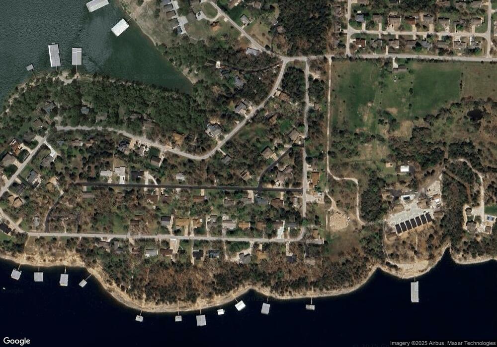
Map
Nearby Homes
- 781 Santana Cir
- 178 Pinewood Dr
- 67 Fishermans Tale Ln
- 140 Clear Cove Dr
- 49 Romans Rd
- 57 Kings Cove Ln
- 119 Kings Cove Ln
- 62 Clear Cove Dr
- 41 Clear Cove Dr
- 134 Wright Rd
- 220 Vacation Ln Unit 4
- 140 Apostle Dr
- 47 Old Oak Hill Dr Unit 31
- 198 Wright Rd
- 158 Wildflower Rd
- 32 Bocote Dr Unit 28
- 245 Wildflower Rd
- 46 Teak Dr Unit 17
- 34 Beech Dr Unit 36
- 235 Carefree Ln Unit 16
- 143 Santana Cir
- 58 Pinewood Dr
- 000 Buck
- 44 Pinewood Dr
- 39 Buck Rd
- 42 Buck Rd
- 28 Pinewood Dr
- 120 Pinewood Dr
- 753 Santana Cir
- 118 Santana Cir
- 795 Santana Cir
- 0 Pinewood Dr
- Lot 68 Pinewood Dr
- 207 Santana Cir
- 737 Santana Cir
- 883 Santana Cir
- 813 Santana Cir
- Lots 44 Santana Cir
- Tbd Santana Cir
- Lot 34 Santana Cir
Your Personal Tour Guide
Ask me questions while you tour the home.