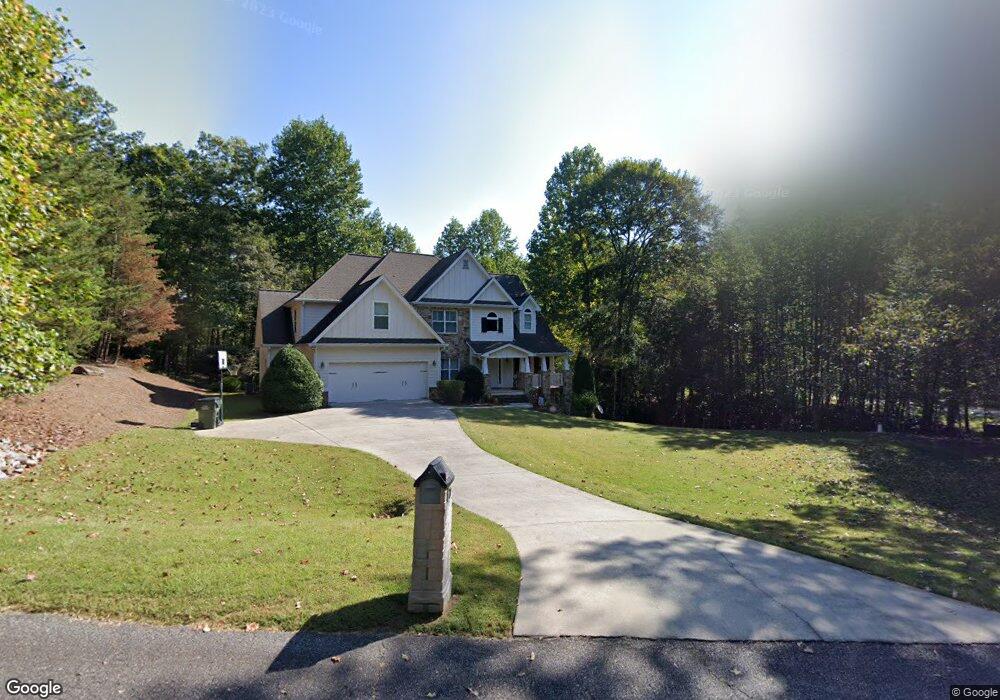
71 Buckeye Ln N Dahlonega, GA 30533
Estimated Value: $678,629 - $836,000
--
Bed
4
Baths
3,403
Sq Ft
$223/Sq Ft
Est. Value
About This Home
This home is located at 71 Buckeye Ln N, Dahlonega, GA 30533 and is currently estimated at $759,157, approximately $223 per square foot. 71 Buckeye Ln N is a home located in Lumpkin County with nearby schools including Clay County Middle School and Lumpkin County High School.
Ownership History
Date
Name
Owned For
Owner Type
Purchase Details
Closed on
Aug 1, 2007
Sold by
Not Provided
Bought by
Deuschle David J and Deuschle Joann M
Current Estimated Value
Purchase Details
Closed on
Nov 15, 2005
Sold by
Gold Cove Development Corp
Bought by
Stalvey Joseph A and Stalvey Timothy A
Purchase Details
Closed on
Jun 30, 1995
Bought by
Gold Cove Development Corp
Create a Home Valuation Report for This Property
The Home Valuation Report is an in-depth analysis detailing your home's value as well as a comparison with similar homes in the area
Home Values in the Area
Average Home Value in this Area
Purchase History
| Date | Buyer | Sale Price | Title Company |
|---|---|---|---|
| Deuschle David J | $359,000 | -- | |
| Stalvey Joseph A | $47,000 | -- | |
| Gold Cove Development Corp | -- | -- |
Source: Public Records
Tax History Compared to Growth
Tax History
| Year | Tax Paid | Tax Assessment Tax Assessment Total Assessment is a certain percentage of the fair market value that is determined by local assessors to be the total taxable value of land and additions on the property. | Land | Improvement |
|---|---|---|---|---|
| 2024 | $2,666 | $230,916 | $14,000 | $216,916 |
| 2023 | $2,196 | $216,465 | $14,000 | $202,465 |
| 2022 | $2,735 | $214,123 | $14,000 | $200,123 |
| 2021 | $1,895 | $178,511 | $13,060 | $165,451 |
| 2020 | $1,818 | $173,726 | $13,060 | $160,666 |
| 2019 | $1,848 | $173,726 | $13,060 | $160,666 |
| 2018 | $1,424 | $153,764 | $13,060 | $140,704 |
| 2017 | $1,226 | $145,254 | $13,060 | $132,194 |
| 2016 | $940 | $133,174 | $13,060 | $120,114 |
| 2015 | $747 | $133,174 | $13,060 | $120,114 |
| 2014 | $747 | $134,466 | $13,060 | $121,406 |
| 2013 | -- | $135,757 | $13,060 | $122,697 |
Source: Public Records
Map
Nearby Homes
- 0 Gold Crest Dr Unit 7623108
- 0 Gold Crest Dr Unit 10373986
- 2041 Long Branch Rd
- 2041 Long Branch Rd Unit TRACT 2A
- 668 Gold Cove Dr
- 201 Perkins Rd
- 205 Perkins Rd
- 245 Perkins Rd
- 85 Waterloo Dr
- 0 Gold View Dr
- 72 Rustin Ridge Unit 276
- 58 Rustin Ridge Unit 278
- 42 Rustin Ridge Unit 285
- 1376 Robinson Rd
- 0 Stamp Mill Dr
- 133 Stamp Mill Dr
- 38 Cavender Run
- 134 Prospector Ridge
- 0 Robinson Rd Unit 10597950
- 0 Robinson Rd Unit 7643549
- 19 Buckeye Ln
- 153 Buckeye Ln N
- 0 Buckeye Ln
- 0 Buckeye Ln Unit 3191545
- 6 Buckeye Ln
- 104 Buckeye Ln
- 6 Buckeye Ln N
- 162 Gold View Dr
- 1934 Long Branch Rd
- 210 Buckeye Ln
- 169 Gold View Dr
- 122 Gold View
- 373 Buckeye Ln S
- 409 Buckeye Ln
- 316 Gold Cove Dr
- 1932 Long Branch Rd
- 89 Buckeye Ridge W
- LOT 1 Gold View Dr
- Lot 43 Gold View Dr
- Lot #1 Gold View Dr