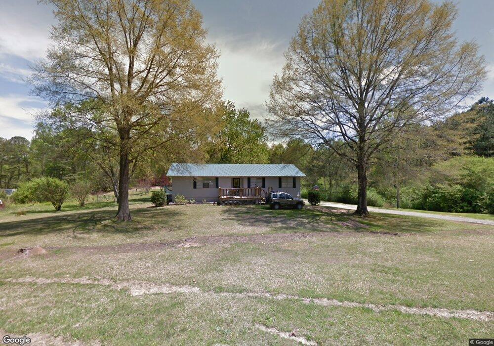
71 Calvert Rd Jasper, AL 35504
Estimated Value: $118,000
Studio
--
Bath
1,600
Sq Ft
$74/Sq Ft
Est. Value
About This Home
This home is located at 71 Calvert Rd, Jasper, AL 35504 and is currently estimated at $118,000, approximately $73 per square foot. 71 Calvert Rd is a home located in Walker County.
Ownership History
Date
Name
Owned For
Owner Type
Purchase Details
Closed on
Nov 4, 2022
Sold by
Lane Carl J and Lane Hathairat
Bought by
Howton Synthia K
Current Estimated Value
Home Financials for this Owner
Home Financials are based on the most recent Mortgage that was taken out on this home.
Original Mortgage
$85,500
Outstanding Balance
$82,780
Interest Rate
6.81%
Mortgage Type
Construction
Estimated Equity
$35,220
Purchase Details
Closed on
Sep 25, 2013
Sold by
Lane Terry H
Bought by
Lane Carl Jerome
Home Financials for this Owner
Home Financials are based on the most recent Mortgage that was taken out on this home.
Original Mortgage
$52,157
Interest Rate
3.58%
Create a Home Valuation Report for This Property
The Home Valuation Report is an in-depth analysis detailing your home's value as well as a comparison with similar homes in the area
Purchase History
| Date | Buyer | Sale Price | Title Company |
|---|---|---|---|
| Howton Synthia K | $95,000 | Attorney Only | |
| Lane Carl Jerome | -- | -- |
Source: Public Records
Mortgage History
| Date | Status | Borrower | Loan Amount |
|---|---|---|---|
| Open | Howton Synthia K | $85,500 | |
| Previous Owner | Lane Carl Jerome | $52,157 |
Source: Public Records
Tax History
| Year | Tax Paid | Tax Assessment Tax Assessment Total Assessment is a certain percentage of the fair market value that is determined by local assessors to be the total taxable value of land and additions on the property. | Land | Improvement |
|---|---|---|---|---|
| 2024 | $45 | $1,240 | $940 | $300 |
| 2023 | $32 | $13,570 | $2,250 | $11,320 |
| 2022 | $302 | $12,680 | $1,880 | $10,800 |
| 2021 | $279 | $11,746 | $1,880 | $9,866 |
| 2020 | $279 | $12,660 | $2,780 | $9,880 |
| 2019 | $279 | $12,660 | $2,780 | $9,880 |
| 2018 | $212 | $10,040 | $2,640 | $7,400 |
| 2017 | $212 | $10,040 | $2,640 | $7,400 |
| 2016 | $212 | $10,040 | $2,640 | $7,400 |
| 2015 | $212 | $10,040 | $2,640 | $7,400 |
| 2014 | $202 | $9,660 | $2,400 | $7,260 |
| 2013 | $217 | $8,520 | $1,400 | $7,120 |
Source: Public Records
Map
Nearby Homes
- 61 Trinity Ln
- 130 Drummond Rd
- 205 Forest Dr
- 2145 Sunlight Rd
- 1221 Old Duncan Bridge Rd
- 281 Shady Way Ln
- 27 Pinedale Shores Rd
- 0 Pinedale Shores Rd Unit 21443085
- 121 S Bay Dr
- 178 Camp Jimmy Goodwin Rd
- 134 Lake Shore Dr
- 186 Lake Shore South Dr
- 97 Noah's Rd
- LOT 38 Sipsey Shores Dr
- LOT 54 Sipsey Shores Dr
- LOT 18 Sipsey Shores Dr
- 0 Sipsey Shores Dr
- 85 Reeses Ct
- 3784 Curry Hwy
- 41 Sipsey Shores Dr
- 934 Drummond Rd
- 988 Drummond Rd
- 675 Drummond Rd
- 1225 Drummond Rd
- 1124 Drummond Rd
- 375 Calvert Rd
- 626 Drummond Rd
- 1184 Drummond Rd
- 5231 Burrows Crossing Rd
- 237 Drummond Cut Off Rd
- 1294 Drummond Rd
- 5333 Burrows Crossing Rd
- 5197 Burrows Crossing Rd
- 466 Drummond Rd
- 141 Drummond Cut Off Rd
- 5272 Burrows Crossing Rd
- 436 Drummond Rd
- 111 Drummond Cut Off Rd
- 111 Drummond Cut-Off Rd
- 5099 Burrows Crossing Rd
Your Personal Tour Guide
Ask me questions while you tour the home.