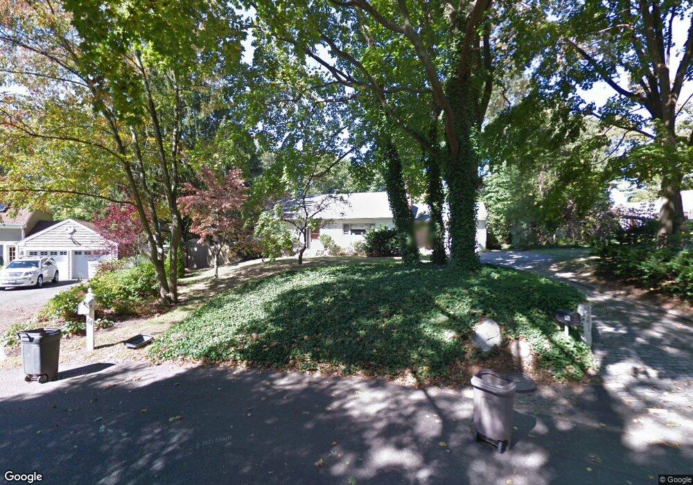
71 Cannon Ct Huntington, NY 11743
Estimated Value: $918,000 - $1,086,000
3
Beds
2
Baths
--
Sq Ft
0.5
Acres
About This Home
This home is located at 71 Cannon Ct, Huntington, NY 11743 and is currently estimated at $976,177. 71 Cannon Ct is a home located in Suffolk County with nearby schools including Woodhull Intermediate School, Southdown Primary School, and J Taylor Finley Middle School.
Ownership History
Date
Name
Owned For
Owner Type
Purchase Details
Closed on
Nov 30, 2016
Sold by
Gross Barbara R
Bought by
Labosco Paul L and Labosco Denise
Current Estimated Value
Home Financials for this Owner
Home Financials are based on the most recent Mortgage that was taken out on this home.
Original Mortgage
$380,625
Outstanding Balance
$307,537
Interest Rate
3.54%
Mortgage Type
New Conventional
Estimated Equity
$668,640
Purchase Details
Closed on
Oct 8, 2004
Sold by
Weiner Hilda B Surviving Tenant
Bought by
Gross Edward S
Create a Home Valuation Report for This Property
The Home Valuation Report is an in-depth analysis detailing your home's value as well as a comparison with similar homes in the area
Home Values in the Area
Average Home Value in this Area
Purchase History
| Date | Buyer | Sale Price | Title Company |
|---|---|---|---|
| Labosco Paul L | $507,500 | First American Title | |
| Gross Edward S | $539,000 | Thomas Larounis |
Source: Public Records
Mortgage History
| Date | Status | Borrower | Loan Amount |
|---|---|---|---|
| Open | Labosco Paul L | $380,625 |
Source: Public Records
Tax History Compared to Growth
Tax History
| Year | Tax Paid | Tax Assessment Tax Assessment Total Assessment is a certain percentage of the fair market value that is determined by local assessors to be the total taxable value of land and additions on the property. | Land | Improvement |
|---|---|---|---|---|
| 2024 | $17,152 | $4,525 | $300 | $4,225 |
| 2023 | $8,576 | $4,525 | $300 | $4,225 |
| 2022 | $12,543 | $4,525 | $300 | $4,225 |
| 2021 | $12,423 | $3,300 | $300 | $3,000 |
| 2020 | $12,284 | $3,300 | $300 | $3,000 |
| 2019 | $24,569 | $0 | $0 | $0 |
| 2018 | $11,669 | $3,300 | $300 | $3,000 |
| 2017 | $11,669 | $3,300 | $300 | $3,000 |
| 2016 | $11,499 | $3,300 | $300 | $3,000 |
| 2015 | -- | $3,300 | $300 | $3,000 |
| 2014 | -- | $3,300 | $300 | $3,000 |
Source: Public Records
Map
Nearby Homes
- 24 Overlook Dr
- 2 Overlook Dr
- 32 Cliftwood Dr
- 77 Abbott Dr
- 15 Severin Place
- 259 Park Ave
- 45 Abbott Dr
- 0 Glades Way Unit 1
- 0 Glades Way
- 9 Cliftwood Dr
- 35 Gristmill Ln
- 4 Parkview Terrace
- 2 Valley St
- 57 Old Town Ln
- 95 Huntington Bay Rd
- 2 Winchester Ln
- 59 Jackson Ave
- 26 Polly Dr
- 105 Prime Ave Unit B7
- 105 Prime Ave Unit D4
- 67 Cannon Ct
- 120 Maple Hill Rd
- 134 Maple Hill Rd
- 65 Cannon Ct
- 108 Maple Hill Rd
- 61 View Acre Dr
- 70 Cannon Ct
- 57 View Acre Dr
- 66 Cannon Ct
- 63 Cannon Ct
- 63A Cannon Ct
- 138 Maple Hill Rd
- 64 Cannon Ct
- 90 Maple Hill Rd
- 142 Maple Hill Rd
- 115 Maple Hill Rd
- 109 Maple Hill Rd
- 60 Cannon Ct
- 129 Maple Hill Rd
- 12 Overlook Dr