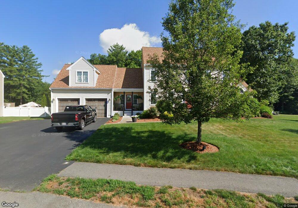
71 Captain Allen Way Whitman, MA 02382
Estimated Value: $884,000 - $1,064,000
6
Beds
3
Baths
4,373
Sq Ft
$232/Sq Ft
Est. Value
About This Home
This home is located at 71 Captain Allen Way, Whitman, MA 02382 and is currently estimated at $1,012,365, approximately $231 per square foot. 71 Captain Allen Way is a home with nearby schools including Trinity Catholic Academy, Brockton Area Seventh-Day Adventist Academy, and Cardinal Spellman High School.
Ownership History
Date
Name
Owned For
Owner Type
Purchase Details
Closed on
Jun 5, 2015
Sold by
Egan Development Llc
Bought by
Beaupre Paul and Beaupre Joanna
Current Estimated Value
Home Financials for this Owner
Home Financials are based on the most recent Mortgage that was taken out on this home.
Original Mortgage
$516,000
Interest Rate
3.62%
Mortgage Type
New Conventional
Create a Home Valuation Report for This Property
The Home Valuation Report is an in-depth analysis detailing your home's value as well as a comparison with similar homes in the area
Home Values in the Area
Average Home Value in this Area
Purchase History
| Date | Buyer | Sale Price | Title Company |
|---|---|---|---|
| Beaupre Paul | $645,000 | -- |
Source: Public Records
Mortgage History
| Date | Status | Borrower | Loan Amount |
|---|---|---|---|
| Closed | Beaupre Paul | $516,000 |
Source: Public Records
Tax History Compared to Growth
Tax History
| Year | Tax Paid | Tax Assessment Tax Assessment Total Assessment is a certain percentage of the fair market value that is determined by local assessors to be the total taxable value of land and additions on the property. | Land | Improvement |
|---|---|---|---|---|
| 2025 | $13,169 | $1,003,700 | $245,500 | $758,200 |
| 2024 | $12,228 | $959,800 | $241,200 | $718,600 |
| 2023 | $11,478 | $845,800 | $209,800 | $636,000 |
| 2022 | $11,433 | $785,200 | $190,300 | $594,900 |
| 2021 | $11,176 | $721,000 | $173,000 | $548,000 |
| 2020 | $11,076 | $698,800 | $167,600 | $531,200 |
| 2019 | $10,618 | $690,400 | $167,600 | $522,800 |
| 2018 | $9,931 | $620,300 | $156,800 | $463,500 |
| 2017 | $9,258 | $613,900 | $156,800 | $457,100 |
| 2016 | $9,017 | $578,400 | $151,400 | $427,000 |
| 2015 | $2,363 | $151,400 | $151,400 | $0 |
Source: Public Records
Map
Nearby Homes
- 1121 Auburn St
- 877 Auburnville Way Unit D4
- 26 Alger St
- 99 Alger St
- 32 Joyce Terrace
- 307 Homeland Dr
- 728 Auburn St Unit F6
- 262 Homeland Dr
- 618 Auburn St
- 104 Crestfield Dr
- 93 Porter St
- 485 Temple St
- 205 Bedford St
- 4 Locust Hill Ln
- 967 Centre St
- 25 Plain St
- 24 Churchill Ave
- 604 Bedford St Unit 5
- 16 Davis St
- 848 N Bedford St Phase III
- 61 Captain Allen Way
- 0 Captain Allen Way
- 81 Captain Allen Way
- 6 Little Comfort Cir
- 76 Captain Allen Way
- 91 Captain Allen Way
- 21 Little Comfort Cir
- 16 Little Comfort Cir
- 100 Captain Allen Way
- 111 Captain Allen Way
- 31 Captain Allen Way
- Lot 13 Captain Allen Way
- 30 Little Comfort Cir
- 31 Little Comfort Cir
- 31 Little Comfort Cir
- 121 Captain Allen Way
- 15 Captain Allen Way
- 120 Captain Allen Way
- 118 Captain Allen Way
- 111 Little Comfort Cir