71 Charing Cross Rd Unit 38 Doylestown, PA 18901
Estimated Value: $404,000 - $442,000
3
Beds
3
Baths
1,364
Sq Ft
$309/Sq Ft
Est. Value
About This Home
This home is located at 71 Charing Cross Rd Unit 38, Doylestown, PA 18901 and is currently estimated at $421,045, approximately $308 per square foot. 71 Charing Cross Rd Unit 38 is a home located in Bucks County with nearby schools including Groveland Elementary School, Tohickon Middle School, and Central Bucks High School-West.
Ownership History
Date
Name
Owned For
Owner Type
Purchase Details
Closed on
Jan 21, 2005
Sold by
Mcgonigle Francis K
Bought by
Margenau Heather Lea
Current Estimated Value
Purchase Details
Closed on
Nov 16, 2001
Sold by
Wahl Charles H and Wahl Colette V
Bought by
Mcgonigle Francis K
Home Financials for this Owner
Home Financials are based on the most recent Mortgage that was taken out on this home.
Original Mortgage
$134,400
Interest Rate
6.67%
Create a Home Valuation Report for This Property
The Home Valuation Report is an in-depth analysis detailing your home's value as well as a comparison with similar homes in the area
Home Values in the Area
Average Home Value in this Area
Purchase History
| Date | Buyer | Sale Price | Title Company |
|---|---|---|---|
| Margenau Heather Lea | $245,000 | -- | |
| Mcgonigle Francis K | $168,000 | -- |
Source: Public Records
Mortgage History
| Date | Status | Borrower | Loan Amount |
|---|---|---|---|
| Previous Owner | Mcgonigle Francis K | $134,400 |
Source: Public Records
Tax History Compared to Growth
Tax History
| Year | Tax Paid | Tax Assessment Tax Assessment Total Assessment is a certain percentage of the fair market value that is determined by local assessors to be the total taxable value of land and additions on the property. | Land | Improvement |
|---|---|---|---|---|
| 2025 | $4,290 | $24,240 | -- | $24,240 |
| 2024 | $4,290 | $24,240 | $0 | $24,240 |
| 2023 | $4,090 | $24,240 | $0 | $24,240 |
| 2022 | $4,045 | $24,240 | $0 | $24,240 |
| 2021 | $3,961 | $24,240 | $0 | $24,240 |
| 2020 | $3,943 | $24,240 | $0 | $24,240 |
| 2019 | $3,901 | $24,240 | $0 | $24,240 |
| 2018 | $3,889 | $24,240 | $0 | $24,240 |
| 2017 | $3,858 | $24,240 | $0 | $24,240 |
| 2016 | $3,834 | $24,240 | $0 | $24,240 |
| 2015 | -- | $24,240 | $0 | $24,240 |
| 2014 | -- | $24,240 | $0 | $24,240 |
Source: Public Records
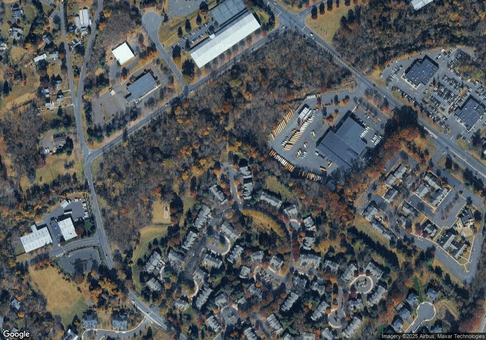
Map
Nearby Homes
- 100 Bishops Gate Ln Unit 67
- 114 Blackfriars Cir
- 194 Victoria Ct Unit 143
- 301 Windy Run Rd
- 3600 Jacob Stout Rd Unit 3
- 3723 William Daves Rd
- 3765 William Daves Rd
- 3711 Jacob Stout Rd Unit 5
- 4748 Bishop Cir
- 3838 Jacob Stout Rd
- 90 Chapman Ave
- 3923 Ferry Rd
- 418 North St
- 1 Gatehouse Ln
- 4 Old Colonial Dr Unit 254
- 333 Dorset Ct Unit 333
- 3867 Charter Club Dr
- 169 N Main St
- 146 N Church St
- 121 Cottage St
- 70 Charing Cross Rd
- 72 Charing Cross Rd
- 73 Charing Cross Rd Unit 40
- 74 Charing Cross Rd
- 75 Charing Cross Rd Unit 43
- 76 Charing Cross Rd Unit 44
- 77 Charing Cross Rd Unit 45
- 78 Charing Cross Rd
- 78 Charing Cross Rd Unit 46
- 80 Trafalgar Rd Unit 47
- 81 Trafalgar Rd
- 67 Charing Cross Rd Unit 34
- 68 Charing Cross Rd Unit 35
- 66 Charing Cross Rd
- 66 Charing Cross Rd Unit 33
- 65 Charing Cross Rd Unit 32
- 69 Charing Cross Rd Unit 36
- 82 Trafalgar Rd Unit 49
- 63 Charing Cross Rd Unit 30
- 64 Charing Cross Rd Unit 31