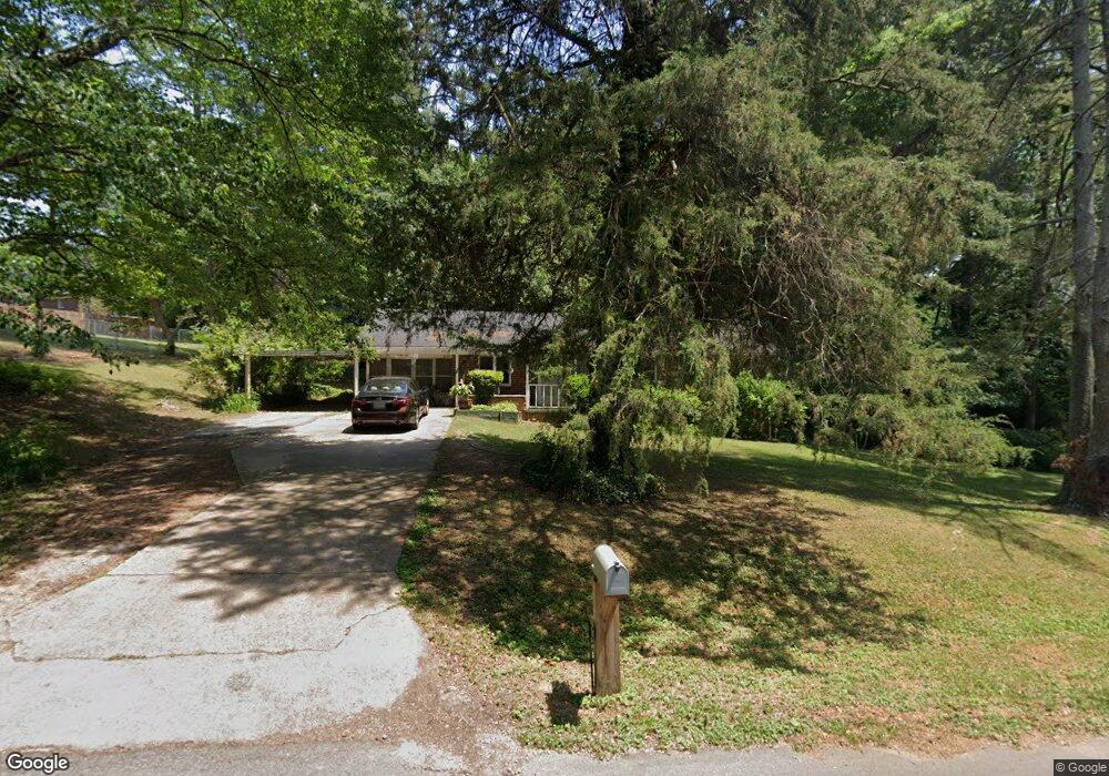
71 Cherokee Blvd Toccoa, GA 30577
Estimated Value: $139,000 - $178,000
3
Beds
1
Bath
1,204
Sq Ft
$135/Sq Ft
Est. Value
About This Home
This home is located at 71 Cherokee Blvd, Toccoa, GA 30577 and is currently estimated at $162,641, approximately $135 per square foot. 71 Cherokee Blvd is a home located in Stephens County with nearby schools including Stephens County High School.
Ownership History
Date
Name
Owned For
Owner Type
Purchase Details
Closed on
Jan 7, 2022
Sold by
Pendergrass Paul T
Bought by
Garner Jayson D and Garner Crystal L
Current Estimated Value
Purchase Details
Closed on
Jul 17, 2020
Sold by
Bailey Elizabeth P
Bought by
Pendergrass Paul T and Pendergrass Marilyn G
Purchase Details
Closed on
Dec 27, 2019
Sold by
Bailey Harriett Elizabeth
Bought by
Pendergrass Paul
Purchase Details
Closed on
Jul 8, 2002
Bought by
<Buyer Info Not Present>
Purchase Details
Closed on
Oct 1, 1996
Bought by
Bailey Elizabeth P
Purchase Details
Closed on
Aug 1, 1996
Bought by
<Buyer Info Not Present>
Create a Home Valuation Report for This Property
The Home Valuation Report is an in-depth analysis detailing your home's value as well as a comparison with similar homes in the area
Purchase History
| Date | Buyer | Sale Price | Title Company |
|---|---|---|---|
| Garner Jayson D | $77,160 | -- | |
| Pendergrass Paul T | -- | -- | |
| Pendergrass Paul | -- | -- | |
| <Buyer Info Not Present> | $69,000 | -- | |
| Bailey Elizabeth P | -- | -- | |
| <Buyer Info Not Present> | -- | -- |
Source: Public Records
Tax History
| Year | Tax Paid | Tax Assessment Tax Assessment Total Assessment is a certain percentage of the fair market value that is determined by local assessors to be the total taxable value of land and additions on the property. | Land | Improvement |
|---|---|---|---|---|
| 2025 | $1,829 | $52,423 | $5,688 | $46,735 |
| 2024 | $1,306 | $36,640 | $5,688 | $30,952 |
| 2023 | $1,092 | $34,432 | $5,688 | $28,744 |
| 2022 | $981 | $32,938 | $5,688 | $27,250 |
| 2021 | $965 | $30,867 | $5,688 | $25,179 |
| 2020 | $972 | $30,773 | $5,688 | $25,085 |
| 2019 | $976 | $30,773 | $5,688 | $25,085 |
| 2018 | $976 | $30,773 | $5,688 | $25,085 |
| 2017 | $991 | $30,773 | $5,688 | $25,085 |
| 2016 | $976 | $30,772 | $5,688 | $25,084 |
| 2015 | $1,018 | $30,642 | $5,688 | $24,954 |
| 2014 | $1,037 | $30,728 | $5,688 | $25,040 |
| 2013 | -- | $30,728 | $5,688 | $25,040 |
Source: Public Records
Map
Nearby Homes
- 41 Norwood Ave
- 0 Hwy 17 Alt Unit 10577119
- 148 Moreland Dr
- 45 Hayes St
- 899 E Doyle St
- 110 Valley Rd
- 81 Boulder Dr
- 327 Ayers Creek Dr
- 122 King St
- 29 Mountain View Dr
- 59 Sunset Ln
- 43 Mountain View Dr
- 27 Hilltop Ln
- 1292 Fernside Dr
- 481 Collins Rd
- 0 Stephen Dr Unit 10710969
- 0 Stephen Dr Unit 10710891
- 100 Forest Ave
- 1168 Rosedale St
- 185 Stancil Dr
- 97 Cherokee St
- 106 Cherokee Blvd
- 21 Seminole Dr
- 47 Seminole Dr
- 84 Orlando Dr
- 88 Orlando Dr
- 352 Highway 123
- 112 Cherokee Blvd
- 59 Seminole Dr
- 134 Orlando Dr
- 27 Cherokee St
- 340 E Currahee St
- 130 Cherokee Blvd
- 284 Letourneau Dr
- 314 Letourneau Dr
- 70 Seminole Dr
- 81 Orlando Dr
- 73 Seminole Dr
- 53 Orlando Dr
- 44 Seminole Dr
Your Personal Tour Guide
Ask me questions while you tour the home.