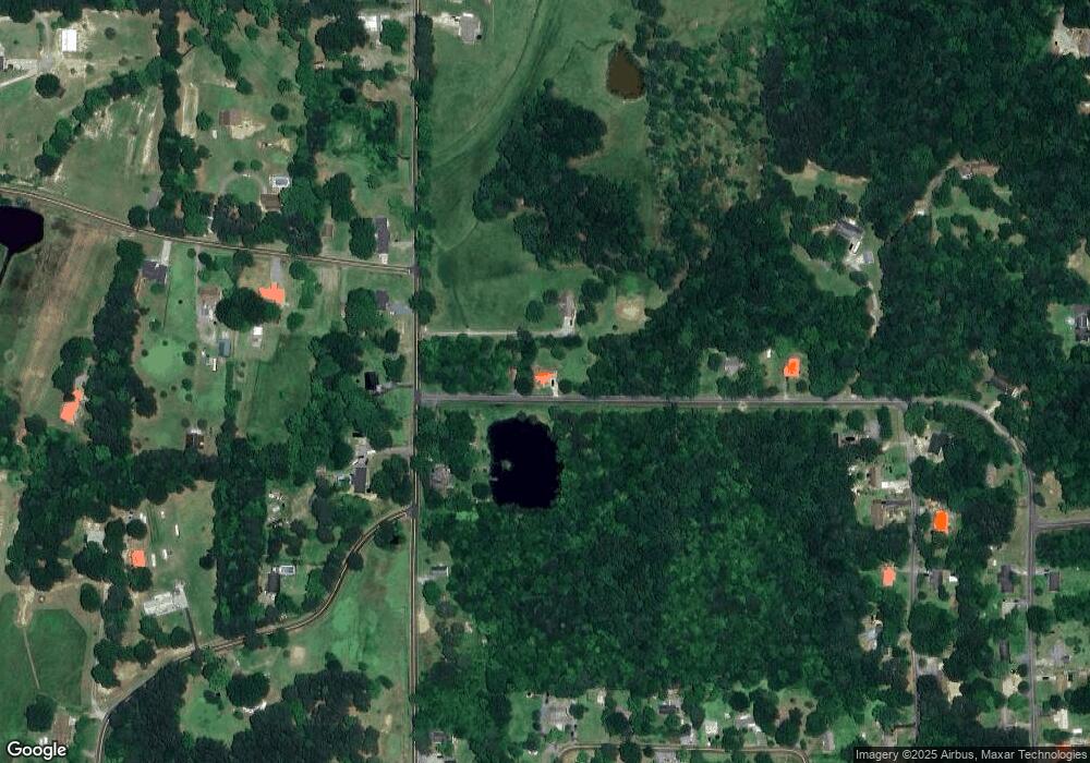
71 Cherokee Ln Chatsworth, GA 30705
Estimated Value: $242,000 - $274,000
--
Bed
2
Baths
1,564
Sq Ft
$165/Sq Ft
Est. Value
About This Home
This home is located at 71 Cherokee Ln, Chatsworth, GA 30705 and is currently estimated at $257,685, approximately $164 per square foot. 71 Cherokee Ln is a home located in Murray County with nearby schools including Coker Elementary School, Gladden Middle School, and Murray County High School.
Ownership History
Date
Name
Owned For
Owner Type
Purchase Details
Closed on
Mar 5, 2007
Sold by
Shannon David J
Bought by
Shannon David J
Current Estimated Value
Purchase Details
Closed on
Dec 6, 2000
Sold by
The Home Place Inc
Bought by
Shannon David J and Shannon P
Purchase Details
Closed on
Jun 20, 2000
Sold by
Nguyen Phuc
Bought by
The Home Place Inc
Purchase Details
Closed on
Jul 2, 1999
Sold by
Walraven Brent
Bought by
Nguyen Phuc
Purchase Details
Closed on
Dec 4, 1998
Sold by
Ray Rentals Inc
Bought by
Walraven Brent
Purchase Details
Closed on
Aug 27, 1996
Sold by
Ray Jack and Ray Michael D
Bought by
Ray Rentals Inc
Create a Home Valuation Report for This Property
The Home Valuation Report is an in-depth analysis detailing your home's value as well as a comparison with similar homes in the area
Home Values in the Area
Average Home Value in this Area
Purchase History
| Date | Buyer | Sale Price | Title Company |
|---|---|---|---|
| Shannon David J | -- | -- | |
| Shannon David J | $88,500 | -- | |
| The Home Place Inc | $101,800 | -- | |
| Nguyen Phuc | -- | -- | |
| Walraven Brent | $35,000 | -- | |
| Ray Rentals Inc | -- | -- |
Source: Public Records
Tax History Compared to Growth
Tax History
| Year | Tax Paid | Tax Assessment Tax Assessment Total Assessment is a certain percentage of the fair market value that is determined by local assessors to be the total taxable value of land and additions on the property. | Land | Improvement |
|---|---|---|---|---|
| 2024 | $2,058 | $89,520 | $2,880 | $86,640 |
| 2023 | $2,033 | $86,760 | $2,880 | $83,880 |
| 2022 | $1,748 | $74,880 | $2,880 | $72,000 |
| 2021 | $1,426 | $59,960 | $2,880 | $57,080 |
| 2020 | $1,165 | $49,360 | $2,880 | $46,480 |
| 2019 | $1,170 | $49,360 | $2,880 | $46,480 |
| 2018 | $1,117 | $47,240 | $2,880 | $44,360 |
| 2017 | $0 | $41,880 | $3,200 | $38,680 |
| 2016 | $760 | $35,480 | $3,200 | $32,280 |
| 2015 | -- | $35,480 | $3,200 | $32,280 |
| 2014 | -- | $35,480 | $3,200 | $32,280 |
| 2013 | -- | $35,480 | $3,200 | $32,280 |
Source: Public Records
Map
Nearby Homes
- 00 Sitton Rd S
- 132 Katie Ln
- 142 Sitton Rd S
- 0 Highway 52 Unit 10573726
- 0 Highway 52 Unit 1516971
- 0 Highway 52 Unit 417342
- 0 Highway 52 Unit 415667
- 278 Leonard Bridge Rd
- 357 Katie Ln
- 1489 Smyrna Church Rd
- 23 Brandon Ln
- 219 Lakeview Dr
- 222 Old Wilson Rd
- 99 Bernard St
- 115 Bradley St
- 9 Barron Ct
- 0 Hwy 411s Unit 123561
- AUBURN Plan at Urban's Place
- CABOT Plan at Urban's Place
- BEAUMONT Plan at Urban's Place
- 1064 Sitton Rd S
- 1146 Sitton Rd S
- 1091 Sitton Rd S
- 175 Cherokee Ln
- 1045 Sitton Rd S
- 1147 Sitton Rd S
- 0 Cherokee Ln
- 1198 Sitton Rd S
- 00 Cherokee Ln
- 209 Cherokee Ln
- 1240 Sitton Rd S
- 78 Parson Rd
- 1011 Sitton Rd S
- 79 Parson Rd
- 107 Baggett Rd
- 398 Oakland Cir
- 110 Parson Rd
- 243 Cherokee Ln
- 13 Mountain View Cir
- 39 Mountain View Cir
