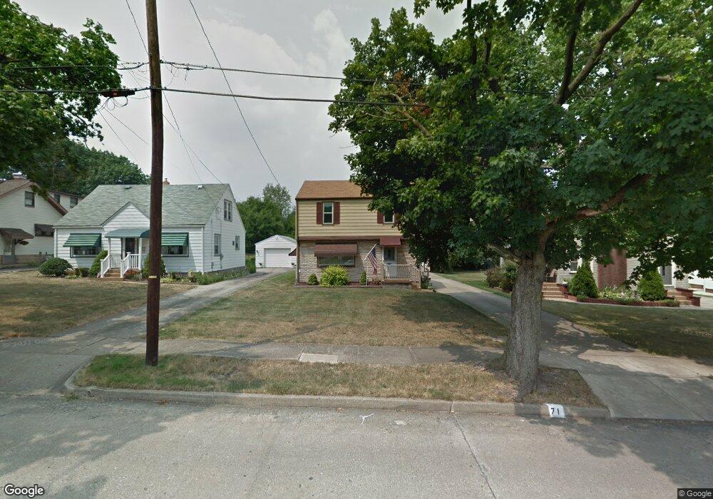
71 Como St Struthers, OH 44471
Estimated Value: $118,000 - $145,000
3
Beds
1
Bath
1,274
Sq Ft
$103/Sq Ft
Est. Value
About This Home
This home is located at 71 Como St, Struthers, OH 44471 and is currently estimated at $131,476, approximately $103 per square foot. 71 Como St is a home located in Mahoning County with nearby schools including Struthers Elementary School, Struthers Middle School, and Struthers High School.
Ownership History
Date
Name
Owned For
Owner Type
Purchase Details
Closed on
Jan 11, 2023
Bought by
Deem John R
Current Estimated Value
Home Financials for this Owner
Home Financials are based on the most recent Mortgage that was taken out on this home.
Original Mortgage
$67,500
Outstanding Balance
$65,077
Interest Rate
6.49%
Mortgage Type
New Conventional
Estimated Equity
$66,399
Purchase Details
Closed on
Aug 20, 1968
Bought by
Haas Herman R and Betty Mar
Create a Home Valuation Report for This Property
The Home Valuation Report is an in-depth analysis detailing your home's value as well as a comparison with similar homes in the area
Home Values in the Area
Average Home Value in this Area
Purchase History
| Date | Buyer | Sale Price | Title Company |
|---|---|---|---|
| Deem John R | $90,000 | -- | |
| Deem John R | $90,000 | None Listed On Document | |
| Deem John R | $90,000 | None Listed On Document | |
| Haas Herman R | -- | -- |
Source: Public Records
Mortgage History
| Date | Status | Borrower | Loan Amount |
|---|---|---|---|
| Open | Deem John R | $67,500 | |
| Closed | Deem John R | $67,500 |
Source: Public Records
Tax History
| Year | Tax Paid | Tax Assessment Tax Assessment Total Assessment is a certain percentage of the fair market value that is determined by local assessors to be the total taxable value of land and additions on the property. | Land | Improvement |
|---|---|---|---|---|
| 2025 | $1,331 | $31,270 | $3,500 | $27,770 |
| 2024 | $1,331 | $31,270 | $3,500 | $27,770 |
| 2023 | $1,309 | $31,270 | $3,500 | $27,770 |
| 2022 | $511 | $18,160 | $3,570 | $14,590 |
| 2021 | $506 | $18,160 | $3,570 | $14,590 |
| 2020 | $508 | $18,160 | $3,570 | $14,590 |
| 2019 | $422 | $15,800 | $3,110 | $12,690 |
| 2018 | $403 | $15,800 | $3,110 | $12,690 |
| 2017 | $400 | $15,800 | $3,110 | $12,690 |
| 2016 | $550 | $18,700 | $3,890 | $14,810 |
| 2015 | $537 | $18,700 | $3,890 | $14,810 |
| 2014 | $539 | $18,700 | $3,890 | $14,810 |
| 2013 | $501 | $18,700 | $3,890 | $14,810 |
Source: Public Records
Map
Nearby Homes
- 42 Wilson St
- 97 Overlook Blvd
- 143 Wilson St
- 39 Renee Dr
- 59 Harvey St
- 78 Sexton St
- 34 Iroquois St
- 284 Wilson St
- 0 Smithfield St Unit 4336782
- 531 Audrey Ln
- 0 Ridgeway St
- 795 5th St
- 265 Sexton St
- 227 Maplewood Ave
- 34 W Lewis St
- 281 Sexton St
- 0 Ridge Way Unit 5021568
- 250 E Manor Ave
- 627 Poland Ave
- 306 Maplewood Ave