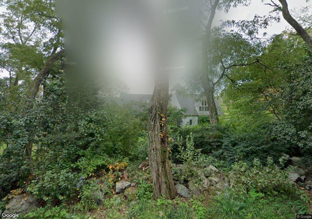
71 Conant Rd Lincoln, MA 01773
Estimated Value: $2,096,000 - $2,571,000
3
Beds
4
Baths
4,139
Sq Ft
$563/Sq Ft
Est. Value
About This Home
This home is located at 71 Conant Rd, Lincoln, MA 01773 and is currently estimated at $2,331,289, approximately $563 per square foot. 71 Conant Rd is a home located in Middlesex County with nearby schools including Lincoln-Sudbury Regional High School and The Cambridge School Of Weston.
Ownership History
Date
Name
Owned For
Owner Type
Purchase Details
Closed on
Jul 19, 1978
Bought by
Mattes Sara A and Ritz Jerome
Current Estimated Value
Create a Home Valuation Report for This Property
The Home Valuation Report is an in-depth analysis detailing your home's value as well as a comparison with similar homes in the area
Home Values in the Area
Average Home Value in this Area
Purchase History
| Date | Buyer | Sale Price | Title Company |
|---|---|---|---|
| Mattes Sara A | $52,000 | -- |
Source: Public Records
Mortgage History
| Date | Status | Borrower | Loan Amount |
|---|---|---|---|
| Open | Mattes Sara A | $100,000 | |
| Open | Mattes Sara A | $400,000 | |
| Closed | Mattes Sara A | $272,000 |
Source: Public Records
Tax History Compared to Growth
Tax History
| Year | Tax Paid | Tax Assessment Tax Assessment Total Assessment is a certain percentage of the fair market value that is determined by local assessors to be the total taxable value of land and additions on the property. | Land | Improvement |
|---|---|---|---|---|
| 2025 | $233 | $1,820,200 | $931,200 | $889,000 |
| 2024 | $23,091 | $1,791,400 | $912,700 | $878,700 |
| 2023 | $20,826 | $1,496,100 | $740,700 | $755,400 |
| 2022 | $19,657 | $1,316,600 | $685,500 | $631,100 |
| 2021 | $18,956 | $1,221,400 | $640,700 | $580,700 |
| 2020 | $18,976 | $1,235,400 | $664,700 | $570,700 |
| 2019 | $16,670 | $1,188,200 | $647,100 | $541,100 |
| 2018 | $16,160 | $1,188,200 | $647,100 | $541,100 |
| 2017 | $16,059 | $1,172,200 | $640,700 | $531,500 |
| 2016 | $15,930 | $1,138,700 | $622,300 | $516,400 |
| 2015 | $15,257 | $1,078,200 | $575,900 | $502,300 |
| 2014 | $14,427 | $1,001,200 | $536,700 | $464,500 |
Source: Public Records
Map
Nearby Homes