71 Concord Ave Prudence Island, RI 02872
Prudence Island NeighborhoodEstimated Value: $391,553 - $669,000
3
Beds
1
Bath
1,168
Sq Ft
$461/Sq Ft
Est. Value
About This Home
This home is located at 71 Concord Ave, Prudence Island, RI 02872 and is currently estimated at $538,888, approximately $461 per square foot. 71 Concord Ave is a home located in Newport County with nearby schools including Portsmouth High School.
Ownership History
Date
Name
Owned For
Owner Type
Purchase Details
Closed on
Mar 30, 2012
Sold by
Parker Thomas R Est
Bought by
Bengston Eric J and Bengston Margaret W
Current Estimated Value
Home Financials for this Owner
Home Financials are based on the most recent Mortgage that was taken out on this home.
Original Mortgage
$180,000
Interest Rate
3.88%
Mortgage Type
Adjustable Rate Mortgage/ARM
Create a Home Valuation Report for This Property
The Home Valuation Report is an in-depth analysis detailing your home's value as well as a comparison with similar homes in the area
Home Values in the Area
Average Home Value in this Area
Purchase History
| Date | Buyer | Sale Price | Title Company |
|---|---|---|---|
| Bengston Eric J | $225,000 | -- |
Source: Public Records
Mortgage History
| Date | Status | Borrower | Loan Amount |
|---|---|---|---|
| Open | Bengston Eric J | $183,200 | |
| Closed | Bengston Eric J | $180,000 |
Source: Public Records
Tax History Compared to Growth
Tax History
| Year | Tax Paid | Tax Assessment Tax Assessment Total Assessment is a certain percentage of the fair market value that is determined by local assessors to be the total taxable value of land and additions on the property. | Land | Improvement |
|---|---|---|---|---|
| 2025 | $3,370 | $253,800 | $52,900 | $200,900 |
| 2024 | $3,345 | $253,800 | $52,900 | $200,900 |
| 2023 | $3,244 | $253,800 | $52,900 | $200,900 |
| 2022 | $2,882 | $185,200 | $44,300 | $140,900 |
| 2021 | $2,835 | $185,200 | $44,300 | $140,900 |
| 2020 | $2,791 | $185,200 | $44,300 | $140,900 |
| 2019 | $3,147 | $191,900 | $48,300 | $143,600 |
| 2018 | $3,065 | $191,900 | $48,300 | $143,600 |
| 2017 | $2,959 | $191,900 | $48,300 | $143,600 |
| 2016 | $2,853 | $178,300 | $48,300 | $130,000 |
| 2015 | $2,817 | $178,300 | $48,300 | $130,000 |
| 2014 | $2,817 | $178,300 | $48,300 | $130,000 |
Source: Public Records
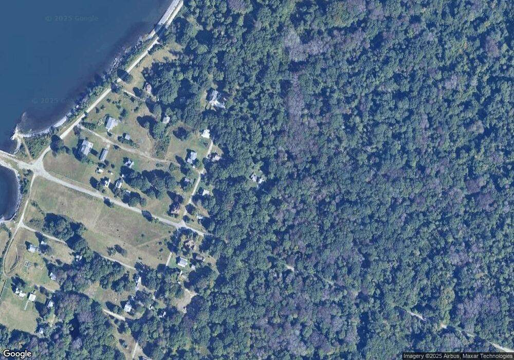
Map
Nearby Homes
- 125 Homestead Ave
- 176 Daniel Ave
- 1 Lagoon Rd Unit 145
- 37 Souza Way
- 95 Devin Dr
- 26 Westwood Dr
- 272 Carnegie Harbor Dr
- 178 Carnegie Harbor Dr
- 121 King Charles Dr
- 1 Tower Dr Unit 101
- 1 Tower Dr Unit 406
- 1 Tower Dr Unit 302
- 1 Tower Dr Unit 1802
- 1 Tower Dr Unit 1502
- 1 Tower Dr Unit 1806
- 59 Carnegie Harbor Dr
- 125 Corys Ln
- 125 Corys Ln Unit Resolute
- 4 Lookout Ln
- 4 Lookout Ln Unit 1