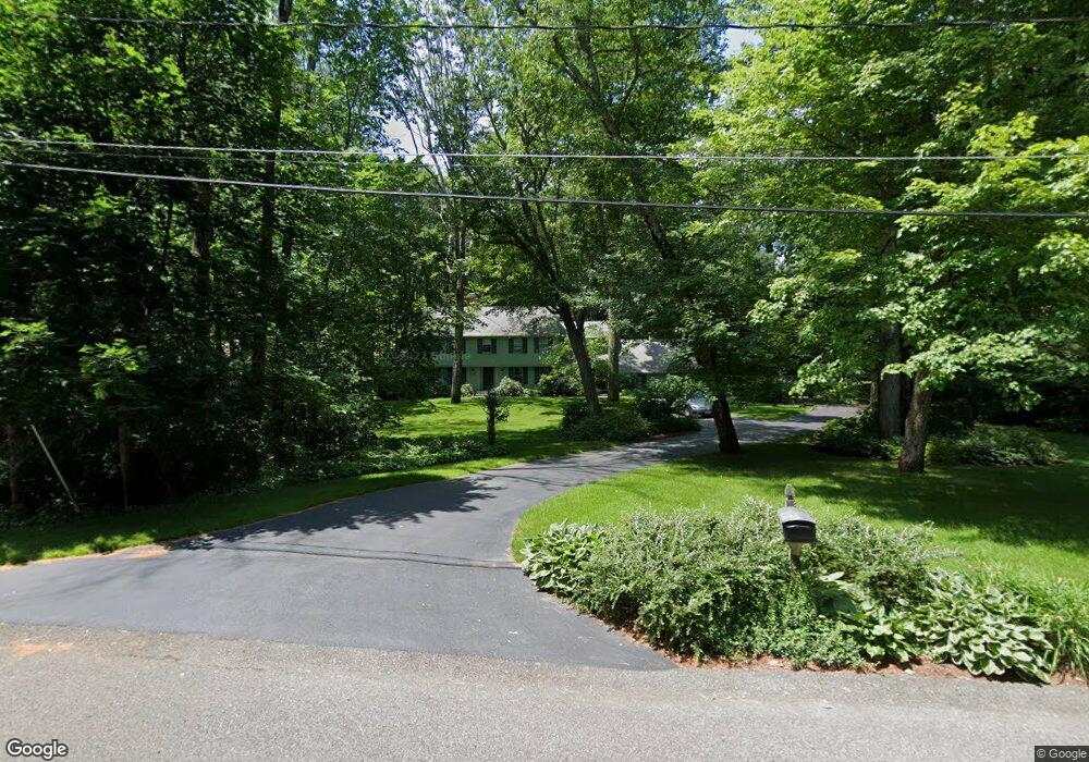
71 Country Dr Weston, MA 02493
Estimated Value: $2,168,000 - $3,061,000
5
Beds
3
Baths
2,770
Sq Ft
$890/Sq Ft
Est. Value
About This Home
This home is located at 71 Country Dr, Weston, MA 02493 and is currently estimated at $2,465,329, approximately $890 per square foot. 71 Country Dr is a home located in Middlesex County with nearby schools including Country Elementary School, Woodland Elementary School, and Field Elementary School.
Ownership History
Date
Name
Owned For
Owner Type
Purchase Details
Closed on
Dec 16, 2009
Sold by
Jacobs Anne R
Bought by
Jacobs Tr Anne R and Jacobs-Dines Karen
Current Estimated Value
Create a Home Valuation Report for This Property
The Home Valuation Report is an in-depth analysis detailing your home's value as well as a comparison with similar homes in the area
Home Values in the Area
Average Home Value in this Area
Purchase History
| Date | Buyer | Sale Price | Title Company |
|---|---|---|---|
| Jacobs Tr Anne R | -- | -- |
Source: Public Records
Tax History Compared to Growth
Tax History
| Year | Tax Paid | Tax Assessment Tax Assessment Total Assessment is a certain percentage of the fair market value that is determined by local assessors to be the total taxable value of land and additions on the property. | Land | Improvement |
|---|---|---|---|---|
| 2025 | $18,540 | $1,670,300 | $1,056,900 | $613,400 |
| 2024 | $18,271 | $1,643,100 | $1,056,900 | $586,200 |
| 2023 | $18,605 | $1,571,400 | $1,056,900 | $514,500 |
| 2022 | $18,550 | $1,448,100 | $1,008,300 | $439,800 |
| 2021 | $150 | $1,380,200 | $960,900 | $419,300 |
| 2020 | $17,347 | $1,352,100 | $960,900 | $391,200 |
| 2019 | $16,965 | $1,347,500 | $960,900 | $386,600 |
| 2018 | $16,857 | $1,347,500 | $960,900 | $386,600 |
| 2017 | $7,487 | $1,347,400 | $960,900 | $386,500 |
| 2016 | $16,384 | $1,347,400 | $960,900 | $386,500 |
| 2015 | $15,917 | $1,296,200 | $915,300 | $380,900 |
Source: Public Records
Map
Nearby Homes
- 6 Steepletree Ln
- 2 Hillside Dr
- 12 Cutting Cross Way
- 18 Coltsway Unit 18
- 16 Coltsway Unit 16CW
- 286 Country Dr
- 5 Upham Way Unit 5
- 6 Christina
- 17 Smokey Hill Rd
- 9 Christina
- 7 Fox Hollow
- 8 Fox Hollow
- 1 Astra Unit 1
- 1004 Wisteria Way
- 1601 Wisteria Way
- 8 Frost St
- 12 Astra
- 1605 Wisteria Way
- 106 Willow Brook Dr Unit 106
- 168 Beaver Rd