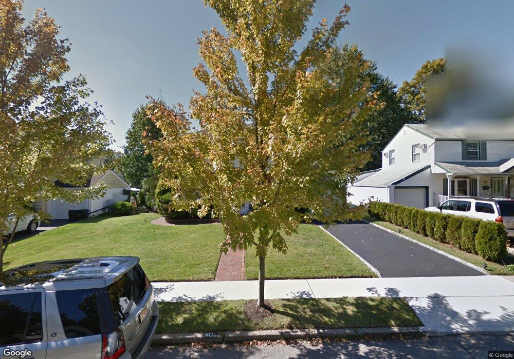
71 Crest Rd W Merrick, NY 11566
Estimated Value: $802,329 - $936,000
3
Beds
2
Baths
1,743
Sq Ft
$499/Sq Ft
Est. Value
About This Home
This home is located at 71 Crest Rd W, Merrick, NY 11566 and is currently estimated at $869,165, approximately $498 per square foot. 71 Crest Rd W is a home located in Nassau County with nearby schools including Weatherford West Elementary School, Lt. General Thomas P. Stafford Elementary School, and Grand Avenue Middle School.
Ownership History
Date
Name
Owned For
Owner Type
Purchase Details
Closed on
Jul 22, 2013
Sold by
Marr James P and Marr Jillian R
Bought by
Herschkowitz Peter and Herschkowitz Melanie
Current Estimated Value
Home Financials for this Owner
Home Financials are based on the most recent Mortgage that was taken out on this home.
Original Mortgage
$405,600
Outstanding Balance
$295,305
Interest Rate
3.95%
Mortgage Type
New Conventional
Estimated Equity
$573,860
Purchase Details
Closed on
Jun 6, 2005
Sold by
Miceli Ann
Bought by
Marr James
Create a Home Valuation Report for This Property
The Home Valuation Report is an in-depth analysis detailing your home's value as well as a comparison with similar homes in the area
Home Values in the Area
Average Home Value in this Area
Purchase History
| Date | Buyer | Sale Price | Title Company |
|---|---|---|---|
| Herschkowitz Peter | $507,000 | Old Republic National Title | |
| Marr James | $470,000 | -- |
Source: Public Records
Mortgage History
| Date | Status | Borrower | Loan Amount |
|---|---|---|---|
| Open | Herschkowitz Peter | $405,600 |
Source: Public Records
Tax History Compared to Growth
Tax History
| Year | Tax Paid | Tax Assessment Tax Assessment Total Assessment is a certain percentage of the fair market value that is determined by local assessors to be the total taxable value of land and additions on the property. | Land | Improvement |
|---|---|---|---|---|
| 2025 | $14,848 | $518 | $171 | $347 |
| 2024 | $3,604 | $500 | $165 | $335 |
| 2023 | $13,515 | $538 | $178 | $360 |
| 2022 | $13,515 | $538 | $178 | $360 |
| 2021 | $17,695 | $566 | $179 | $387 |
| 2020 | $14,126 | $765 | $678 | $87 |
| 2019 | $12,745 | $787 | $698 | $89 |
| 2018 | $12,308 | $787 | $0 | $0 |
| 2017 | $7,193 | $787 | $698 | $89 |
| 2016 | $10,847 | $699 | $698 | $1 |
| 2015 | $3,020 | $699 | $610 | $89 |
| 2014 | $3,020 | $699 | $610 | $89 |
| 2013 | $2,813 | $699 | $610 | $89 |
Source: Public Records
Map
Nearby Homes
- 843 Jerusalem Ave
- 1974 Monroe Ave
- 37 Orchard St
- 1855 Zana Ct
- 1360 Powell Ave
- 2360 Hamilton Rd
- 526 Park Ave
- 1829 Bradley Ct
- 2207 Van Nostrand Ave
- 1078 Barbara Ct
- 978 Little Whaleneck Rd
- 2245 Van Nostrand Ave
- 1745 Gerose Ct
- 2166 Isabelle Ct
- 2418 Knob Hill Dr
- 1346 Bellmore Ave
- 614 Bond Ct
- 985 Merrick Ave
- 1762 Esposito Ct
- 2001 N Jerusalem Rd