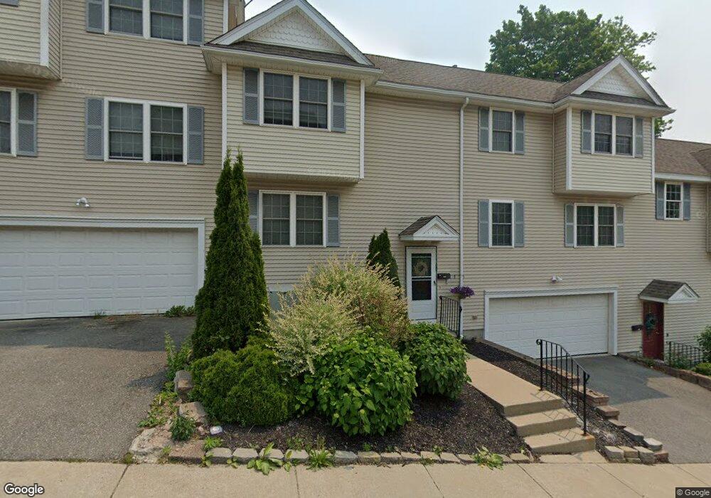
71 Dana Ave Worcester, MA 01604
Grafton Hill NeighborhoodEstimated Value: $470,604 - $506,000
3
Beds
3
Baths
1,760
Sq Ft
$275/Sq Ft
Est. Value
About This Home
This home is located at 71 Dana Ave, Worcester, MA 01604 and is currently estimated at $483,151, approximately $274 per square foot. 71 Dana Ave is a home located in Worcester County with nearby schools including Jacob Hiatt Magnet School, Chandler Magnet, and Rice Square Elementary School.
Ownership History
Date
Name
Owned For
Owner Type
Purchase Details
Closed on
Nov 8, 2021
Sold by
Gallivan Danielle M
Bought by
Penny Cara M and Meyer Stephen E
Current Estimated Value
Home Financials for this Owner
Home Financials are based on the most recent Mortgage that was taken out on this home.
Original Mortgage
$304,000
Outstanding Balance
$278,135
Interest Rate
2.88%
Mortgage Type
Purchase Money Mortgage
Estimated Equity
$205,016
Purchase Details
Closed on
Dec 22, 2017
Sold by
Romeo Elio and Ritacco Congetta S
Bought by
Gallivan Danielle M
Home Financials for this Owner
Home Financials are based on the most recent Mortgage that was taken out on this home.
Original Mortgage
$192,000
Interest Rate
3.9%
Mortgage Type
New Conventional
Purchase Details
Closed on
Jan 16, 2008
Sold by
Ritacco Congetta S and Romeo Elio
Bought by
Ritacco Congetta S and Romeo Elio
Create a Home Valuation Report for This Property
The Home Valuation Report is an in-depth analysis detailing your home's value as well as a comparison with similar homes in the area
Home Values in the Area
Average Home Value in this Area
Purchase History
| Date | Buyer | Sale Price | Title Company |
|---|---|---|---|
| Penny Cara M | $380,000 | None Available | |
| Gallivan Danielle M | $240,000 | -- | |
| Ritacco Congetta S | -- | -- |
Source: Public Records
Mortgage History
| Date | Status | Borrower | Loan Amount |
|---|---|---|---|
| Open | Penny Cara M | $304,000 | |
| Previous Owner | Gallivan Danielle M | $192,000 |
Source: Public Records
Tax History
| Year | Tax Paid | Tax Assessment Tax Assessment Total Assessment is a certain percentage of the fair market value that is determined by local assessors to be the total taxable value of land and additions on the property. | Land | Improvement |
|---|---|---|---|---|
| 2025 | $5,246 | $397,700 | $60,900 | $336,800 |
| 2024 | $4,978 | $362,000 | $60,900 | $301,100 |
| 2023 | $4,805 | $335,100 | $53,000 | $282,100 |
| 2022 | $4,409 | $289,900 | $42,400 | $247,500 |
| 2021 | $4,453 | $273,500 | $33,900 | $239,600 |
| 2020 | $4,354 | $256,100 | $33,900 | $222,200 |
| 2019 | $4,196 | $233,100 | $30,500 | $202,600 |
| 2018 | $4,181 | $221,100 | $30,500 | $190,600 |
| 2017 | $3,925 | $204,200 | $30,500 | $173,700 |
| 2016 | $3,990 | $193,600 | $23,600 | $170,000 |
| 2015 | $3,886 | $193,600 | $23,600 | $170,000 |
| 2014 | $3,783 | $193,600 | $23,600 | $170,000 |
Source: Public Records
Map
Nearby Homes
- 80 Delmont Ave
- 155 Hamilton St Unit 4
- 143 Dorcester
- 68 Dartmouth St
- 103 Hamilton St
- 34 Robin Rd
- 24 Ingleside Ave
- 360 Hamilton St
- 429 Grafton St Unit 2
- 16 Arborwood Dr
- 83 Massasoit Rd
- 10 County St
- 15 Houghton St Unit 9
- Lot B Crawford St
- 19 Middlesex Ave
- 21 Middlesex Ave Unit 102
- 115 Orient St
- 12 Benham St
- 5 Everton Ave
- 57 Cutler St
- 73 Dana Ave
- 69 Dana Ave
- 69 Dana Ave Unit 1
- 69 Dana Ave Unit 69
- 200 Hamilton St
- 194 Hamilton St Unit Hamilton
- 75 Dana Ave
- 74 Dana Ave
- 206 Hamilton St
- 14 Warner Ave
- 186 Hamilton St
- 76 Dana Ave
- 2 Warner Ave
- 80 Dana Ave
- 199 Hamilton St
- 9 17 Farrar Ave Unit 17
- 203 Hamilton St
- 82 Dana Ave
- 182 Hamilton St
- 214 Hamilton St
Your Personal Tour Guide
Ask me questions while you tour the home.