71 Douglass Ave Bernardsville, NJ 07924
Estimated Value: $1,136,000 - $2,632,000
--
Bed
--
Bath
4,023
Sq Ft
$409/Sq Ft
Est. Value
About This Home
This home is located at 71 Douglass Ave, Bernardsville, NJ 07924 and is currently estimated at $1,646,108, approximately $409 per square foot. 71 Douglass Ave is a home located in Somerset County with nearby schools including Bernardsville Middle School, Bernards High School, and Far Hills Country Day School.
Ownership History
Date
Name
Owned For
Owner Type
Purchase Details
Closed on
Apr 2, 1999
Sold by
Harper William
Bought by
Greenbaum Dave and Greenbaum Ellen
Current Estimated Value
Home Financials for this Owner
Home Financials are based on the most recent Mortgage that was taken out on this home.
Original Mortgage
$857,500
Outstanding Balance
$213,344
Interest Rate
6.83%
Estimated Equity
$1,432,764
Purchase Details
Closed on
Aug 28, 1989
Sold by
Patyk Daniel and Patyk Phyllis
Bought by
Harper William and Harper Alice
Create a Home Valuation Report for This Property
The Home Valuation Report is an in-depth analysis detailing your home's value as well as a comparison with similar homes in the area
Home Values in the Area
Average Home Value in this Area
Purchase History
| Date | Buyer | Sale Price | Title Company |
|---|---|---|---|
| Greenbaum Dave | $1,225,000 | -- | |
| Harper William | $908,500 | -- |
Source: Public Records
Mortgage History
| Date | Status | Borrower | Loan Amount |
|---|---|---|---|
| Open | Greenbaum Dave | $857,500 |
Source: Public Records
Tax History Compared to Growth
Tax History
| Year | Tax Paid | Tax Assessment Tax Assessment Total Assessment is a certain percentage of the fair market value that is determined by local assessors to be the total taxable value of land and additions on the property. | Land | Improvement |
|---|---|---|---|---|
| 2025 | $23,450 | $1,309,300 | $666,800 | $642,500 |
| 2024 | $23,450 | $1,199,500 | $611,900 | $587,600 |
| 2023 | $23,007 | $1,145,200 | $587,900 | $557,300 |
| 2022 | $22,725 | $1,105,300 | $565,300 | $540,000 |
| 2021 | $21,736 | $1,083,700 | $565,300 | $518,400 |
| 2020 | $22,723 | $1,080,000 | $584,300 | $495,700 |
| 2019 | $24,238 | $1,189,300 | $615,000 | $574,300 |
| 2018 | $24,633 | $1,237,200 | $665,000 | $572,200 |
| 2017 | $25,026 | $1,298,700 | $665,000 | $633,700 |
| 2016 | $26,097 | $1,391,100 | $665,000 | $726,100 |
| 2015 | $25,830 | $1,406,100 | $665,000 | $741,100 |
| 2014 | $25,293 | $1,382,900 | $665,000 | $717,900 |
Source: Public Records
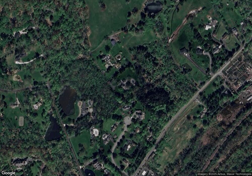
Map
Nearby Homes
- 496 Mine Brook Rd
- 453 Mine Brook Rd
- 570 Mine Brook Rd
- 23 Charlotte Hill Dr
- 71 Mount Harmony Rd
- 211 Private Rd
- 136 2 Mount Harmony Rd
- 19 Emily Rd
- 101 Rippling Brook Way
- 20 Whitaker Ln
- 50 Hidden Valley Rd
- 365 Mine Brook Rd
- 51 Boulderwood Dr
- 92 Whitenack Rd
- 149 Overleigh Rd
- 0 Private Rd Unit 3966400
- 6 Polo Club Rd
- 12 Wayne Terrace
- 10 Hurlingham Club Rd
- 12 Hurlingham Club Rd
- 36 Southfield Dr
- 75 Douglass Ave
- 38 Southfield Dr
- 30 Southfield Dr
- 53 Douglass Ave
- 27 Southfield Dr
- 457 Mine Brook Rd
- 503 Mine Brook Rd
- 41 Douglass Ave
- 20 Southfield Dr
- 13 Southfield Dr
- 21 Southfield Dr
- 469 Mine Brook Rd
- 526 Mine Brook Rd
- 7 Southfield Dr
- 467 Mine Brook Rd
- 29 Douglass Ave
- 470 Mine Brook Rd
- 6 Pickle Brook Rd
- 247 Douglass Ave