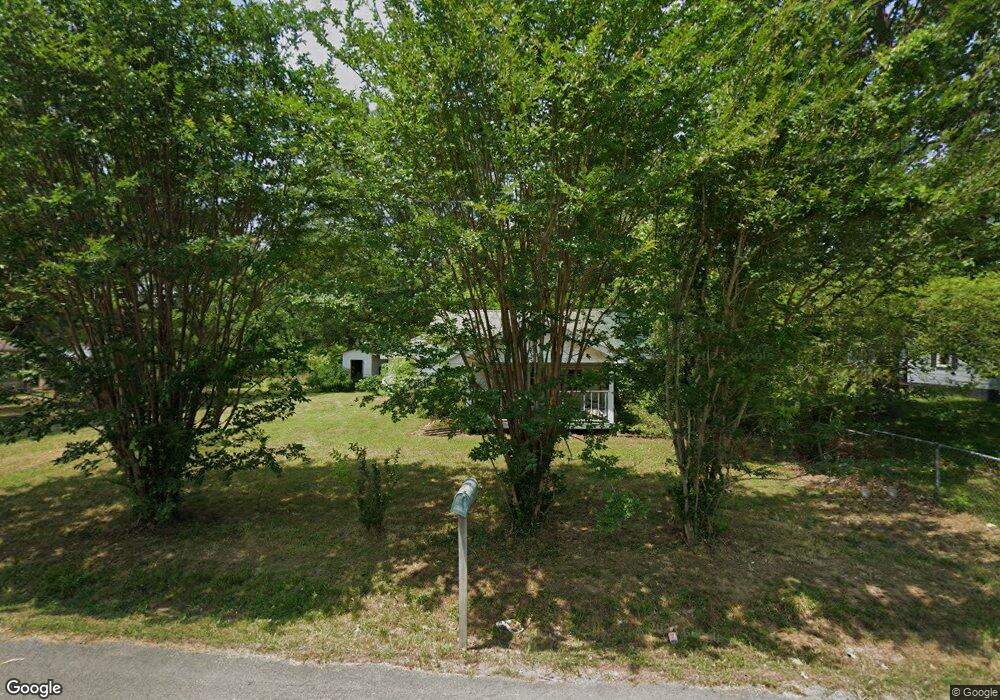
71 E Turnipseed Rd Rock Spring, GA 30739
Rock Spring NeighborhoodEstimated Value: $123,305 - $259,000
Studio
1
Bath
1,312
Sq Ft
$144/Sq Ft
Est. Value
About This Home
This home is located at 71 E Turnipseed Rd, Rock Spring, GA 30739 and is currently estimated at $188,326, approximately $143 per square foot. 71 E Turnipseed Rd is a home located in Walker County with nearby schools including Lafayette High School, Oakwood Christian Academy, and Alice M Daley Adventist School.
Ownership History
Date
Name
Owned For
Owner Type
Purchase Details
Closed on
Feb 7, 2024
Sold by
Gearrin Michael L
Bought by
Boulware Angela Denise
Current Estimated Value
Purchase Details
Closed on
May 20, 2004
Sold by
Boulware Anita F
Bought by
Gearrin Michael L and Gearrin Anita F
Purchase Details
Closed on
Jan 28, 1997
Sold by
Kay R C
Bought by
Boulware Anita F
Purchase Details
Closed on
Jan 1, 1972
Bought by
Kay R C
Create a Home Valuation Report for This Property
The Home Valuation Report is an in-depth analysis detailing your home's value as well as a comparison with similar homes in the area
Home Values in the Area
Average Home Value in this Area
Purchase History
| Date | Buyer | Sale Price | Title Company |
|---|---|---|---|
| Boulware Angela Denise | -- | -- | |
| Gearrin Michael L | -- | -- | |
| Boulware Anita F | -- | -- | |
| Kay R C | -- | -- |
Source: Public Records
Tax History
| Year | Tax Paid | Tax Assessment Tax Assessment Total Assessment is a certain percentage of the fair market value that is determined by local assessors to be the total taxable value of land and additions on the property. | Land | Improvement |
|---|---|---|---|---|
| 2024 | $608 | $23,507 | $8,859 | $14,648 |
| 2023 | $1,037 | $43,140 | $7,031 | $36,109 |
| 2022 | $1,228 | $48,454 | $5,813 | $42,641 |
| 2021 | $968 | $33,684 | $5,813 | $27,871 |
| 2020 | $858 | $28,310 | $5,813 | $22,497 |
| 2019 | $873 | $28,310 | $5,813 | $22,497 |
| 2018 | $749 | $28,310 | $5,813 | $22,497 |
| 2017 | $950 | $28,310 | $5,813 | $22,497 |
| 2016 | $823 | $28,310 | $5,813 | $22,497 |
| 2015 | $581 | $17,312 | $6,772 | $10,540 |
| 2014 | $502 | $17,312 | $6,772 | $10,540 |
| 2013 | -- | $17,311 | $6,772 | $10,539 |
Source: Public Records
Map
Nearby Homes
- 1121 Arnold Rd
- 918 Old Lafayette Rd
- 42 Hope Dr
- 788 Long Hollow Rd
- 190 Vaughn Dr
- 200 Hunting Ridge Cir
- 195 Honeysuckle Dr
- 140 Fieldstone Commons
- 124 Fieldstone Commons
- 1902 Long Hollow Rd
- 514 Ginger Lake Dr
- 136 Ginger Lake Dr
- 28 Cobblestone Trail
- 36 Pheonix Cir
- 269 Quartz Dr
- 283 Quartz Dr
- 149 Stone Throw Ln
- 135 Stone Throw Ln
- 223 Cooper Rd
- 74 Sycamore Dr
- 99 E Turnipseed Rd
- 41 E Turnipseed Rd
- 66 E Turnipseed Rd
- 129 E Turnipseed Rd
- 161 E Turnipseed Rd
- 27 N Highway Hwy
- 9458 Us Highway 27
- 9458 N Highway 27
- 193 E Turnipseed Rd
- 9 W Turnipseed Rd
- 9334 N Highway 27
- 9490 N Highway 27
- 9522 N Highway 27
- 9522 N Highway 27
- 226 E Turnipseed Rd
- 9270 Us Highway 27
- 9246 N Highway 27
- 9558 N Highway 27
- 229 E Turnipseed Rd
- 9558 U S 27