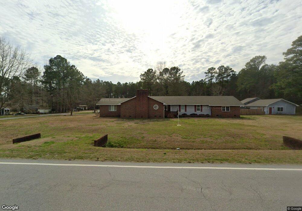
71 Eighth St Maysville, NC 28555
Estimated Value: $341,000 - $451,000
4
Beds
3
Baths
3,100
Sq Ft
$128/Sq Ft
Est. Value
About This Home
This home is located at 71 Eighth St, Maysville, NC 28555 and is currently estimated at $396,674, approximately $127 per square foot. 71 Eighth St is a home located in Jones County with nearby schools including Jones Senior High School.
Ownership History
Date
Name
Owned For
Owner Type
Purchase Details
Closed on
Sep 28, 2006
Sold by
Wood Elizabeth A
Bought by
Lincoln Michael
Current Estimated Value
Home Financials for this Owner
Home Financials are based on the most recent Mortgage that was taken out on this home.
Original Mortgage
$216,000
Outstanding Balance
$128,178
Interest Rate
6.36%
Mortgage Type
New Conventional
Estimated Equity
$268,496
Purchase Details
Closed on
May 31, 2006
Sold by
Wood Elizabeth A
Bought by
Lincoln Michael
Purchase Details
Closed on
Apr 22, 2005
Sold by
Wood John
Bought by
Tipton Elizabeth A
Create a Home Valuation Report for This Property
The Home Valuation Report is an in-depth analysis detailing your home's value as well as a comparison with similar homes in the area
Home Values in the Area
Average Home Value in this Area
Purchase History
| Date | Buyer | Sale Price | Title Company |
|---|---|---|---|
| Lincoln Michael | $24,000 | None Available | |
| Lincoln Michael | -- | None Available | |
| Tipton Elizabeth A | -- | None Available |
Source: Public Records
Mortgage History
| Date | Status | Borrower | Loan Amount |
|---|---|---|---|
| Open | Lincoln Michael | $216,000 |
Source: Public Records
Tax History Compared to Growth
Tax History
| Year | Tax Paid | Tax Assessment Tax Assessment Total Assessment is a certain percentage of the fair market value that is determined by local assessors to be the total taxable value of land and additions on the property. | Land | Improvement |
|---|---|---|---|---|
| 2025 | $3,105 | $297,940 | $0 | $0 |
| 2023 | $3,105 | $297,940 | $0 | $0 |
| 2022 | $2,952 | $297,940 | $0 | $0 |
| 2021 | $2,448 | $233,446 | $0 | $0 |
| 2020 | $2,495 | $233,446 | $0 | $0 |
| 2019 | $2,542 | $233,446 | $20,030 | $213,416 |
| 2018 | $2,558 | $233,446 | $20,030 | $213,416 |
| 2017 | $2,588 | $233,446 | $20,030 | $213,416 |
| 2016 | $2,954 | $232,606 | $20,030 | $212,576 |
| 2015 | -- | $232,606 | $0 | $0 |
| 2014 | -- | $232,606 | $0 | $0 |
Source: Public Records
Map
Nearby Homes
- 902 Main St
- 810 Main St
- 1148 Main St
- 0 Highway 17
- 412 Mattocks Ave
- 606 Jenkins Ave
- 705 6th St
- 0 Jenkins Ave
- 00 Jenkins Ave
- 302 Mattocks Ave
- 117 Jenkins Ave
- 2ac U S 17
- 111 Indigo Dr
- 107 Indigo Dr
- 29ac New Bern
- 2803 Belgrade-Swansboro Rd
- 106 Croaker Ln
- 1304 White Oak River Rd
- 137 Corena Ave
- 2769 Belgrade-Swansboro Rd