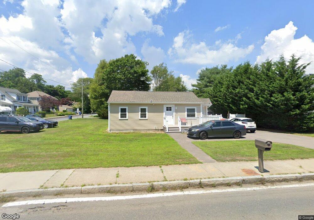
71 Fairhaven Rd Mattapoisett, MA 02739
2
Beds
1
Bath
804
Sq Ft
8,712
Sq Ft Lot
About This Home
This home is located at 71 Fairhaven Rd, Mattapoisett, MA 02739. 71 Fairhaven Rd is a home located in Plymouth County with nearby schools including Center School, Old Hammondtown Elementary, and Old Rochester Regional High School.
Ownership History
Date
Name
Owned For
Owner Type
Purchase Details
Closed on
Dec 31, 1998
Sold by
Aames Capital Corp
Bought by
Better Community Livin
Purchase Details
Closed on
Aug 20, 1997
Sold by
Sylvia David
Bought by
Aames Capital Corp
Purchase Details
Closed on
Aug 22, 1994
Sold by
Ocean St Inc
Bought by
Kane Deborah J
Create a Home Valuation Report for This Property
The Home Valuation Report is an in-depth analysis detailing your home's value as well as a comparison with similar homes in the area
Home Values in the Area
Average Home Value in this Area
Purchase History
| Date | Buyer | Sale Price | Title Company |
|---|---|---|---|
| Better Community Livin | $43,700 | -- | |
| Better Community Livin | $43,700 | -- | |
| Aames Capital Corp | $58,302 | -- | |
| Aames Capital Corp | $58,302 | -- | |
| Kane Deborah J | $79,900 | -- | |
| Kane Deborah J | $79,900 | -- |
Source: Public Records
Mortgage History
| Date | Status | Borrower | Loan Amount |
|---|---|---|---|
| Open | Kane Deborah J | $97,000 | |
| Open | Kane Deborah J | $150,000 |
Source: Public Records
Tax History Compared to Growth
Tax History
| Year | Tax Paid | Tax Assessment Tax Assessment Total Assessment is a certain percentage of the fair market value that is determined by local assessors to be the total taxable value of land and additions on the property. | Land | Improvement |
|---|---|---|---|---|
| 2025 | -- | $320,300 | $128,700 | $191,600 |
| 2024 | -- | $319,200 | $128,700 | $190,500 |
| 2023 | $0 | $290,400 | $114,900 | $175,500 |
| 2022 | $0 | $257,500 | $95,800 | $161,700 |
| 2021 | $0 | $113,200 | $76,600 | $36,600 |
| 2020 | $0 | $153,700 | $72,900 | $80,800 |
| 2019 | $0 | $138,300 | $60,800 | $77,500 |
| 2018 | $0 | $154,800 | $69,900 | $84,900 |
| 2017 | $0 | $160,300 | $80,700 | $79,600 |
| 2016 | -- | $167,600 | $91,400 | $76,200 |
| 2015 | -- | $152,700 | $86,100 | $66,600 |
| 2014 | -- | $154,700 | $86,100 | $68,600 |
Source: Public Records
Map
Nearby Homes
- 83 Fairhaven Rd
- 47 Fairhaven Rd
- 3 Brandt Island Rd
- 0 Whalers Way
- 421 Huttleston Ave
- 7 Pearl St
- 20 Forestview Dr
- 9 Hitching Post Rd
- 12 Cannon St
- 13 Park Place
- 35 North St
- 1 Starboard Way
- 41 Starboard Way
- 8 Captains Ln
- 11 Captains Ln
- 0 Harbor Acres Ln - Lot B
- 6 Meadowbrook Ln
- 52 Prince Snow Cir
- 15 Ned's Point Rd
- 0 Marina Dr Unit 72497908
- 69 Fairhaven Rd
- 73 Fairhaven Rd Unit 75
- 73-75 Fairhaven Rd
- 6 Shaw St
- 3 Shaw St
- 5 Shaw St
- 72 Fairhaven Rd Unit 78
- 76 Fairhaven Rd
- 76 Fairhaven Rd Unit 76
- 76 Fairhaven Rd Unit 1
- 74 Fairhaven Rd Unit 74
- 8 Shaw St
- 78 Fairhaven Rd Unit 1
- 78 Fairhaven Rd
- 78 Fairhaven Rd Unit 78
- 4 Parker St
- 65 Fairhaven Rd
- 64 Fairhaven Rd
- 7 Shaw St
- 10 Shaw St