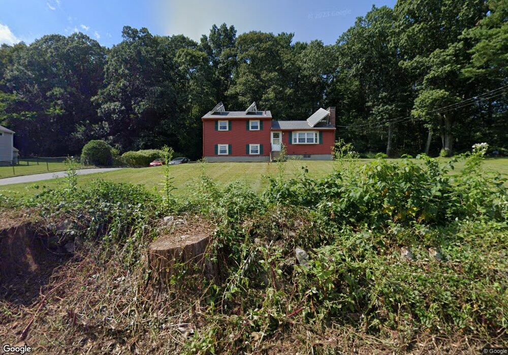
71 Flagg Rd Southborough, MA 01772
Estimated Value: $602,000 - $733,000
3
Beds
2
Baths
1,196
Sq Ft
$539/Sq Ft
Est. Value
About This Home
This home is located at 71 Flagg Rd, Southborough, MA 01772 and is currently estimated at $645,238, approximately $539 per square foot. 71 Flagg Rd is a home located in Worcester County with nearby schools including Mary E Finn School, Margaret A. Neary School, and Albert S. Woodward Memorial School.
Create a Home Valuation Report for This Property
The Home Valuation Report is an in-depth analysis detailing your home's value as well as a comparison with similar homes in the area
Home Values in the Area
Average Home Value in this Area
Tax History
| Year | Tax Paid | Tax Assessment Tax Assessment Total Assessment is a certain percentage of the fair market value that is determined by local assessors to be the total taxable value of land and additions on the property. | Land | Improvement |
|---|---|---|---|---|
| 2025 | $7,872 | $570,000 | $301,200 | $268,800 |
| 2024 | $7,893 | $567,400 | $301,200 | $266,200 |
| 2023 | $7,728 | $523,600 | $288,600 | $235,000 |
| 2022 | $7,280 | $447,200 | $251,100 | $196,100 |
| 2021 | $3,757 | $427,900 | $231,000 | $196,900 |
| 2020 | $6,766 | $406,100 | $223,100 | $183,000 |
| 2019 | $6,529 | $390,000 | $217,700 | $172,300 |
| 2018 | $6,514 | $373,200 | $210,800 | $162,400 |
| 2017 | $6,092 | $371,900 | $210,800 | $161,100 |
| 2016 | $5,409 | $341,900 | $200,800 | $141,100 |
| 2015 | $5,384 | $336,100 | $186,000 | $150,100 |
Source: Public Records
Map
Nearby Homes
- 14 Lovers Ln
- 122 Deerfoot Rd
- 6 Lynbrook Rd
- 8 Leeds Way
- 6 Crestview Dr
- 3 Foxhill Dr
- 12 Wyndemere Dr
- 2 Lyons St
- 44 Gilmore Rd
- 39 Meeting House Ln
- 188 Parkerville Rd
- 17 Jacob Amsden Rd
- 32 Sears Rd
- 4 Dairy Farm Ln
- 4 Gale Meadow Way
- 229 Parkerville Rd
- 56 Sears Rd
- 35 Glen Ct
- 9A Ashley Rd
- 217 Cordaville Rd
Your Personal Tour Guide
Ask me questions while you tour the home.