71 Flint Rd Concord, MA 01742
Estimated Value: $4,527,139 - $5,940,000
5
Beds
7
Baths
9,500
Sq Ft
$545/Sq Ft
Est. Value
About This Home
This home is located at 71 Flint Rd, Concord, MA 01742 and is currently estimated at $5,180,046, approximately $545 per square foot. 71 Flint Rd is a home located in Middlesex County with nearby schools including Alcott Elementary School, Concord Middle School, and Concord Carlisle High School.
Ownership History
Date
Name
Owned For
Owner Type
Purchase Details
Closed on
Apr 28, 2011
Sold by
Nadja Renee A
Bought by
Concord Town Of
Current Estimated Value
Create a Home Valuation Report for This Property
The Home Valuation Report is an in-depth analysis detailing your home's value as well as a comparison with similar homes in the area
Home Values in the Area
Average Home Value in this Area
Purchase History
| Date | Buyer | Sale Price | Title Company |
|---|---|---|---|
| Concord Town Of | -- | -- |
Source: Public Records
Tax History
| Year | Tax Paid | Tax Assessment Tax Assessment Total Assessment is a certain percentage of the fair market value that is determined by local assessors to be the total taxable value of land and additions on the property. | Land | Improvement |
|---|---|---|---|---|
| 2025 | $734 | $5,533,600 | $1,434,000 | $4,099,600 |
| 2024 | $73,263 | $5,579,800 | $1,434,000 | $4,145,800 |
| 2023 | $56,082 | $4,327,300 | $1,081,300 | $3,246,000 |
| 2022 | $54,286 | $3,677,900 | $881,900 | $2,796,000 |
| 2021 | $61,107 | $4,151,300 | $1,102,400 | $3,048,900 |
| 2020 | $61,851 | $4,346,500 | $1,165,300 | $3,181,200 |
| 2019 | $61,297 | $4,319,700 | $1,164,900 | $3,154,800 |
| 2018 | $58,973 | $4,126,900 | $1,114,700 | $3,012,200 |
| 2017 | $59,071 | $4,198,400 | $1,084,300 | $3,114,100 |
| 2016 | $63,353 | $4,551,200 | $1,201,700 | $3,349,500 |
| 2015 | $65,187 | $4,561,700 | $1,170,600 | $3,391,100 |
Source: Public Records
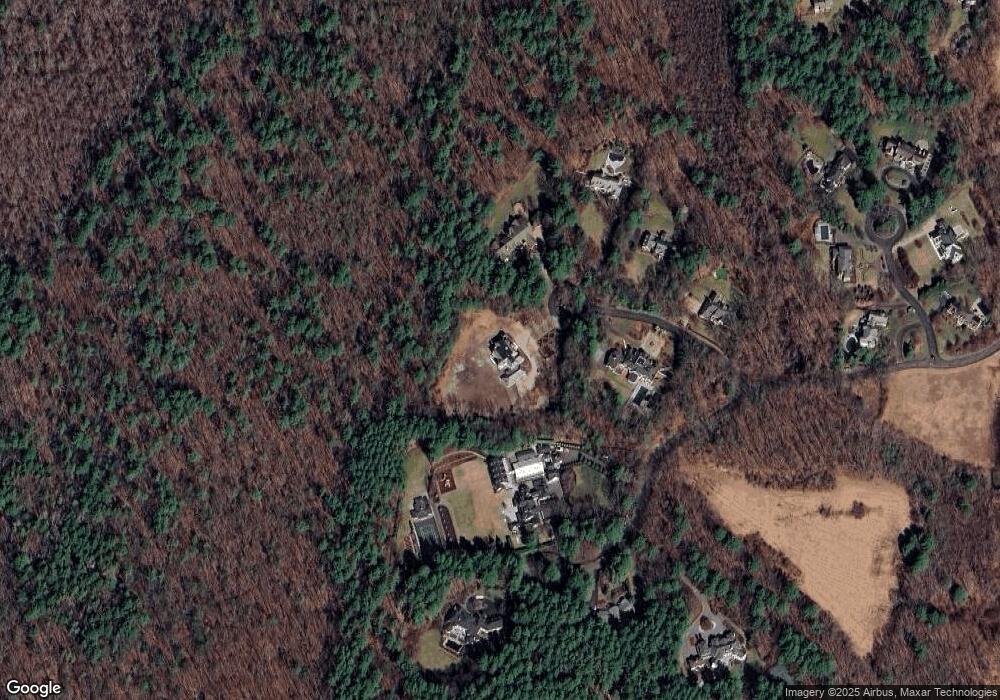
Map
Nearby Homes
- 210 Monument Farm Rd
- 1437-3 Monument St
- 1409 Monument St
- 389 River Rd
- 495 Hugh Cargill Rd
- 125 Maple St
- 1 Hillcrest Rd
- 1 Glenridge Dr
- 107 Westford Rd
- 389 Concord Rd
- 45 Winterberry Way
- 25 Glenridge Dr
- 7 Blue Heron Way
- 6 Parker Rd
- 84 Craigie Cir
- 28 Hatch Farm Ln
- 22 Hatch Farm Ln
- 10 Hatch Farm Ln
- 16 Hatch Farm Ln
- 110 Spencer Brook Rd
- 10 Flint Rd 10a
- 64 Flint Rd
- 35 Flint Rd
- 40 Flint Rd
- 62 Flint Rd
- 20 Flint Rd
- 15 Monument Farm Rd #18
- 193 Monument Farm Rd
- 215 Monument Farm Rd
- 35 Jonas Brown Cir
- 15 Monument Farm Rd
- 15B Monument Farm Rd
- 84 Monument Farm Rd
- 84 Monument Farm Rd Unit 84
- 84 Monument Farm Rd Unit 1
- 86 Monument Farm Rd
- 175 Monument Farm Rd
- 43 Jonas Brown Cir
- 30 Jonas Brown Cir
- 48 Jonas Brown Cir
Your Personal Tour Guide
Ask me questions while you tour the home.