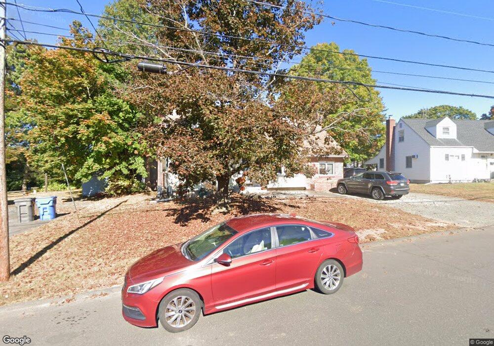
71 French St Bristol, CT 06010
Forestville NeighborhoodEstimated Value: $326,000 - $352,000
3
Beds
1
Bath
1,628
Sq Ft
$210/Sq Ft
Est. Value
About This Home
This home is located at 71 French St, Bristol, CT 06010 and is currently estimated at $341,761, approximately $209 per square foot. 71 French St is a home located in Hartford County with nearby schools including Northeast Middle School, Bristol Eastern High School, and St Matthew School.
Ownership History
Date
Name
Owned For
Owner Type
Purchase Details
Closed on
May 21, 1993
Sold by
Cooper Sherman
Bought by
Jones Richard G and Jones Michele
Current Estimated Value
Home Financials for this Owner
Home Financials are based on the most recent Mortgage that was taken out on this home.
Original Mortgage
$104,000
Interest Rate
7.54%
Mortgage Type
Unknown
Purchase Details
Closed on
Jan 26, 1993
Sold by
Bouchard Stanley J and Feldman Cm Samuel B
Bought by
Fairbanks Mtg Co
Create a Home Valuation Report for This Property
The Home Valuation Report is an in-depth analysis detailing your home's value as well as a comparison with similar homes in the area
Home Values in the Area
Average Home Value in this Area
Purchase History
| Date | Buyer | Sale Price | Title Company |
|---|---|---|---|
| Jones Richard G | $124,000 | -- | |
| Fairbanks Mtg Co | $72,000 | -- |
Source: Public Records
Mortgage History
| Date | Status | Borrower | Loan Amount |
|---|---|---|---|
| Open | Fairbanks Mtg Co | $151,965 | |
| Closed | Fairbanks Mtg Co | $167,000 | |
| Closed | Fairbanks Mtg Co | $104,000 | |
| Previous Owner | Fairbanks Mtg Co | $49,000 |
Source: Public Records
Tax History Compared to Growth
Tax History
| Year | Tax Paid | Tax Assessment Tax Assessment Total Assessment is a certain percentage of the fair market value that is determined by local assessors to be the total taxable value of land and additions on the property. | Land | Improvement |
|---|---|---|---|---|
| 2025 | $6,398 | $189,560 | $39,480 | $150,080 |
| 2024 | $6,017 | $188,930 | $39,480 | $149,450 |
| 2023 | $5,734 | $188,930 | $39,480 | $149,450 |
| 2022 | $5,213 | $135,940 | $32,060 | $103,880 |
| 2021 | $5,213 | $135,940 | $32,060 | $103,880 |
| 2020 | $5,213 | $135,940 | $32,060 | $103,880 |
| 2019 | $5,173 | $135,940 | $32,060 | $103,880 |
| 2018 | $5,013 | $135,940 | $32,060 | $103,880 |
| 2017 | $4,895 | $135,870 | $39,830 | $96,040 |
| 2016 | $4,895 | $135,870 | $39,830 | $96,040 |
| 2015 | $4,702 | $135,870 | $39,830 | $96,040 |
| 2014 | $4,702 | $135,870 | $39,830 | $96,040 |
Source: Public Records
Map
Nearby Homes
- 44 Cabot St
- 245 Mark St
- 73 Grove Ave
- 12 Currey Ct
- 43 Hiltbrand Rd Unit 2-11
- 302 Brook St
- 58 Matilda Dr
- 0 Overlook Dr Unit Lot 4 24092448
- 0 Overlook Dr Unit Lot 3 24092446
- 42 Sandy Dr
- 35 Buckley Ave
- 46 Pleasant Ave
- 18 Timber Hill Rd
- 90 Boardman St Unit A2
- 3 Bushel Rd Unit 3
- 109 Glenwood Dr
- 23 Junior Rd
- 336 Washington St
- 1469 Farmington Ave Unit 17
- 5 Peach Orchard Hill