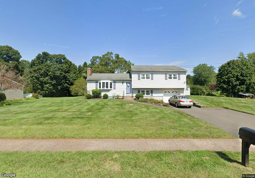
71 Harness Dr Southington, CT 06489
East Southington NeighborhoodEstimated Value: $410,000 - $969,000
3
Beds
2
Baths
1,278
Sq Ft
$523/Sq Ft
Est. Value
About This Home
This home is located at 71 Harness Dr, Southington, CT 06489 and is currently estimated at $668,483, approximately $523 per square foot. 71 Harness Dr is a home located in Hartford County with nearby schools including Reuben E. Thalberg Elementary School, Joseph A. Depaolo Middle School, and Southington High School.
Ownership History
Date
Name
Owned For
Owner Type
Purchase Details
Closed on
Jun 24, 2024
Sold by
Kopp Daniel L and Kopp Shannon E
Bought by
Roy Jessica and Roy Jeremy
Current Estimated Value
Home Financials for this Owner
Home Financials are based on the most recent Mortgage that was taken out on this home.
Original Mortgage
$720,000
Outstanding Balance
$710,812
Interest Rate
7.02%
Mortgage Type
Purchase Money Mortgage
Estimated Equity
-$42,329
Create a Home Valuation Report for This Property
The Home Valuation Report is an in-depth analysis detailing your home's value as well as a comparison with similar homes in the area
Home Values in the Area
Average Home Value in this Area
Purchase History
| Date | Buyer | Sale Price | Title Company |
|---|---|---|---|
| Roy Jessica | $900,000 | None Available | |
| Roy Jessica | $900,000 | None Available |
Source: Public Records
Mortgage History
| Date | Status | Borrower | Loan Amount |
|---|---|---|---|
| Open | Roy Jessica | $720,000 | |
| Closed | Roy Jessica | $720,000 |
Source: Public Records
Tax History Compared to Growth
Tax History
| Year | Tax Paid | Tax Assessment Tax Assessment Total Assessment is a certain percentage of the fair market value that is determined by local assessors to be the total taxable value of land and additions on the property. | Land | Improvement |
|---|---|---|---|---|
| 2025 | $6,188 | $186,340 | $66,900 | $119,440 |
| 2024 | $5,859 | $186,340 | $66,900 | $119,440 |
| 2023 | $5,657 | $186,340 | $66,900 | $119,440 |
| 2022 | $5,428 | $186,340 | $66,900 | $119,440 |
| 2021 | $5,409 | $186,340 | $66,900 | $119,440 |
| 2020 | $5,427 | $177,190 | $68,260 | $108,930 |
| 2019 | $5,429 | $177,190 | $68,260 | $108,930 |
| 2018 | $5,401 | $177,190 | $68,260 | $108,930 |
| 2017 | $5,401 | $177,190 | $68,260 | $108,930 |
| 2016 | $5,252 | $177,190 | $68,260 | $108,930 |
| 2015 | $4,803 | $164,810 | $61,760 | $103,050 |
| 2014 | $4,674 | $164,810 | $61,760 | $103,050 |
Source: Public Records
Map
Nearby Homes
- 922 Flanders Rd
- 19 Malcein Dr
- 23 Woodfield Rd
- 185 Woodberry Hill Dr
- 248 Annelise Ave
- 337 Flanders St
- 228 Pattonwood Dr
- 285 Queen St Unit 4B
- 90 Apple Gate Unit 77
- 90 Apple Gate Unit 188
- 90 Apple Gate Unit 186
- 273 Queen St Unit 9A
- 179 Sun Valley Dr
- 550 Darling St Unit 2A
- 152 Sun Valley Dr
- 81 Laning St
- 147 Rethal St
- 110 Rethal St
- 500 Darling St Unit 16 D
- 500 Darling St Unit 23 C