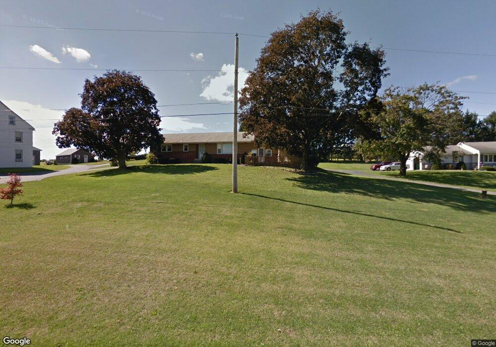
71 Hartman Rd Kutztown, PA 19530
Maxatawny NeighborhoodEstimated Value: $295,000 - $392,000
3
Beds
2
Baths
1,680
Sq Ft
$197/Sq Ft
Est. Value
About This Home
This home is located at 71 Hartman Rd, Kutztown, PA 19530 and is currently estimated at $330,135, approximately $196 per square foot. 71 Hartman Rd is a home located in Berks County with nearby schools including Kutztown Area Senior High School, Pleasant Hills Mennonite School, and LIGHTHOUSE ISLAND ACADEMY.
Ownership History
Date
Name
Owned For
Owner Type
Purchase Details
Closed on
Oct 22, 2008
Sold by
Haas Laroy L and Haas Janet K
Bought by
Boyer Troy A and Boyer Sally A
Current Estimated Value
Purchase Details
Closed on
Feb 27, 2001
Sold by
Estate Of Susannah Hartman and Haas Janet K
Bought by
Boyer Sally A and Boyer Troy A
Home Financials for this Owner
Home Financials are based on the most recent Mortgage that was taken out on this home.
Original Mortgage
$121,800
Interest Rate
7%
Mortgage Type
FHA
Create a Home Valuation Report for This Property
The Home Valuation Report is an in-depth analysis detailing your home's value as well as a comparison with similar homes in the area
Home Values in the Area
Average Home Value in this Area
Purchase History
| Date | Buyer | Sale Price | Title Company |
|---|---|---|---|
| Boyer Troy A | -- | None Available | |
| Boyer Sally A | $125,900 | -- |
Source: Public Records
Mortgage History
| Date | Status | Borrower | Loan Amount |
|---|---|---|---|
| Previous Owner | Boyer Sally A | $121,800 |
Source: Public Records
Tax History Compared to Growth
Tax History
| Year | Tax Paid | Tax Assessment Tax Assessment Total Assessment is a certain percentage of the fair market value that is determined by local assessors to be the total taxable value of land and additions on the property. | Land | Improvement |
|---|---|---|---|---|
| 2025 | $1,489 | $121,900 | $51,500 | $70,400 |
| 2024 | $5,034 | $121,900 | $51,500 | $70,400 |
| 2023 | $4,873 | $121,900 | $51,500 | $70,400 |
| 2022 | $4,873 | $121,900 | $51,500 | $70,400 |
| 2021 | $4,873 | $121,900 | $51,500 | $70,400 |
| 2020 | $4,873 | $121,900 | $51,500 | $70,400 |
| 2019 | $4,873 | $121,900 | $51,500 | $70,400 |
| 2018 | $4,873 | $121,900 | $51,500 | $70,400 |
| 2017 | $4,838 | $121,900 | $51,500 | $70,400 |
| 2016 | $1,163 | $121,900 | $51,500 | $70,400 |
| 2015 | $1,163 | $121,900 | $51,500 | $70,400 |
| 2014 | $1,163 | $121,900 | $51,500 | $70,400 |
Source: Public Records
Map
Nearby Homes
- 350 College Blvd
- 122 Portia Blvd
- 113 W Main St
- 112 Portia Blvd
- 141 Portia Blvd
- 10 E Main St
- 131 Portia Blvd
- 121 Portia Blvd
- 164 W Main St
- 111 Portia Blvd
- 504-512 E Main St
- 471 Highland Ave
- 470 Highland Ave
- 99 Noble St
- 602 Seem Dr
- 233 Noble St
- 97 S Kemp Rd
- 0 College Blvd Unit PABK2022518
- 875 Krumsville Rd
- 20 Miller Dr
- 83 Hartman Rd
- 103 Hartman Rd
- 51 Hartman Rd
- 117 Hartman Rd
- 413 Krumsville Rd
- 433 Krumsville Rd
- 417 Krumsville Rd
- 421 Krumsville Rd
- 91 Hartman Rd
- 425 Krumsville Rd
- 429 Krumsville Rd
- 445 Krumsville Rd
- 437 Krumsville Rd
- 441 Krumsville Rd
- 449 Krumsville Rd
- 453 Krumsville Rd
- 457 Krumsville Rd
- 461 Krumsville Rd
- 465 Krumsville Rd
- 469 Krumsville Rd