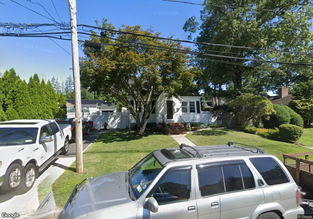
71 Hawthorne St Massapequa, NY 11758
Estimated Value: $571,000 - $612,341
3
Beds
1
Bath
965
Sq Ft
$613/Sq Ft
Est. Value
About This Home
This home is located at 71 Hawthorne St, Massapequa, NY 11758 and is currently estimated at $591,671, approximately $613 per square foot. 71 Hawthorne St is a home located in Nassau County with nearby schools including Massapequa High School - Ames Campus, Berner Middle School, and Massapequa High School.
Ownership History
Date
Name
Owned For
Owner Type
Purchase Details
Closed on
Jan 21, 2016
Sold by
Storz Bradley and Storz Christine
Bought by
Mcguiness Kevin and Mcguiness Joan
Current Estimated Value
Purchase Details
Closed on
May 13, 2011
Sold by
Lowell Heather and Lowell Michael
Bought by
Storz Bradley and Storz Christine
Home Financials for this Owner
Home Financials are based on the most recent Mortgage that was taken out on this home.
Original Mortgage
$236,000
Interest Rate
4.94%
Mortgage Type
Purchase Money Mortgage
Purchase Details
Closed on
Jun 25, 1999
Sold by
Kelley Patricia C and Craven John C
Bought by
Lowell Michael and Lowell Heather
Home Financials for this Owner
Home Financials are based on the most recent Mortgage that was taken out on this home.
Original Mortgage
$173,569
Interest Rate
7.19%
Mortgage Type
FHA
Purchase Details
Closed on
Mar 21, 1987
Create a Home Valuation Report for This Property
The Home Valuation Report is an in-depth analysis detailing your home's value as well as a comparison with similar homes in the area
Home Values in the Area
Average Home Value in this Area
Purchase History
| Date | Buyer | Sale Price | Title Company |
|---|---|---|---|
| Mcguiness Kevin | $355,000 | Zodiac Title Services Llc | |
| Storz Bradley | $295,000 | -- | |
| Lowell Michael | $175,000 | -- | |
| Kelly Patricia C | -- | -- | |
| -- | -- | -- |
Source: Public Records
Mortgage History
| Date | Status | Borrower | Loan Amount |
|---|---|---|---|
| Previous Owner | Storz Bradley | $236,000 | |
| Previous Owner | Lowell Michael | $173,569 |
Source: Public Records
Tax History Compared to Growth
Tax History
| Year | Tax Paid | Tax Assessment Tax Assessment Total Assessment is a certain percentage of the fair market value that is determined by local assessors to be the total taxable value of land and additions on the property. | Land | Improvement |
|---|---|---|---|---|
| 2025 | $10,257 | $360 | $151 | $209 |
| 2024 | $3,005 | $352 | $147 | $205 |
| 2023 | $9,786 | $368 | $154 | $214 |
| 2022 | $9,786 | $368 | $154 | $214 |
| 2021 | $9,558 | $354 | $148 | $206 |
| 2020 | $9,266 | $495 | $486 | $9 |
| 2019 | $8,648 | $533 | $524 | $9 |
| 2018 | $8,774 | $684 | $0 | $0 |
| 2017 | $5,422 | $684 | $672 | $12 |
| 2016 | $8,749 | $684 | $672 | $12 |
| 2015 | $2,986 | $684 | $672 | $12 |
| 2014 | $2,986 | $684 | $672 | $12 |
| 2013 | $2,716 | $684 | $672 | $12 |
Source: Public Records
Map
Nearby Homes
- 54 Chestnut St
- 28 Grove St
- 17 Linden St
- 63 Pennsylvania Ave
- 36 Michigan Ave
- 51 Michigan Ave
- 1872 Park Dr
- 4037 Park Dr
- 5675 Merrick Rd
- 104 Clark Ave
- 3969 Marlow Ct
- 73 Chicago Ave
- 3945 Hickory St
- 2067 Jackson Ave
- 37 Lakeshore Blvd
- 4060 Clark St
- 70 Pittsburgh Ave
- 116 Parkhill Ave
- 4 Sutton Place
- 11 Pittsburgh Ave