71 Honey Hill Rd New Hartford, CT 06057
Estimated Value: $669,284 - $830,000
4
Beds
4
Baths
3,252
Sq Ft
$230/Sq Ft
Est. Value
About This Home
This home is located at 71 Honey Hill Rd, New Hartford, CT 06057 and is currently estimated at $747,071, approximately $229 per square foot. 71 Honey Hill Rd is a home located in Litchfield County with nearby schools including Ann Antolini School, Northwestern Regional Middle School, and Northwestern Regional High School.
Ownership History
Date
Name
Owned For
Owner Type
Purchase Details
Closed on
Aug 3, 2004
Sold by
Nolte William E and Nolte Dorenda B
Bought by
Martha William M and Martha Denise L
Current Estimated Value
Purchase Details
Closed on
Dec 26, 1990
Sold by
Country Living Homes
Bought by
Iffland Barbara
Create a Home Valuation Report for This Property
The Home Valuation Report is an in-depth analysis detailing your home's value as well as a comparison with similar homes in the area
Home Values in the Area
Average Home Value in this Area
Purchase History
| Date | Buyer | Sale Price | Title Company |
|---|---|---|---|
| Martha William M | $480,000 | -- | |
| Iffland Barbara | $50,000 | -- |
Source: Public Records
Mortgage History
| Date | Status | Borrower | Loan Amount |
|---|---|---|---|
| Previous Owner | Iffland Barbara | $135,000 | |
| Previous Owner | Iffland Barbara | $50,000 | |
| Previous Owner | Iffland Barbara | $40,000 |
Source: Public Records
Tax History Compared to Growth
Tax History
| Year | Tax Paid | Tax Assessment Tax Assessment Total Assessment is a certain percentage of the fair market value that is determined by local assessors to be the total taxable value of land and additions on the property. | Land | Improvement |
|---|---|---|---|---|
| 2025 | $10,759 | $388,850 | $84,490 | $304,360 |
| 2024 | $10,242 | $388,850 | $84,490 | $304,360 |
| 2023 | $9,078 | $283,080 | $83,720 | $199,360 |
| 2022 | $8,934 | $283,080 | $83,720 | $199,360 |
| 2021 | $8,968 | $283,080 | $83,720 | $199,360 |
| 2020 | $8,841 | $283,080 | $83,720 | $199,360 |
| 2019 | $8,733 | $283,080 | $83,720 | $199,360 |
| 2018 | $8,699 | $277,760 | $83,650 | $194,110 |
| 2017 | $8,422 | $277,760 | $83,650 | $194,110 |
| 2016 | $8,366 | $277,760 | $83,650 | $194,110 |
| 2015 | $8,372 | $277,760 | $83,650 | $194,110 |
| 2014 | $7,855 | $277,760 | $83,650 | $194,110 |
Source: Public Records
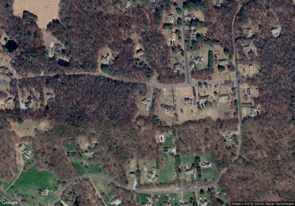
Map
Nearby Homes
- 208 South Rd
- 16 Sabolcik Rd
- 6 Windsor Ln
- 21 Kellogg Rd
- 37 Hidden Hill Rd
- 85 Stedman Rd
- 71 Wickett St
- 37 E Cotton Hill Rd
- 195 County Line Rd
- 92 Shafer Rd
- 29 Partridge Ln
- 595 Town Hill Rd
- 22B Hoppen Rd
- 22A Hoppen Rd
- 555 Town Hill Rd
- 76 Charolais Way
- 175 Ramstein Rd
- 1480 Litchfield Turnpike
- 19 Vickers Rd
- 35 Hemlock Dr
- 79 Honey Hill Rd
- 85 Honey Hill Rd
- 66 Honey Hill Rd
- 7 Red Clover Rd
- 38 Spencer Brook Rd
- 26 Spencer Brook Rd
- 32 Spencer Brook Rd
- 46 Spencer Brook Rd
- 89 Honey Hill Rd
- 52 Honey Hill Rd
- 6 Red Clover Rd
- 19 Red Clover Rd
- 54 Spencer Brook Rd
- 66 Spencer Brook Rd
- 95 Honey Hill Rd
- 20 Spencer Brook Rd
- 39 Honey Hill Rd
- 25 Red Clover Rd
- 88 Honey Hill Rd
- 76 Spencer Brook Rd