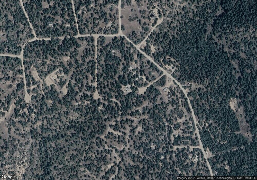
71 Kays Ct Pagosa Springs, CO 81147
Estimated Value: $293,000 - $370,000
2
Beds
1
Bath
1,024
Sq Ft
$329/Sq Ft
Est. Value
About This Home
This home is located at 71 Kays Ct, Pagosa Springs, CO 81147 and is currently estimated at $336,490, approximately $328 per square foot. 71 Kays Ct is a home located in Archuleta County with nearby schools including Pagosa Springs Elementary School, Pagosa Springs Middle School, and Pagosa Springs High School.
Ownership History
Date
Name
Owned For
Owner Type
Purchase Details
Closed on
Oct 13, 2022
Sold by
Bogard Larry
Bought by
Bogard Larry and Bogard Loren Bromley
Current Estimated Value
Purchase Details
Closed on
Mar 10, 2010
Sold by
Cruzzer Llc
Bought by
Bogard Larry and Bogard Bette J
Purchase Details
Closed on
May 29, 2007
Sold by
Ray David and Ray Joyce
Bought by
Gillich Michael
Purchase Details
Closed on
Feb 1, 1990
Sold by
Zef Company
Bought by
Zepp Family Trust
Purchase Details
Closed on
Jan 9, 1990
Sold by
Fenney Andrew G
Bought by
Zef Company
Purchase Details
Closed on
Oct 27, 1989
Sold by
Asp Sp Associates
Bought by
Fenney Andrew G
Purchase Details
Closed on
Mar 5, 1982
Sold by
Zepp Famil Trust
Bought by
Ray David and Ray Joyce
Purchase Details
Closed on
Jan 15, 1980
Sold by
Asp Sp Assoc
Create a Home Valuation Report for This Property
The Home Valuation Report is an in-depth analysis detailing your home's value as well as a comparison with similar homes in the area
Home Values in the Area
Average Home Value in this Area
Purchase History
| Date | Buyer | Sale Price | Title Company |
|---|---|---|---|
| Bogard Larry | -- | None Listed On Document | |
| Bogard Bette J | -- | None Listed On Document | |
| Bogard Larry | $900 | Colorado Land Title Co | |
| Gillich Michael | $7,000 | Great Divide Title | |
| Zepp Family Trust | -- | -- | |
| Zef Company | -- | -- | |
| Fenney Andrew G | -- | -- | |
| Ray David | $5,500 | -- | |
| -- | $5,000 | -- |
Source: Public Records
Tax History Compared to Growth
Tax History
| Year | Tax Paid | Tax Assessment Tax Assessment Total Assessment is a certain percentage of the fair market value that is determined by local assessors to be the total taxable value of land and additions on the property. | Land | Improvement |
|---|---|---|---|---|
| 2024 | $859 | $18,750 | $1,310 | $17,440 |
| 2023 | $859 | $18,750 | $1,310 | $17,440 |
| 2022 | $744 | $16,980 | $970 | $16,010 |
| 2021 | $1,267 | $17,480 | $1,000 | $16,480 |
| 2020 | $803 | $11,080 | $890 | $10,190 |
| 2019 | $794 | $11,080 | $890 | $10,190 |
| 2018 | $650 | $8,480 | $610 | $7,870 |
| 2017 | $571 | $8,480 | $610 | $7,870 |
| 2016 | $834 | $12,310 | $530 | $11,780 |
| 2015 | -- | $12,310 | $530 | $11,780 |
| 2014 | -- | $2,300 | $500 | $1,800 |
Source: Public Records
Map
Nearby Homes
- 106 Ivan's Ct
- 101 Ivan's Ct
- 90 Ivan's Ct
- 2444 Crooked Rd
- 2932 Crooked Rd
- 73 Wayne's Ct
- 21 Jan's Ct
- 553 Crooked Rd
- 1222 Crooked Rd
- 1286 Crooked Rd
- 2868/2892 Crooked Rd
- 2620/2676 Crooked Rd
- 2620/76,2868/92 Crooked Rd
- 1260 Crooked Rd
- 123 Susan's Place
- 783 Gun Barrel Rd
- 49 Quiet Ct
- 216 Allison Place
- 43 Butzke Ct
- 149/154 Engineer Point
- 0 Kay's Ct Unit 626644
- 2261 Crooked Rd
- 140B Ivan's Ct
- 0 Ivans Ct Unit 696007
- 61,85,107,131 Ivan's Ct
- 76 Kay's Ct
- 70 & 76 Kay's Ct
- 70 Kay's Ct
- 2208 Crooked Rd
- 2176 Crooked Rd
- 2345 Crooked Rd
- 66 & 90 George's Ct
- 131 Ivan's Ct
- 107 Sweet Ct
- 85 Sweet Ct
- 61 Sweet Ct
- 141 Sweet Ct
- 141 Ivan's Ct
- 2074 Crooked Rd
- 64 Jake's Ct
