71 Lawton Bluff Rd Dahlonega, GA 30533
Estimated Value: $369,126 - $412,000
--
Bed
2
Baths
1,792
Sq Ft
$222/Sq Ft
Est. Value
About This Home
This home is located at 71 Lawton Bluff Rd, Dahlonega, GA 30533 and is currently estimated at $397,375, approximately $221 per square foot. 71 Lawton Bluff Rd is a home located in Lumpkin County with nearby schools including Lumpkin County High School.
Ownership History
Date
Name
Owned For
Owner Type
Purchase Details
Closed on
May 23, 2011
Sold by
Mayfield Bobby L and Mayfield Mechelle
Bought by
Mayfield Bobby L
Current Estimated Value
Purchase Details
Closed on
Feb 16, 2000
Sold by
Waters Rodney
Bought by
Mayfield Bobby and Mayfield Mic
Purchase Details
Closed on
Jan 5, 2000
Sold by
Patterson James F
Bought by
Waters Rodney
Purchase Details
Closed on
Nov 1, 1994
Bought by
Patterson James F
Purchase Details
Closed on
Aug 31, 1992
Sold by
Michelle
Bought by
Mayfield Bobby L
Purchase Details
Closed on
Jun 20, 1989
Sold by
Kenny Kenny and Kenny Angela
Bought by
Patterson William
Purchase Details
Closed on
Mar 1, 1987
Sold by
Gibson Carl and Gibson Myrtle
Bought by
Gibson Carl and Gibson Myrtle
Purchase Details
Closed on
Mar 1, 1984
Bought by
Gibson Carl and Gibson Myrtle
Create a Home Valuation Report for This Property
The Home Valuation Report is an in-depth analysis detailing your home's value as well as a comparison with similar homes in the area
Home Values in the Area
Average Home Value in this Area
Purchase History
| Date | Buyer | Sale Price | Title Company |
|---|---|---|---|
| Mayfield Bobby L | -- | -- | |
| Mayfield Bobby | $58,200 | -- | |
| Waters Rodney | $48,300 | -- | |
| Patterson James F | -- | -- | |
| Mayfield Bobby L | $67,000 | -- | |
| Patterson William | -- | -- | |
| Gibson Carl | -- | -- | |
| Gibson Carl | -- | -- |
Source: Public Records
Tax History Compared to Growth
Tax History
| Year | Tax Paid | Tax Assessment Tax Assessment Total Assessment is a certain percentage of the fair market value that is determined by local assessors to be the total taxable value of land and additions on the property. | Land | Improvement |
|---|---|---|---|---|
| 2024 | $2,674 | $110,464 | $61,397 | $49,067 |
| 2023 | $2,289 | $97,308 | $51,700 | $45,608 |
| 2022 | $2,161 | $87,278 | $43,084 | $44,194 |
| 2021 | $2,033 | $79,402 | $43,084 | $36,318 |
| 2020 | $2,018 | $76,506 | $41,285 | $35,221 |
| 2019 | $2,037 | $76,506 | $41,285 | $35,221 |
| 2018 | $2,055 | $72,423 | $41,285 | $31,138 |
| 2017 | $2,021 | $71,857 | $41,285 | $30,572 |
| 2016 | $1,964 | $67,676 | $41,285 | $26,391 |
| 2015 | $1,754 | $67,676 | $41,285 | $26,391 |
| 2014 | $1,754 | $68,520 | $41,285 | $27,235 |
| 2013 | -- | $69,364 | $41,285 | $28,079 |
Source: Public Records
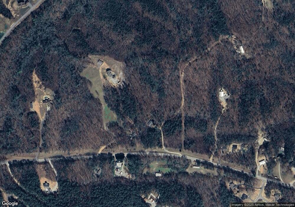
Map
Nearby Homes
- 0 Nimblewill Creek Rd Unit 7592435
- 0 Nimblewill Creek Rd Unit 10537541
- 0 Nimblewill Creek Rd Unit 10537492
- 0 Nimblewill Creek Rd Unit 7592523
- 3A Patriot View Dr
- 687 Nimblewill Creek Rd
- 9 W Woods Ct
- 235 W Woods Dr
- 604 Sheep Wallow Rd
- 245 W Woods Dr
- 155 Braeburn Ln
- 10 Strada Del Vino
- 0 Strada Del Vino Unit 10
- 543 Rider Mill Rd
- 436 Applewood Ln
- 115 W Woods Dr
- 20 Angels Way
- 78 Etowah West Dr
- 5.31 Tom Bell Odom Rd
- 1028 Jess Grizzle Rd
- 4008 Highway 52 W
- 4008 Highway 52 W
- 3600 Highway 52 W
- 0000 Lawton Bluff Rd
- 4097 Georgia 52
- 4097 Highway 52 W
- 4073 Highway 52 W
- 4121 Highway 52 W
- 3790 Highway 52 W
- 4352 Highway 52 W
- 3780 Highway 52 W
- 52 West Cir Unit 8993332
- 52 West Cir Unit 10 Acres 9000153
- 52 West Cir
- 3768 Highway 52 W
- 75 Twisted Pines Crossing
- Lot 10 Pine Bark Path
- 4329 Highway 52 W
- 140 Pine Bark Path
- 116 Twisted Pines Crossing