71 Loop Rd West Bath, ME 04530
Estimated Value: $622,966 - $704,000
1
Bed
1
Bath
675
Sq Ft
$996/Sq Ft
Est. Value
About This Home
This home is located at 71 Loop Rd, West Bath, ME 04530 and is currently estimated at $671,992, approximately $995 per square foot. 71 Loop Rd is a home located in Sagadahoc County with nearby schools including Morse High School.
Create a Home Valuation Report for This Property
The Home Valuation Report is an in-depth analysis detailing your home's value as well as a comparison with similar homes in the area
Home Values in the Area
Average Home Value in this Area
Tax History
| Year | Tax Paid | Tax Assessment Tax Assessment Total Assessment is a certain percentage of the fair market value that is determined by local assessors to be the total taxable value of land and additions on the property. | Land | Improvement |
|---|---|---|---|---|
| 2024 | $5,524 | $673,600 | $574,800 | $98,800 |
| 2023 | $4,580 | $673,600 | $574,800 | $98,800 |
| 2022 | $3,834 | $358,300 | $327,300 | $31,000 |
| 2021 | $3,762 | $358,300 | $327,300 | $31,000 |
| 2020 | $3,762 | $358,300 | $327,300 | $31,000 |
| 2019 | $3,762 | $358,300 | $327,300 | $31,000 |
| 2018 | $3,977 | $358,300 | $327,300 | $31,000 |
| 2017 | $4,013 | $358,300 | $327,300 | $31,000 |
| 2016 | $3,655 | $358,300 | $327,300 | $31,000 |
| 2015 | $3,726 | $358,300 | $327,300 | $31,000 |
| 2014 | $3,655 | $358,300 | $327,300 | $31,000 |
| 2013 | $3,637 | $358,300 | $327,300 | $31,000 |
Source: Public Records
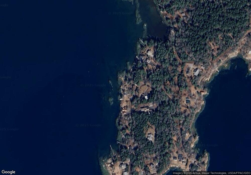
Map
Nearby Homes
- 32 Merritt Rd
- 4 Osprey Ridge Rd
- 111 Rockweed Rd
- 140 Clifford Rd
- 15 Church Ln
- 29 & 30 Nob Hill Ave
- 646 Gurnet Rd
- 87 Austin Rd
- Lot# 9 Kennebec Shores Rd
- 0 Main Rd
- 5 Pearl Dr
- 4 Pearl Dr
- 0 Sebasco Rd
- 30 Driftwood Tide Ln
- 17-1 Bald Head Rd
- Lot # 19 Bald Head Rd
- 8 Kimberley Cir
- 53 High St
- Lot 7-1 Captain John Parker Rd
- 260 Coombs Rd
Your Personal Tour Guide
Ask me questions while you tour the home.