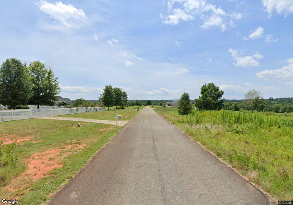
#71 Malden Ct Unit Lot 71 Crouse, NC 28033
Estimated Value: $605,000 - $1,129,202
4
Beds
4
Baths
3,647
Sq Ft
$207/Sq Ft
Est. Value
About This Home
This home is located at #71 Malden Ct Unit Lot 71, Crouse, NC 28033 and is currently estimated at $755,051, approximately $207 per square foot. #71 Malden Ct Unit Lot 71 is a home located in Lincoln County with nearby schools including Norris S. Childers Elementary School, West Lincoln Middle, and West Lincoln High School.
Ownership History
Date
Name
Owned For
Owner Type
Purchase Details
Closed on
Mar 4, 2016
Sold by
American Land Corporation-Charlotte Inc
Bought by
Shortridge Ii Daniel R and Shortridge Deana W
Current Estimated Value
Home Financials for this Owner
Home Financials are based on the most recent Mortgage that was taken out on this home.
Original Mortgage
$30,000
Outstanding Balance
$7,223
Interest Rate
3.79%
Mortgage Type
Purchase Money Mortgage
Estimated Equity
$747,828
Create a Home Valuation Report for This Property
The Home Valuation Report is an in-depth analysis detailing your home's value as well as a comparison with similar homes in the area
Home Values in the Area
Average Home Value in this Area
Purchase History
| Date | Buyer | Sale Price | Title Company |
|---|---|---|---|
| Shortridge Ii Daniel R | $45,000 | None Available |
Source: Public Records
Mortgage History
| Date | Status | Borrower | Loan Amount |
|---|---|---|---|
| Open | Shortridge Ii Daniel R | $30,000 |
Source: Public Records
Tax History Compared to Growth
Tax History
| Year | Tax Paid | Tax Assessment Tax Assessment Total Assessment is a certain percentage of the fair market value that is determined by local assessors to be the total taxable value of land and additions on the property. | Land | Improvement |
|---|---|---|---|---|
| 2025 | $5,860 | $901,569 | $49,660 | $851,909 |
| 2024 | $5,840 | $901,569 | $49,660 | $851,909 |
| 2023 | $5,835 | $901,569 | $49,660 | $851,909 |
| 2022 | $3,896 | $501,168 | $40,328 | $460,840 |
| 2021 | $3,703 | $475,585 | $40,328 | $435,257 |
| 2020 | $3,493 | $475,585 | $40,328 | $435,257 |
| 2019 | $3,409 | $464,119 | $40,328 | $423,791 |
| 2018 | $2,716 | $356,548 | $37,828 | $318,720 |
| 2017 | $237 | $0 | $0 | $0 |
| 2016 | $237 | $0 | $0 | $0 |
| 2015 | $232 | $32,328 | $32,328 | $0 |
| 2014 | $289 | $41,160 | $41,160 | $0 |
Source: Public Records
Map
Nearby Homes
- 000 Leonards Fork Church Rd
- 1357 Malden Ct
- 1495 Leonards Fork Church Rd
- 2006 Kollege Ln
- 3103 Richview Dr
- 1000 Creekside Dr
- 1084 Lyndsey Brook Ct
- 1074 Lyndsey Brook Ct
- 938 Lyndsey Brook Ct
- 2383 N Carolina 182
- 2700 Moose Gantt Trail
- 963 Sunbeam Dr
- 1568 Pleasant Grove Church Rd
- 2297 Swanson Rd
- 2488 Shoal Rd
- 1214 Pleasant Grove Church Rd
- 2124 Shoal Rd
- 8 Swanson Rd
- 3372 Crouse School Rd
- 792 Mace Ln
- 1607 Malden Ct
- 1589 Malden Ct
- 1576 Malden Ct
- 1575 Malden Ct
- 0 Malden Ct Unit 893180
- 0 Malden Ct Unit 65 3085725
- 0 Malden Ct Unit 80 CAR3893140
- 0 Malden Ct Unit 54 CAR3893113
- 0 Malden Ct Unit 91 CAR3893166
- 0 Malden Ct Unit 92 CAR3893190
- 0 Malden Ct Unit 54 CAR3844596
- 000 Malden Ct Unit 65
- 3664 Oakdale Dr
- 3667 Oakdale Dr
- 3662 Oakdale Dr
- Lot # 84,85 Malden Ct
- 3559 Treymore Dr
- 3652 Oakdale Dr
- 3558 Treymore Dr
- 3651 Oakdale Dr
