71 Margie Ln Forsyth, GA 31029
Estimated Value: $290,000 - $542,000
3
Beds
3
Baths
3,614
Sq Ft
$119/Sq Ft
Est. Value
About This Home
This home is located at 71 Margie Ln, Forsyth, GA 31029 and is currently estimated at $431,362, approximately $119 per square foot. 71 Margie Ln is a home located in Monroe County with nearby schools including T.G. Scott Elementary School and Mary Persons High School.
Ownership History
Date
Name
Owned For
Owner Type
Purchase Details
Closed on
Mar 12, 2019
Sold by
Davis Richard Lee
Bought by
Brown Wimberly Joshua Richard and Brown Wimberly Carolyn
Current Estimated Value
Home Financials for this Owner
Home Financials are based on the most recent Mortgage that was taken out on this home.
Original Mortgage
$94,520
Interest Rate
4.3%
Mortgage Type
Commercial
Purchase Details
Closed on
Jul 24, 2008
Sold by
Watson Alan Eugene
Bought by
Watson Lori Ann
Purchase Details
Closed on
Jan 10, 2007
Sold by
Not Provided
Bought by
Davis Richard Lee
Purchase Details
Closed on
Jan 1, 1901
Bought by
Davis Richard Lee
Create a Home Valuation Report for This Property
The Home Valuation Report is an in-depth analysis detailing your home's value as well as a comparison with similar homes in the area
Home Values in the Area
Average Home Value in this Area
Purchase History
| Date | Buyer | Sale Price | Title Company |
|---|---|---|---|
| Brown Wimberly Joshua Richard | $111,200 | -- | |
| Davis Richard Lee Sr Estate | -- | -- | |
| Watson Lori Ann | -- | -- | |
| Davis Richard Lee | -- | -- | |
| Davis Richard Lee | -- | -- |
Source: Public Records
Mortgage History
| Date | Status | Borrower | Loan Amount |
|---|---|---|---|
| Closed | Davis Richard Lee Sr Estate | $94,520 |
Source: Public Records
Tax History Compared to Growth
Tax History
| Year | Tax Paid | Tax Assessment Tax Assessment Total Assessment is a certain percentage of the fair market value that is determined by local assessors to be the total taxable value of land and additions on the property. | Land | Improvement |
|---|---|---|---|---|
| 2024 | $1,586 | $104,200 | $45,120 | $59,080 |
| 2023 | $1,518 | $94,640 | $45,120 | $49,520 |
| 2022 | $1,253 | $94,640 | $45,120 | $49,520 |
| 2021 | $1,293 | $94,640 | $45,120 | $49,520 |
| 2020 | $1,666 | $94,640 | $45,120 | $49,520 |
| 2019 | $1,060 | $106,400 | $45,160 | $61,240 |
| 2018 | $1,135 | $109,080 | $45,160 | $63,920 |
| 2017 | $3,170 | $109,080 | $45,160 | $63,920 |
| 2016 | $1,068 | $109,080 | $45,160 | $63,920 |
| 2015 | $1,006 | $109,080 | $45,160 | $63,920 |
| 2014 | $964 | $109,080 | $45,160 | $63,920 |
Source: Public Records
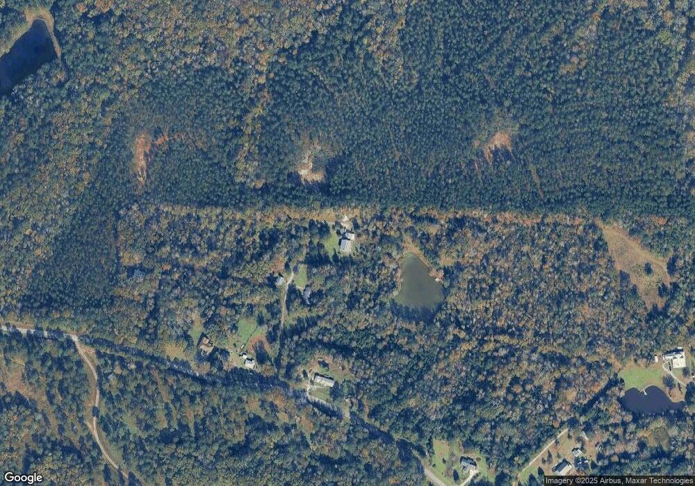
Map
Nearby Homes
- 0 Rogers Church Rd Unit 10643854
- 137 Shady Dale Dr
- 285 Lower Simmons Rd
- 283 Lower Simmons Rd
- 0 Yellow Creek Rd Unit 24433636
- 0 Yellow Creek Rd Unit 24433638
- 1122 Irongate
- 112 Irongate
- 8692 Estes Rd
- 8757 Estes Rd
- 1774 Maynards Mill Rd
- Lot 15-A-2 Creekside Ln
- Lot 15-A-1 Creekside Ln
- 375 Bagley Rd
- 1409 Barrington Place Way
- Plan 3040 at Barrington Place
- Plan 2700 at Barrington Place
- Plan 2620 at Barrington Place
- Plan 2100 at Barrington Place
- Plan 2604 at Barrington Place
- 41 Margie Ln
- 54 Margie Ln
- 10279 Zebulon Rd
- 10313 Zebulon Rd
- 10313 Zebulon Rd
- 10569 Zebulon Rd
- 10343 Zebulon Rd
- 10227 Old Zebulon Rd
- 10375 Zebulon Rd
- 10205 Zebulon Rd
- 10193 Zebulon Rd
- 10195 Zebulon Rd
- 10094 Zebulon Rd
- 10518 Maynards Mill Rd
- 10058 Zebulon Rd
- 10040 Zebulon Rd
- 10024 Zebulon Rd
- 180 Twin Creeks Dr
- 0 Twin Creeks Dr Unit 8950343
- 0 Twin Creeks Dr Unit 158466