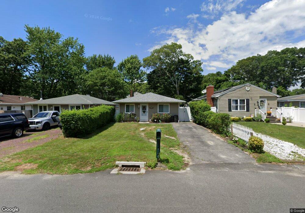
71 Mastic Blvd Mastic, NY 11950
Estimated Value: $352,000 - $431,000
3
Beds
1
Bath
1,014
Sq Ft
$393/Sq Ft
Est. Value
About This Home
This home is located at 71 Mastic Blvd, Mastic, NY 11950 and is currently estimated at $398,696, approximately $393 per square foot. 71 Mastic Blvd is a home located in Suffolk County with nearby schools including Moriches Elementary School, William Floyd Middle School, and William Floyd High School.
Ownership History
Date
Name
Owned For
Owner Type
Purchase Details
Closed on
Sep 26, 2013
Sold by
Jolaho Llc
Bought by
Hickman Lori Jean and Church Kevin Scott
Current Estimated Value
Home Financials for this Owner
Home Financials are based on the most recent Mortgage that was taken out on this home.
Original Mortgage
$127,492
Outstanding Balance
$94,862
Interest Rate
4.25%
Mortgage Type
FHA
Estimated Equity
$303,834
Purchase Details
Closed on
May 24, 2012
Sold by
Testa Jean and Connoly Joseph P
Bought by
Jolaho Llc
Create a Home Valuation Report for This Property
The Home Valuation Report is an in-depth analysis detailing your home's value as well as a comparison with similar homes in the area
Home Values in the Area
Average Home Value in this Area
Purchase History
| Date | Buyer | Sale Price | Title Company |
|---|---|---|---|
| Hickman Lori Jean | $129,850 | Fairway Title Agency Llc | |
| Jolaho Llc | $60,000 | Chicago Title Company |
Source: Public Records
Mortgage History
| Date | Status | Borrower | Loan Amount |
|---|---|---|---|
| Open | Hickman Lori Jean | $127,492 |
Source: Public Records
Tax History
| Year | Tax Paid | Tax Assessment Tax Assessment Total Assessment is a certain percentage of the fair market value that is determined by local assessors to be the total taxable value of land and additions on the property. | Land | Improvement |
|---|---|---|---|---|
| 2024 | $5,273 | $1,500 | $80 | $1,420 |
| 2023 | $5,273 | $1,500 | $80 | $1,420 |
| 2022 | $5,295 | $1,500 | $80 | $1,420 |
| 2021 | $5,295 | $1,500 | $80 | $1,420 |
| 2020 | $5,638 | $1,500 | $80 | $1,420 |
| 2019 | $5,638 | $0 | $0 | $0 |
| 2018 | -- | $1,500 | $80 | $1,420 |
| 2017 | $5,391 | $1,500 | $80 | $1,420 |
| 2016 | $5,417 | $1,500 | $80 | $1,420 |
| 2015 | -- | $1,500 | $80 | $1,420 |
| 2014 | -- | $1,500 | $80 | $1,420 |
Source: Public Records
Map
Nearby Homes
- 66 Wood Ave
- 29 Bedford Ave
- 19 Hawthorne St
- 0 Bedford Ave Unit KEYL3488158
- 176 Bedford Ave
- 1397 Montauk Hwy
- 1287 Montauk Hwy
- 111 A Wood Ave
- 0 Carlton Ave Unit KEY853013
- 1467 Montauk Hwy
- N/C First Place
- 45O Oakland Ave
- 25 Gores Dr
- 120 Somerset Ave
- 3 Lee Place
- 8 George Dr
- 145A Hampton Ave
- 139 Madison St
- 143 Hawthorne St
- 30 George Dr
Your Personal Tour Guide
Ask me questions while you tour the home.