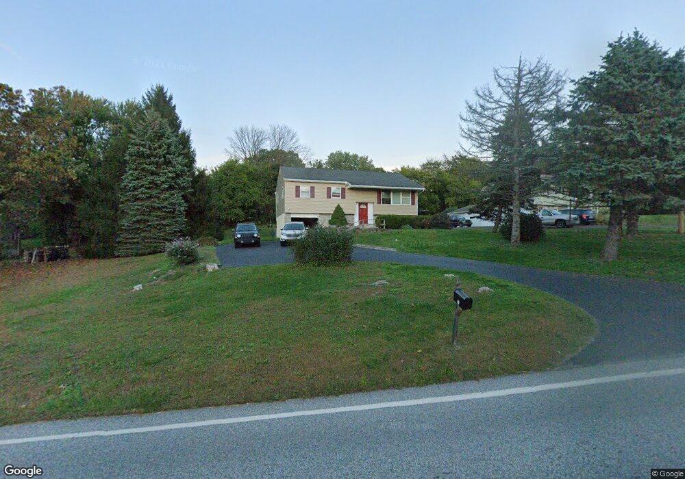
71 Maugers Mill Rd Pottstown, PA 19464
Estimated Value: $349,139 - $384,000
3
Beds
2
Baths
1,651
Sq Ft
$224/Sq Ft
Est. Value
About This Home
This home is located at 71 Maugers Mill Rd, Pottstown, PA 19464 and is currently estimated at $369,285, approximately $223 per square foot. 71 Maugers Mill Rd is a home located in Montgomery County with nearby schools including Lower Pottsgrove Elementary School, Pottsgrove Middle School, and Pottsgrove Senior High School.
Ownership History
Date
Name
Owned For
Owner Type
Purchase Details
Closed on
Dec 6, 2005
Sold by
Sinkbeil Ralph and Sinkbeil Kimberly
Bought by
Skora David and Skora Deborah
Current Estimated Value
Purchase Details
Closed on
Feb 28, 2005
Sold by
Webber Paul E and Webber James L
Bought by
Sinkbeil Ralph and Sinkbeil Kimberly
Home Financials for this Owner
Home Financials are based on the most recent Mortgage that was taken out on this home.
Original Mortgage
$118,400
Interest Rate
2%
Mortgage Type
New Conventional
Create a Home Valuation Report for This Property
The Home Valuation Report is an in-depth analysis detailing your home's value as well as a comparison with similar homes in the area
Home Values in the Area
Average Home Value in this Area
Purchase History
| Date | Buyer | Sale Price | Title Company |
|---|---|---|---|
| Skora David | $223,500 | -- | |
| Sinkbeil Ralph | $148,000 | -- |
Source: Public Records
Mortgage History
| Date | Status | Borrower | Loan Amount |
|---|---|---|---|
| Previous Owner | Sinkbeil Ralph | $118,400 |
Source: Public Records
Tax History Compared to Growth
Tax History
| Year | Tax Paid | Tax Assessment Tax Assessment Total Assessment is a certain percentage of the fair market value that is determined by local assessors to be the total taxable value of land and additions on the property. | Land | Improvement |
|---|---|---|---|---|
| 2025 | $5,340 | $108,900 | $31,600 | $77,300 |
| 2024 | $5,340 | $108,900 | $31,600 | $77,300 |
| 2023 | $5,174 | $108,900 | $31,600 | $77,300 |
| 2022 | $5,096 | $108,900 | $31,600 | $77,300 |
| 2021 | $5,023 | $108,900 | $31,600 | $77,300 |
| 2020 | $5,004 | $108,900 | $31,600 | $77,300 |
| 2019 | $4,978 | $108,900 | $31,600 | $77,300 |
| 2018 | $855 | $108,900 | $31,600 | $77,300 |
| 2017 | $4,995 | $108,900 | $31,600 | $77,300 |
| 2016 | $4,952 | $108,900 | $31,600 | $77,300 |
| 2015 | $4,839 | $108,900 | $31,600 | $77,300 |
| 2014 | $4,839 | $108,900 | $31,600 | $77,300 |
Source: Public Records
Map
Nearby Homes
- 104 Maugers Mill Rd
- 108 Maugers Mill Rd
- 1506 Aspen Dr
- 126 Pine Ford Rd Unit 65
- 1440 Farmington Ave Unit 11
- 1406 N State St
- 186 Maugers Mill Rd
- 278 Haven Dr
- 284 Haven Dr
- 318 Haven Dr
- 290 Haven Dr
- 296 Haven Dr
- 2146 Gilbertsville Rd
- 302 Haven Dr
- Laurel Plan at Pottsgrove Hunt - 55+
- NEUVILLE Plan at Pottsgrove Hunt - 55+
- Lismore Plan at Pottsgrove Hunt - 55+
- 314 Haven Dr
- 2190 Gilbertsville Rd
- 157 Forage Cir
- 65 Maugers Mill Rd
- 79 Maugers Mill Rd Unit 19
- 70 Maugers Mill Rd
- 74 Maugers Mill Rd
- 85 Maugers Mill Rd
- 61 Maugers Mill Rd
- 80 Maugers Mill Rd
- 84 Maugers Mill Rd
- 1486 Farmington Ave
- 88 Maugers Mill Rd
- 1570 Gilbertsville Rd
- 1514 Gilbertsville Rd
- 1498 Farmington Ave
- 1580 Gilbertsville Rd
- 0 Maugers Mill Rd
- 1480 Farmington Ave
- 1560 Gilbertsville Rd
- 92 Maugers Mill Rd
- 1 Gilbertsville Rd
- 1485 Farmington Ave