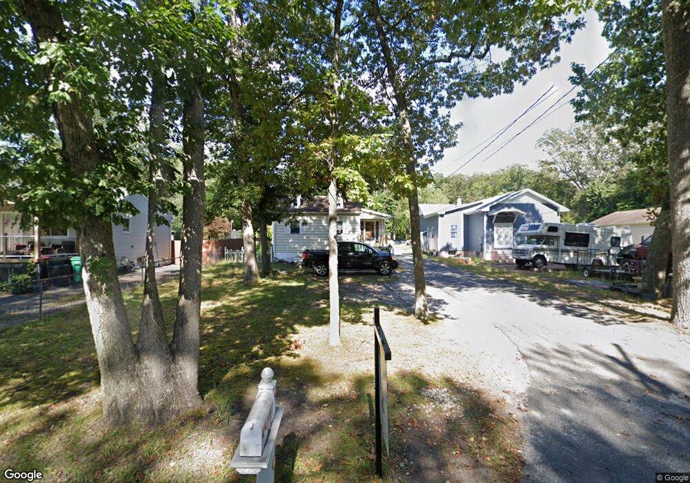
71 Maxim Rd Howell, NJ 07731
East Howell NeighborhoodEstimated Value: $395,000 - $509,000
1
Bed
2
Baths
740
Sq Ft
$632/Sq Ft
Est. Value
About This Home
This home is located at 71 Maxim Rd, Howell, NJ 07731 and is currently estimated at $468,017, approximately $632 per square foot. 71 Maxim Rd is a home located in Monmouth County with nearby schools including Land O' Pines School, Newbury School, and Howell Middle School North.
Ownership History
Date
Name
Owned For
Owner Type
Purchase Details
Closed on
Sep 30, 2013
Sold by
Gomez Benjamin M and Gomez Anne Marie L
Bought by
Gomez Benjamin M
Current Estimated Value
Purchase Details
Closed on
Aug 31, 2009
Sold by
Palella Jodie and Cibery George
Bought by
Johnson Sarah
Home Financials for this Owner
Home Financials are based on the most recent Mortgage that was taken out on this home.
Original Mortgage
$196,000
Interest Rate
5.14%
Mortgage Type
New Conventional
Purchase Details
Closed on
Sep 26, 2008
Sold by
Palella Jodie
Bought by
Palella Jodie and Cibery George
Purchase Details
Closed on
Oct 4, 2002
Sold by
Biesterfeld Arthur
Bought by
Palella Jodi and Palella Jodie
Home Financials for this Owner
Home Financials are based on the most recent Mortgage that was taken out on this home.
Original Mortgage
$171,200
Interest Rate
6.04%
Create a Home Valuation Report for This Property
The Home Valuation Report is an in-depth analysis detailing your home's value as well as a comparison with similar homes in the area
Home Values in the Area
Average Home Value in this Area
Purchase History
| Date | Buyer | Sale Price | Title Company |
|---|---|---|---|
| Gomez Benjamin M | -- | None Available | |
| Johnson Sarah | $245,000 | None Available | |
| Palella Jodie | -- | None Available | |
| Palella Jodi | $214,000 | -- | |
| Palella Jodi | $214,000 | -- |
Source: Public Records
Mortgage History
| Date | Status | Borrower | Loan Amount |
|---|---|---|---|
| Previous Owner | Johnson Sarah | $196,000 | |
| Previous Owner | Palella Jodi | $171,200 | |
| Previous Owner | Palella Jodi | $195,000 |
Source: Public Records
Tax History Compared to Growth
Tax History
| Year | Tax Paid | Tax Assessment Tax Assessment Total Assessment is a certain percentage of the fair market value that is determined by local assessors to be the total taxable value of land and additions on the property. | Land | Improvement |
|---|---|---|---|---|
| 2025 | $6,392 | $375,200 | $250,000 | $125,200 |
| 2024 | $5,585 | $320,400 | $197,500 | $122,900 |
| 2023 | $5,585 | $266,600 | $146,500 | $120,100 |
| 2022 | $5,114 | $229,500 | $115,200 | $114,300 |
| 2021 | $5,114 | $214,600 | $112,900 | $101,700 |
| 2020 | $5,650 | $224,100 | $112,900 | $111,200 |
| 2019 | $5,886 | $230,200 | $120,900 | $109,300 |
| 2018 | $5,588 | $217,000 | $112,800 | $104,200 |
| 2017 | $5,616 | $215,900 | $107,800 | $108,100 |
| 2016 | $5,392 | $205,400 | $100,000 | $105,400 |
| 2015 | $5,416 | $202,700 | $100,000 | $102,700 |
| 2014 | $5,161 | $179,400 | $120,000 | $59,400 |
Source: Public Records
Map
Nearby Homes
- 73 Maxim Rd
- 14 Maxim Rd
- 3 Brent Dr
- 62 Appletree Rd
- 7 Cherry Bend Dr
- 9 Us Highway 9
- 41 Sweetbriar Trail
- 38 Kiwi Loop
- 67 Appletree Rd
- 251 Oak Glen Rd
- 29 Snowdrift Ln
- 131 Starlight Rd
- 85 Starlight Rd
- 44 Diamond Ln
- 9 Yellowstone Ln
- 307 Princeton Dr
- 20 Appletree Rd
- 1574 Maxim Southard Rd
- 47 Yellowstone Ln
- 302 Princeton Dr