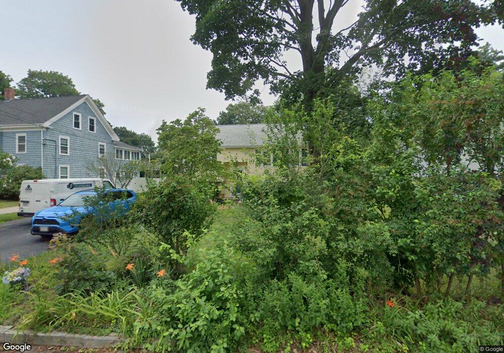
71 Mill St Weymouth, MA 02188
South Weymouth NeighborhoodEstimated Value: $575,965 - $758,000
--
Bed
2
Baths
924
Sq Ft
$705/Sq Ft
Est. Value
About This Home
This home is located at 71 Mill St, Weymouth, MA 02188 and is currently estimated at $651,241, approximately $704 per square foot. 71 Mill St is a home located in Norfolk County with nearby schools including Thomas V Nash, Abigail Adams Middle School, and Weymouth Middle School Chapman.
Ownership History
Date
Name
Owned For
Owner Type
Purchase Details
Closed on
Aug 21, 2012
Sold by
Gannon Patricia C
Bought by
Patricia C Gannon Ft
Current Estimated Value
Purchase Details
Closed on
Jul 28, 2009
Sold by
Laracy Patricia C
Bought by
Gannon Patricia C
Home Financials for this Owner
Home Financials are based on the most recent Mortgage that was taken out on this home.
Original Mortgage
$178,000
Interest Rate
5.58%
Mortgage Type
Purchase Money Mortgage
Purchase Details
Closed on
Apr 23, 1993
Sold by
Mchoul Mary K and Mchoul James
Bought by
Laracy Robert H
Purchase Details
Closed on
May 17, 1988
Sold by
Kelley Chris
Bought by
Mchoul James J
Create a Home Valuation Report for This Property
The Home Valuation Report is an in-depth analysis detailing your home's value as well as a comparison with similar homes in the area
Home Values in the Area
Average Home Value in this Area
Purchase History
| Date | Buyer | Sale Price | Title Company |
|---|---|---|---|
| Patricia C Gannon Ft | -- | -- | |
| Gannon Patricia C | -- | -- | |
| Laracy Robert H | $148,500 | -- | |
| Mchoul James J | $156,000 | -- |
Source: Public Records
Mortgage History
| Date | Status | Borrower | Loan Amount |
|---|---|---|---|
| Previous Owner | Mchoul James J | $192,000 | |
| Previous Owner | Gannon Patricia C | $178,000 | |
| Previous Owner | Mchoul James J | $151,600 |
Source: Public Records
Tax History Compared to Growth
Tax History
| Year | Tax Paid | Tax Assessment Tax Assessment Total Assessment is a certain percentage of the fair market value that is determined by local assessors to be the total taxable value of land and additions on the property. | Land | Improvement |
|---|---|---|---|---|
| 2025 | $5,697 | $564,100 | $236,500 | $327,600 |
| 2024 | $5,520 | $537,500 | $225,200 | $312,300 |
| 2023 | $5,204 | $498,000 | $208,600 | $289,400 |
| 2022 | $5,118 | $446,600 | $193,100 | $253,500 |
| 2021 | $4,667 | $397,500 | $193,100 | $204,400 |
| 2020 | $4,507 | $378,100 | $193,100 | $185,000 |
| 2019 | $4,398 | $362,900 | $185,700 | $177,200 |
| 2018 | $4,293 | $343,400 | $176,800 | $166,600 |
| 2017 | $4,070 | $317,700 | $168,500 | $149,200 |
| 2016 | $3,940 | $307,800 | $162,000 | $145,800 |
| 2015 | $3,736 | $289,600 | $154,600 | $135,000 |
| 2014 | $3,631 | $273,000 | $143,900 | $129,100 |
Source: Public Records
Map
Nearby Homes
- 200 Justin Dr Unit 3
- 116 Belmont St
- 255 West St
- 262 West St
- 2 Tara Dr Unit 1
- 2 Mitchell Ln Unit B
- 92 Mercury St
- 501 Commerce Dr Unit 2310
- 501 Commerce Dr Unit 1111
- 501 Commerce Dr Unit 4206
- 501 Commerce Dr Unit 4308
- 501 Commerce Dr Unit 4306
- 747 Middle St
- 27 Park Ave
- 308 Forest St
- 16 Jay Rd
- 200 Burkhall St Unit 803
- 200 Burkhall St Unit 102
- 215 Winter St Unit 1P
- 24 Fisher Rd