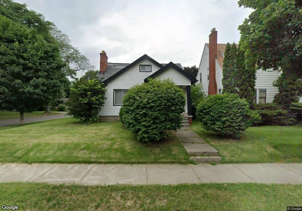
71 Mohawk Rd Pontiac, MI 48341
Estimated Value: $160,000 - $189,000
4
Beds
1
Bath
1,531
Sq Ft
$115/Sq Ft
Est. Value
About This Home
This home is located at 71 Mohawk Rd, Pontiac, MI 48341 and is currently estimated at $175,710, approximately $114 per square foot. 71 Mohawk Rd is a home located in Oakland County with nearby schools including Walt Whitman Elementary School, Pontiac Middle School, and Pontiac High School.
Ownership History
Date
Name
Owned For
Owner Type
Purchase Details
Closed on
May 19, 2025
Sold by
Davidson Barbara J
Bought by
Davidson Barbara J and Davidson Kimani F
Current Estimated Value
Purchase Details
Closed on
Sep 19, 2018
Sold by
Davidson Barbara J
Bought by
Davidson Barbara J and Davidson Kimani F
Purchase Details
Closed on
Mar 11, 2015
Sold by
Davidson Barbara J
Bought by
Davidson Barbara J and Davidson Kimani
Purchase Details
Closed on
Mar 9, 2011
Sold by
Gilmore Barbara J and Davidson Barbara J
Bought by
Davidson Barbara J
Purchase Details
Closed on
Aug 22, 1997
Sold by
Gilmore Harrison L
Bought by
Gilmore Barbara J
Create a Home Valuation Report for This Property
The Home Valuation Report is an in-depth analysis detailing your home's value as well as a comparison with similar homes in the area
Home Values in the Area
Average Home Value in this Area
Purchase History
| Date | Buyer | Sale Price | Title Company |
|---|---|---|---|
| Davidson Barbara J | -- | None Listed On Document | |
| Davidson Barbara J | -- | None Available | |
| Davidson Barbara J | -- | None Available | |
| Davidson Barbara J | -- | None Available | |
| Gilmore Barbara J | -- | -- |
Source: Public Records
Tax History
| Year | Tax Paid | Tax Assessment Tax Assessment Total Assessment is a certain percentage of the fair market value that is determined by local assessors to be the total taxable value of land and additions on the property. | Land | Improvement |
|---|---|---|---|---|
| 2025 | $1,475 | $85,970 | $0 | $0 |
| 2024 | $1,354 | $80,390 | $0 | $0 |
| 2023 | $1,290 | $70,100 | $0 | $0 |
| 2022 | $1,765 | $56,530 | $0 | $0 |
| 2021 | $1,271 | $49,030 | $0 | $0 |
| 2020 | $1,173 | $42,260 | $0 | $0 |
| 2019 | $1,233 | $36,050 | $0 | $0 |
| 2018 | $1,189 | $29,700 | $0 | $0 |
| 2017 | $1,139 | $27,270 | $0 | $0 |
| 2016 | $1,162 | $26,580 | $0 | $0 |
| 2015 | -- | $22,930 | $0 | $0 |
| 2014 | -- | $20,570 | $0 | $0 |
| 2011 | -- | $33,530 | $0 | $0 |
Source: Public Records
Map
Nearby Homes
- 832 W Huron St
- 78 Newberry St
- 305 Liberty St
- 933 Myrtle Ave
- V/L W Huron St
- 122 N Tilden Ave
- 247 Lasseigne St
- 253 Lasseigne St
- 94 Dwight Ave
- 642 Lydia Ln Unit 54
- 160 Chippewa Rd
- 729 W Margaret Ln Unit 212
- 142 Ottawa Dr
- 150 N Josephine Ave
- 10 Wenonah Dr
- 143 Thorpe St
- 1030 Menominee Rd
- 403 Voorheis St
- 984 Voorheis Rd
- 738 Arusha Dr
Your Personal Tour Guide
Ask me questions while you tour the home.