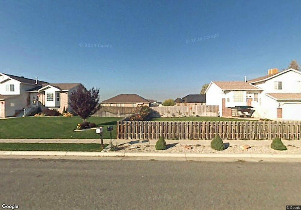
71 N 1700 W West Point, UT 84015
Estimated Value: $414,000 - $513,000
3
Beds
2
Baths
1,740
Sq Ft
$261/Sq Ft
Est. Value
About This Home
This home is located at 71 N 1700 W, West Point, UT 84015 and is currently estimated at $453,418, approximately $260 per square foot. 71 N 1700 W is a home located in Davis County with nearby schools including Lakeside School, West Point Junior High School, and Syracuse High School.
Ownership History
Date
Name
Owned For
Owner Type
Purchase Details
Closed on
May 10, 2024
Sold by
Caddis West Point Holdings Llc
Bought by
Pastorik Jacob Stephen and Pastorik Abbie Mccall
Current Estimated Value
Home Financials for this Owner
Home Financials are based on the most recent Mortgage that was taken out on this home.
Original Mortgage
$414,675
Outstanding Balance
$408,372
Interest Rate
6.79%
Mortgage Type
New Conventional
Estimated Equity
$45,046
Purchase Details
Closed on
Apr 19, 2021
Sold by
Lawless Daniel and Lawless Erica
Bought by
Caddis West Point Holdings Llc
Home Financials for this Owner
Home Financials are based on the most recent Mortgage that was taken out on this home.
Original Mortgage
$112,000
Interest Rate
3%
Mortgage Type
New Conventional
Purchase Details
Closed on
Apr 14, 2021
Sold by
Daniel Lawless and Lawless Erica
Bought by
Daniel Lawless and Lawless Erica
Home Financials for this Owner
Home Financials are based on the most recent Mortgage that was taken out on this home.
Original Mortgage
$112,000
Interest Rate
3%
Mortgage Type
New Conventional
Purchase Details
Closed on
Jun 11, 2020
Sold by
Lawless Daniel and Lawless Enca
Bought by
Lawless Daniel and Lawless Enca
Purchase Details
Closed on
Apr 16, 2013
Sold by
Lawless Daniel and Lawless Erica
Bought by
Farr West Holdings Llc
Purchase Details
Closed on
Mar 7, 2013
Sold by
Lawless Daniel and Lawless Erica
Bought by
Farr West Holdings Llc
Home Financials for this Owner
Home Financials are based on the most recent Mortgage that was taken out on this home.
Original Mortgage
$107,900
Interest Rate
3.49%
Mortgage Type
New Conventional
Purchase Details
Closed on
Jan 24, 2013
Sold by
Farr West Holdings Llc
Bought by
Lawless Daniel and Lawless Erica
Home Financials for this Owner
Home Financials are based on the most recent Mortgage that was taken out on this home.
Original Mortgage
$107,900
Interest Rate
3.49%
Mortgage Type
New Conventional
Purchase Details
Closed on
Sep 9, 2005
Sold by
Lawless Daniel J and Lawless Erica L
Bought by
Farr West Holdings Llc
Home Financials for this Owner
Home Financials are based on the most recent Mortgage that was taken out on this home.
Original Mortgage
$10,000
Interest Rate
5.18%
Mortgage Type
Stand Alone Second
Purchase Details
Closed on
Aug 26, 2005
Sold by
Wright Ron Michael and Wright Brooke Michelle
Bought by
Lawless Daniel J and Lawless Erica L
Home Financials for this Owner
Home Financials are based on the most recent Mortgage that was taken out on this home.
Original Mortgage
$10,000
Interest Rate
5.18%
Mortgage Type
Stand Alone Second
Purchase Details
Closed on
Aug 18, 2000
Sold by
Newport Holding Inc
Bought by
Wright Ron Michael and Wright Brooke Michelle
Home Financials for this Owner
Home Financials are based on the most recent Mortgage that was taken out on this home.
Original Mortgage
$126,953
Interest Rate
8.15%
Mortgage Type
FHA
Purchase Details
Closed on
Oct 27, 1999
Sold by
Dunbar Development Corp
Bought by
Chestnut Investments Llc
Purchase Details
Closed on
Oct 26, 1999
Sold by
Wks Development Llc
Bought by
Chestnut Investments Llc
Purchase Details
Closed on
Oct 20, 1999
Sold by
Chestnut Investments Llc
Bought by
Newport Holding Inc
Create a Home Valuation Report for This Property
The Home Valuation Report is an in-depth analysis detailing your home's value as well as a comparison with similar homes in the area
Home Values in the Area
Average Home Value in this Area
Purchase History
| Date | Buyer | Sale Price | Title Company |
|---|---|---|---|
| Pastorik Jacob Stephen | -- | First American Title Insurance | |
| Caddis West Point Holdings Llc | -- | None Available | |
| Daniel Lawless | -- | First American Title | |
| Lawless Daniel | -- | None Available | |
| Farr West Holdings Llc | -- | None Available | |
| Farr West Holdings Llc | -- | None Available | |
| Lawless Daniel | -- | Lsi Title Agency Inc | |
| Farr West Holdings Llc | -- | Equity Title Ins Agency Inc | |
| Lawless Daniel J | -- | Utah Commercial Title Co | |
| Wright Ron Michael | -- | Aspen Title Insurance Agency | |
| Chestnut Investments Llc | -- | Bonneville Title Company Inc | |
| Chestnut Investments Llc | -- | Bonneville Title Company Inc | |
| Newport Holding Inc | -- | Bonneville Title Company Inc |
Source: Public Records
Mortgage History
| Date | Status | Borrower | Loan Amount |
|---|---|---|---|
| Open | Pastorik Jacob Stephen | $414,675 | |
| Previous Owner | Daniel Lawless | $112,000 | |
| Previous Owner | Lawless Daniel | $107,900 | |
| Previous Owner | Lawless Daniel J | $10,000 | |
| Previous Owner | Wright Ron Michael | $126,953 |
Source: Public Records
Tax History Compared to Growth
Tax History
| Year | Tax Paid | Tax Assessment Tax Assessment Total Assessment is a certain percentage of the fair market value that is determined by local assessors to be the total taxable value of land and additions on the property. | Land | Improvement |
|---|---|---|---|---|
| 2025 | $2,377 | $222,750 | $101,834 | $120,916 |
| 2024 | $2,285 | $215,049 | $91,734 | $123,315 |
| 2023 | $3,812 | $199,650 | $61,120 | $138,529 |
| 2022 | $4,083 | $387,000 | $103,506 | $283,494 |
| 2021 | $3,693 | $288,000 | $92,388 | $195,612 |
| 2020 | $3,210 | $247,000 | $76,978 | $170,022 |
| 2019 | $1,754 | $242,000 | $74,872 | $167,128 |
| 2018 | $1,552 | $211,000 | $76,283 | $134,717 |
| 2016 | $1,421 | $101,695 | $29,454 | $72,241 |
| 2015 | $1,403 | $95,095 | $29,454 | $65,641 |
| 2014 | $1,284 | $88,309 | $29,454 | $58,855 |
| 2013 | -- | $78,802 | $27,225 | $51,577 |
Source: Public Records
Map
Nearby Homes
- 47 N 1750 W
- 1828 W 75 S
- 1648 W 150 S
- 12 N 2000 W Unit 1
- 135 S 1525 W
- 1774 W 400 N
- 16 N 1300 W
- 575 N 1350 W Unit 137
- 1652 W 560 N
- 1350 W 300 N Unit 49
- 1350 W 300 N Unit 38
- 1350 W 300 N Unit 29
- 563 N 1350 W Unit 139
- 1337 W 550 N Unit 195
- 1805 W 675 N
- 423 N 1250 W Unit 118
- 607 N 2000 W
- 303 N Canterbury Way
- 4284 W 350 S Unit 615
- 4296 W 350 S Unit 614