Estimated Value: $499,000 - $528,000
2
Beds
3
Baths
2,611
Sq Ft
$199/Sq Ft
Est. Value
About This Home
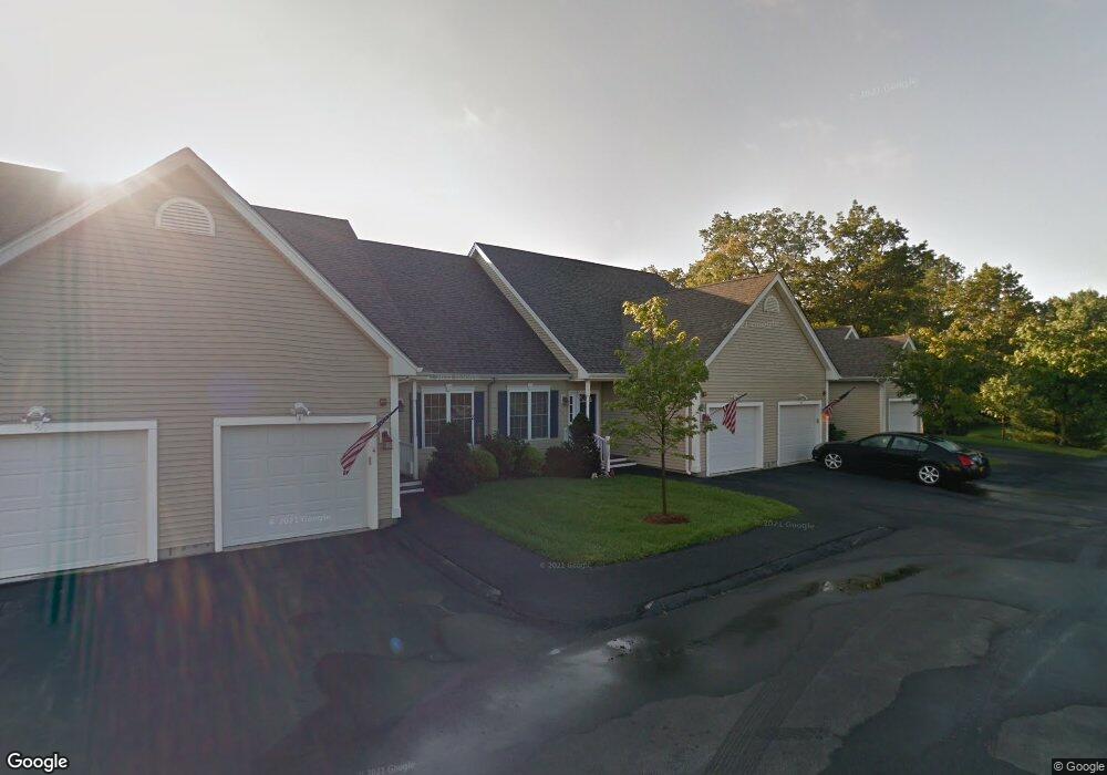
This home is located at 71 N High St Unit 5, Derry, NH 03038 and is currently estimated at $518,963, approximately $198 per square foot. 71 N High St Unit 5 is a home located in Rockingham County with nearby schools including Grinnell School, Gilbert H. Hood Middle School, and Pinkerton Academy.
Ownership History
Date
Name
Owned For
Owner Type
Purchase Details
Closed on
May 30, 2019
Sold by
Taraborelli Mark A and Taraborelli Peter P
Bought by
Salmi Dennis R and Salmi Sandra J
Current Estimated Value
Purchase Details
Closed on
Sep 10, 2010
Sold by
Fnma
Bought by
Taraborelli Mark A and Taraborelli Olinda
Purchase Details
Closed on
Aug 31, 2010
Sold by
Pruitt Christina and Fnma
Bought by
Federal National Mortgage Association
Purchase Details
Closed on
Dec 29, 2005
Sold by
Yazbek James and Yazbek Faith Ann
Bought by
Pruitt Christina
Home Financials for this Owner
Home Financials are based on the most recent Mortgage that was taken out on this home.
Original Mortgage
$310,000
Interest Rate
6.39%
Mortgage Type
Purchase Money Mortgage
Create a Home Valuation Report for This Property
The Home Valuation Report is an in-depth analysis detailing your home's value as well as a comparison with similar homes in the area
Home Values in the Area
Average Home Value in this Area
Purchase History
| Date | Buyer | Sale Price | Title Company |
|---|---|---|---|
| Salmi Dennis R | $354,000 | -- | |
| Taraborelli Mark A | $112,500 | -- | |
| Federal National Mortgage Association | $249,100 | -- | |
| Pruitt Christina | $310,000 | -- |
Source: Public Records
Mortgage History
| Date | Status | Borrower | Loan Amount |
|---|---|---|---|
| Previous Owner | Pruitt Christina | $310,000 |
Source: Public Records
Tax History
| Year | Tax Paid | Tax Assessment Tax Assessment Total Assessment is a certain percentage of the fair market value that is determined by local assessors to be the total taxable value of land and additions on the property. | Land | Improvement |
|---|---|---|---|---|
| 2025 | $9,035 | $475,800 | $0 | $475,800 |
| 2024 | $8,893 | $475,800 | $0 | $475,800 |
| 2023 | $9,058 | $438,000 | $0 | $438,000 |
| 2022 | $8,340 | $438,000 | $0 | $438,000 |
| 2021 | $7,802 | $315,100 | $0 | $315,100 |
| 2020 | $7,670 | $315,100 | $0 | $315,100 |
| 2019 | $7,379 | $282,500 | $60,000 | $222,500 |
| 2018 | $7,353 | $282,500 | $60,000 | $222,500 |
| 2017 | $7,749 | $268,500 | $60,000 | $208,500 |
| 2016 | $7,653 | $282,800 | $60,000 | $222,800 |
| 2015 | $7,483 | $256,000 | $60,000 | $196,000 |
| 2014 | $7,532 | $256,000 | $60,000 | $196,000 |
| 2013 | $7,599 | $241,300 | $54,000 | $187,300 |
Source: Public Records
Map
Nearby Homes
- 32 Crystal Ave
- 24 Jefferson St
- 84 E Broadway
- 5 Griffin St
- 9 Sundown Dr
- 25 Wyman St
- 29 Central St
- 15 Newells Meadow Ln
- 36 Highland Ave
- 5 Tsienneto Rd Unit 47
- 5 Tsienneto Rd Unit 136
- 4 Stonegate Ln
- 1 Stonegate Ln
- 6 Mills Farm Cir Unit R
- 5 Magnolia Ln
- 7 Chester Rd Unit 209
- 3 Kendall Pond Rd
- 65 Fordway Extension Unit 4111
- 65 Fordway Extension
- 2 Silvestri Cir Unit 13
- 71 N High St Unit 9
- 71 N High St Unit 8
- 71 N High St Unit 7
- 71 N High St Unit 6
- 71 N High St Unit 4
- 71 N High St Unit 3
- 71 N High St Unit 2
- 71 N High St Unit 15
- 71 N High St Unit 14
- 71 N High St Unit 13
- 71 N High St Unit 12
- 71 N High St Unit 11
- 71 N High St Unit 9
- 71 N High St
- 71 No High #1 St Unit 1
- 72 N High St
- 68 N High St
- 66 N High St
- 74 N High St
- 81 N High St Unit 9
Your Personal Tour Guide
Ask me questions while you tour the home.