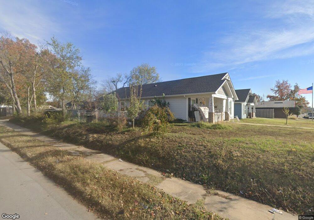
71 N Utica Ave Tulsa, OK 74110
Kendall-Whittier NeighborhoodEstimated Value: $155,000 - $235,000
Studio
--
Bath
1,492
Sq Ft
$132/Sq Ft
Est. Value
About This Home
This home is located at 71 N Utica Ave, Tulsa, OK 74110 and is currently estimated at $197,547, approximately $132 per square foot. 71 N Utica Ave is a home with nearby schools including Sequoyah Elementary School, Monroe Demonstration Academy, and McLain High School of Science and Technology.
Ownership History
Date
Name
Owned For
Owner Type
Purchase Details
Closed on
Jun 18, 2020
Sold by
Tulsa Habitat For Humanity Inc
Bought by
Kanniainen Matthew A and Kanniainen Ahmyah V
Current Estimated Value
Home Financials for this Owner
Home Financials are based on the most recent Mortgage that was taken out on this home.
Original Mortgage
$131,551
Outstanding Balance
$116,093
Interest Rate
3.2%
Mortgage Type
New Conventional
Estimated Equity
$81,454
Create a Home Valuation Report for This Property
The Home Valuation Report is an in-depth analysis detailing your home's value as well as a comparison with similar homes in the area
Home Values in the Area
Average Home Value in this Area
Purchase History
| Date | Buyer | Sale Price | Title Company |
|---|---|---|---|
| Kanniainen Matthew A | $140,000 | Community Title Services Llc |
Source: Public Records
Mortgage History
| Date | Status | Borrower | Loan Amount |
|---|---|---|---|
| Open | Kanniainen Matthew A | $131,551 |
Source: Public Records
Tax History
| Year | Tax Paid | Tax Assessment Tax Assessment Total Assessment is a certain percentage of the fair market value that is determined by local assessors to be the total taxable value of land and additions on the property. | Land | Improvement |
|---|---|---|---|---|
| 2025 | $2,055 | $15,338 | $581 | $14,757 |
| 2024 | $1,827 | $14,862 | $676 | $14,186 |
| 2023 | $1,827 | $15,400 | $770 | $14,630 |
| 2022 | $1,920 | $14,400 | $720 | $13,680 |
| 2021 | $1,902 | $14,400 | $720 | $13,680 |
| 2020 | $100 | $770 | $770 | $0 |
| 2019 | $106 | $770 | $770 | $0 |
| 2018 | $86 | $627 | $627 | $0 |
| 2017 | $86 | $627 | $627 | $0 |
| 2016 | $84 | $627 | $627 | $0 |
| 2015 | $84 | $627 | $627 | $0 |
| 2014 | $84 | $627 | $627 | $0 |
Source: Public Records
Map
Nearby Homes
- 56 N Xanthus Ave
- 732 N Victor Ave
- 707 N Trenton Ave
- 105 S Wheeling Ave
- 2125 E 2nd St
- 1025 N Quincy Ave
- 410 S Xanthus Ave
- 331 S Zunis Ave
- 2524 E Admiral Ct
- 519 S Yorktown Ave
- 1235 N Trenton Ave
- 2516 E 3rd St
- 711 S Saint Louis Ave
- 1315 N Saint Louis Ave
- 2604 E 2nd St
- 1633 E 8th St
- 1327 N Rockford Ave
- 1737 E 8th St
- 1331 N Rockford Ave
- 119 N Columbia Ave
- 67 N Utica Ave
- 1707 E Archer St
- 1711 E Archer St
- 1701 E Archer St
- 74 N Victor Ave
- 66 N Victor Ave
- 106 N Utica Ave
- 104 N Victor Ave
- 62 N Victor Ave
- 72 N Utica Ave
- 111 N Utica Ave
- 64 N Utica Ave
- 58 N Victor Ave
- 113 N Utica Ave
- 110 N Victor Ave
- 1641 E Archer St
- 51 N Utica Ave
- 56 N Victor Ave
- 1639 E Archer St
- 116 N Victor Ave
Your Personal Tour Guide
Ask me questions while you tour the home.