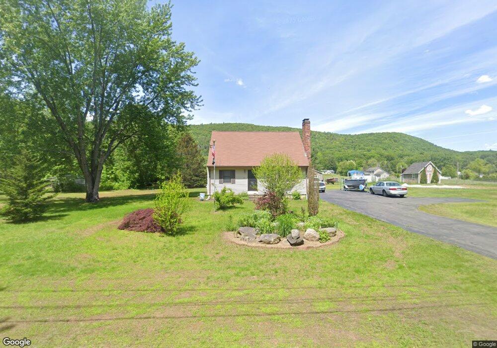
71 Northwest Rd Westfield, MA 01085
Estimated Value: $331,000 - $373,822
3
Beds
2
Baths
1,456
Sq Ft
$243/Sq Ft
Est. Value
About This Home
This home is located at 71 Northwest Rd, Westfield, MA 01085 and is currently estimated at $353,706, approximately $242 per square foot. 71 Northwest Rd is a home located in Hampden County with nearby schools including Westfield High School and Saint Mary High School.
Ownership History
Date
Name
Owned For
Owner Type
Purchase Details
Closed on
Jun 6, 2023
Sold by
Andras Stephen A
Bought by
Andras Stephen A
Current Estimated Value
Purchase Details
Closed on
May 28, 1985
Bought by
Andras Stephen A and Andras Patti A
Create a Home Valuation Report for This Property
The Home Valuation Report is an in-depth analysis detailing your home's value as well as a comparison with similar homes in the area
Home Values in the Area
Average Home Value in this Area
Purchase History
| Date | Buyer | Sale Price | Title Company |
|---|---|---|---|
| Andras Stephen A | -- | None Available | |
| Andras Stephen A | -- | -- |
Source: Public Records
Mortgage History
| Date | Status | Borrower | Loan Amount |
|---|---|---|---|
| Previous Owner | Andras Stephen A | $150,000 | |
| Previous Owner | Andras Stephen A | $58,500 | |
| Previous Owner | Andras Stephen A | $65,000 |
Source: Public Records
Tax History Compared to Growth
Tax History
| Year | Tax Paid | Tax Assessment Tax Assessment Total Assessment is a certain percentage of the fair market value that is determined by local assessors to be the total taxable value of land and additions on the property. | Land | Improvement |
|---|---|---|---|---|
| 2025 | $4,812 | $317,000 | $125,300 | $191,700 |
| 2024 | $4,793 | $300,100 | $113,600 | $186,500 |
| 2023 | $4,860 | $286,200 | $108,400 | $177,800 |
| 2022 | $4,672 | $252,700 | $96,400 | $156,300 |
| 2021 | $4,524 | $239,600 | $90,800 | $148,800 |
| 2020 | $4,497 | $233,600 | $90,800 | $142,800 |
| 2019 | $4,398 | $223,600 | $86,600 | $137,000 |
| 2018 | $4,329 | $223,600 | $86,600 | $137,000 |
| 2017 | $4,257 | $219,200 | $88,100 | $131,100 |
| 2016 | $4,261 | $219,200 | $88,100 | $131,100 |
| 2015 | $4,125 | $222,500 | $88,100 | $134,400 |
| 2014 | $3,085 | $222,500 | $88,100 | $134,400 |
Source: Public Records
Map
Nearby Homes
- 66 Stoney Ln
- 1430 Russell Rd Unit 35
- 3 Angelica Dr
- 126 Western Cir
- 36 Woodland Way
- 555 Russell Rd Unit D18
- 0 Woodland Way
- 40 Heritage Ln
- 549 Russell Rd Unit 6B
- 508 Granville Rd
- 481 Blandford Rd
- 197 Loomis Rg
- 324 Russell Rd Unit 204
- 128 Skyline Dr
- 156 Honey Pot Rd
- 110 Kensington Ave
- 162 Honey Pot Rd
- 53 Yankee Cir
- 0 Fox Hill Dr
- 291 Pochassic Rd
- 81 Northwest Rd
- 65 Northwest Rd
- 68 Northwest Rd
- 89 Northwest Rd
- 55 Northwest Rd
- 70 Stoney Ln
- 63 Stoney Ln
- 78 Stoney Ln
- 49 Northwest Rd
- 61 Stoney Ln
- 77 Stoney Ln
- Lot 8 Hunter's Slope
- Lot 6 Whispering Wind Rd
- LOT C E Mountain Rd
- LOT 2B Camelot
- LOT 13 Scenic Rd
- L 13 Loomis Ridge
- LOT8 Hawk's Cir
- LOT 37 Pheasant Dr
- LOT 49 North Rd