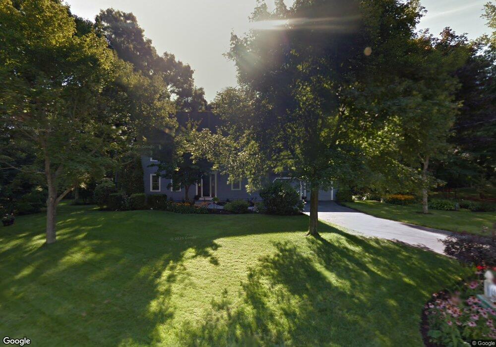
71 Norton Rd North Attleboro, MA 02760
North Attleboro NeighborhoodEstimated Value: $675,207 - $777,000
4
Beds
3
Baths
2,128
Sq Ft
$343/Sq Ft
Est. Value
About This Home
This home is located at 71 Norton Rd, North Attleboro, MA 02760 and is currently estimated at $729,052, approximately $342 per square foot. 71 Norton Rd is a home located in Bristol County with nearby schools including North Attleboro High School and Dayspring Christian Academy.
Ownership History
Date
Name
Owned For
Owner Type
Purchase Details
Closed on
Dec 5, 2022
Sold by
Murphy Patrick J and Murphy Diana J
Bought by
Murphy Ft
Current Estimated Value
Purchase Details
Closed on
Jan 1, 1987
Bought by
Murphy Patrick J and Murphy Diana J
Create a Home Valuation Report for This Property
The Home Valuation Report is an in-depth analysis detailing your home's value as well as a comparison with similar homes in the area
Home Values in the Area
Average Home Value in this Area
Purchase History
| Date | Buyer | Sale Price | Title Company |
|---|---|---|---|
| Murphy Ft | -- | None Available | |
| Murphy Patrick J | $205,000 | -- |
Source: Public Records
Mortgage History
| Date | Status | Borrower | Loan Amount |
|---|---|---|---|
| Previous Owner | Murphy Patrick J | $74,000 |
Source: Public Records
Tax History Compared to Growth
Tax History
| Year | Tax Paid | Tax Assessment Tax Assessment Total Assessment is a certain percentage of the fair market value that is determined by local assessors to be the total taxable value of land and additions on the property. | Land | Improvement |
|---|---|---|---|---|
| 2025 | $6,997 | $593,500 | $139,600 | $453,900 |
| 2024 | $6,974 | $604,300 | $139,600 | $464,700 |
| 2023 | $6,719 | $525,300 | $139,600 | $385,700 |
| 2022 | $6,328 | $454,300 | $139,600 | $314,700 |
| 2021 | $5,862 | $410,800 | $139,600 | $271,200 |
| 2020 | $5,784 | $403,100 | $139,600 | $263,500 |
| 2019 | $5,605 | $393,600 | $126,900 | $266,700 |
| 2018 | $5,041 | $377,900 | $126,900 | $251,000 |
| 2017 | $4,996 | $377,900 | $126,900 | $251,000 |
| 2016 | $4,840 | $366,100 | $141,100 | $225,000 |
| 2015 | $4,730 | $360,000 | $148,200 | $211,800 |
| 2014 | $4,617 | $348,700 | $136,900 | $211,800 |
Source: Public Records
Map
Nearby Homes
- 637 S Washington St Unit 47
- 31 Paine Rd
- 740 Allen Ave
- 47 Reservoir St
- 11 Primrose Terrace
- 181 Paine Rd
- 121 E Washington St Unit 8
- 121 E Washington St Unit 12
- 121 E Washington St Unit 13
- 121 E Washington St Unit 11
- 31 Walnut Rd
- Lot 6 Sperry Ln
- 90 Walnut Rd
- 46-48 Juniper Rd
- 130 E Washington St Unit 57
- 130 E Washington St Unit 71
- 325 Reservoir St
- 138 Jefferson St
- 80 Broadway Unit 9
- 330 Mount Hope St