71 Old Nugent Farm Rd Gloucester, MA 01930
East Gloucester NeighborhoodEstimated Value: $944,000 - $1,072,000
2
Beds
3
Baths
1,750
Sq Ft
$590/Sq Ft
Est. Value
About This Home
This home is located at 71 Old Nugent Farm Rd, Gloucester, MA 01930 and is currently estimated at $1,031,887, approximately $589 per square foot. 71 Old Nugent Farm Rd is a home located in Essex County with nearby schools including East Gloucester Elementary School, Ralph B O'maley Middle School, and Gloucester High School.
Ownership History
Date
Name
Owned For
Owner Type
Purchase Details
Closed on
Nov 5, 2012
Sold by
Scala Rosemary J
Bought by
Scala Rosemary J and Scala Peter J
Current Estimated Value
Create a Home Valuation Report for This Property
The Home Valuation Report is an in-depth analysis detailing your home's value as well as a comparison with similar homes in the area
Home Values in the Area
Average Home Value in this Area
Purchase History
| Date | Buyer | Sale Price | Title Company |
|---|---|---|---|
| Scala Rosemary J | -- | -- |
Source: Public Records
Mortgage History
| Date | Status | Borrower | Loan Amount |
|---|---|---|---|
| Open | Scala Rosemary J | $220,000 | |
| Previous Owner | Scala Rosemary J | $300,000 | |
| Previous Owner | Scala Rosemary J | $225,000 | |
| Previous Owner | Scala Rosemary J | $225,000 |
Source: Public Records
Tax History Compared to Growth
Tax History
| Year | Tax Paid | Tax Assessment Tax Assessment Total Assessment is a certain percentage of the fair market value that is determined by local assessors to be the total taxable value of land and additions on the property. | Land | Improvement |
|---|---|---|---|---|
| 2025 | $8,487 | $872,200 | $0 | $872,200 |
| 2024 | $8,487 | $872,200 | $0 | $872,200 |
| 2023 | $8,148 | $769,400 | $0 | $769,400 |
| 2022 | $8,182 | $697,500 | $0 | $697,500 |
| 2021 | $8,166 | $656,400 | $0 | $656,400 |
| 2020 | $8,188 | $664,100 | $0 | $664,100 |
| 2019 | $7,812 | $615,600 | $0 | $615,600 |
| 2018 | $7,815 | $604,400 | $0 | $604,400 |
| 2017 | $7,793 | $590,800 | $0 | $590,800 |
| 2016 | $7,408 | $544,300 | $0 | $544,300 |
| 2015 | $7,506 | $549,900 | $0 | $549,900 |
Source: Public Records
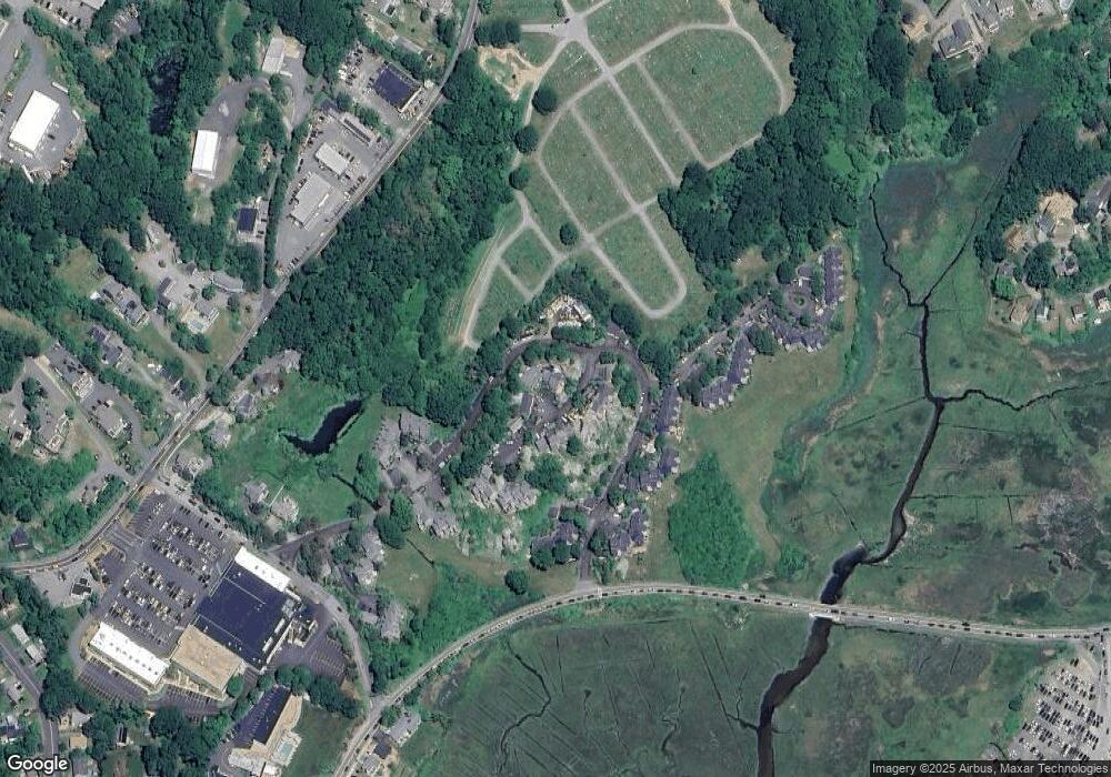
Map
Nearby Homes
- 10 Old Nugent Farm Rd
- 32 Witham St Unit B
- 8 Barn Ln
- 112 Eastern Ave
- 2 Mallard Way
- 73 Eastern Ave
- 160 Thatcher Rd
- 29 Harrison Ave
- 11 Crestview Terrace
- 69 E Main St Unit 1
- 87 Atlantic Rd Unit 2
- 9 Rocky Pasture Rd
- 2 Stanwood Terrace
- 52 Taylor St
- 97 E Main St
- 100 E Main St
- 24 Taylor St Unit 1
- 30 Chapel St Unit B
- 150 Prospect St Unit 3
- 300 Main St
- 72 Old Nugent Farm Rd
- 70 Old Nugent Farm Rd
- 69 Old Nugent Farm Rd
- 68 Old Nugent Farm Rd
- 67 Old Nugent Farm Rd
- 65 Old Nugent Farm Rd
- 64 Old Nugent Farm Rd
- 65 Old Nugent Farm Rd Unit 65
- 64 Old Nugent Farm Rd Unit 64
- 62 Old Nugent Farm Rd
- 61 Old Nugent Farm Rd
- 60 Old Nugent Farm Rd
- 59 Old Nugent Farm Rd
- 58 Old Nugent Farm Rd
- 56 Old Nugent Farm Rd
- 24 Beachcroft Rd
- 26 Beachcroft Rd
- 22 Beachcroft Rd
- 283030R Beachcroft Rd
- 17 Beachcroft Rd Unit A