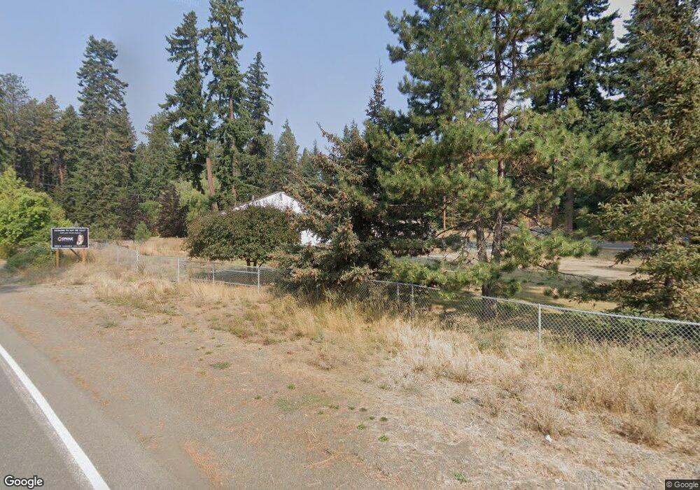
71 Patrick Mine Rd Ronald, WA 98940
Estimated Value: $478,000 - $662,000
3
Beds
2
Baths
1,128
Sq Ft
$497/Sq Ft
Est. Value
About This Home
This home is located at 71 Patrick Mine Rd, Ronald, WA 98940 and is currently estimated at $560,687, approximately $497 per square foot. 71 Patrick Mine Rd is a home located in Kittitas County with nearby schools including Cle Elum Roslyn Elementary School, Walter Strom Middle School, and Cle Elum Roslyn High School.
Ownership History
Date
Name
Owned For
Owner Type
Purchase Details
Closed on
Dec 27, 2018
Sold by
Maras Gregory A and Maras Cheryl A
Bought by
Bailey Lauri D and Warren Richard Scott
Current Estimated Value
Home Financials for this Owner
Home Financials are based on the most recent Mortgage that was taken out on this home.
Original Mortgage
$226,450
Outstanding Balance
$200,289
Interest Rate
4.9%
Mortgage Type
Seller Take Back
Estimated Equity
$360,398
Create a Home Valuation Report for This Property
The Home Valuation Report is an in-depth analysis detailing your home's value as well as a comparison with similar homes in the area
Home Values in the Area
Average Home Value in this Area
Purchase History
| Date | Buyer | Sale Price | Title Company |
|---|---|---|---|
| Bailey Lauri D | $230,000 | Kittitas Title And Escrow Ll |
Source: Public Records
Mortgage History
| Date | Status | Borrower | Loan Amount |
|---|---|---|---|
| Open | Bailey Lauri D | $226,450 |
Source: Public Records
Tax History
| Year | Tax Paid | Tax Assessment Tax Assessment Total Assessment is a certain percentage of the fair market value that is determined by local assessors to be the total taxable value of land and additions on the property. | Land | Improvement |
|---|---|---|---|---|
| 2025 | $2,352 | $430,310 | $117,720 | $312,590 |
| 2023 | $2,352 | $354,080 | $104,640 | $249,440 |
| 2022 | $2,097 | $303,480 | $86,060 | $217,420 |
| 2021 | $1,920 | $265,270 | $67,480 | $197,790 |
| 2019 | $1,397 | $181,590 | $40,200 | $141,390 |
| 2018 | $1,227 | $151,160 | $40,200 | $110,960 |
| 2017 | $1,227 | $151,160 | $40,200 | $110,960 |
| 2016 | $1,275 | $161,880 | $50,000 | $111,880 |
| 2015 | $1,314 | $161,880 | $50,000 | $111,880 |
| 2013 | -- | $199,620 | $50,000 | $149,620 |
Source: Public Records
Map
Nearby Homes
- 150 Grand Fir Ln
- 24 Old Grove Trail
- 331 Old Grove Trail
- 36 Old Grove Trail
- 10 Red Sky Way
- 9 Red Sky Way
- 4611 Swiftwater Dr
- 140 Big Rock Ln
- 3 XX Rockrose Dr (Lot 3)
- 25 Wanawish Loop
- 251 Evergreen Valley Loop Rd
- 9680 Sr 903
- 0 XXX Mountain Ridge Rd
- 1971 Wanawish Loop
- 140 Evergreen Valley Loop Rd
- 0 Lot H R&r Heights Dr
- 1601 Wanawish Loop
- 1980 Wanawish Loop
- 150 Tiger Lily Ln
- 570 Paintbrush Ln
- 8531 Washington 903
- 8404 Sr 903
- 30 Patrick Mine Rd
- 8531 3rd St
- 8461 Sr 903
- 8430 Washington 903
- 8510 3rd St
- 8430 State Route 903
- 8403 State Route 903
- 8461 Washington 903
- 131 Patrick Mine Rd
- 8590 State Road 903
- 2 Maywood Ln
- 51 Blue Agate Ln
- 8411 State Rd Unit 903
- 8411 Washington 903
- 11 Lot 11 Blue Agate Ln
- 0 Blue Agate Ln Unit 28145682
- 0 Blue Agate Ln Unit NWM2336227
- 8391 State Route 903
Your Personal Tour Guide
Ask me questions while you tour the home.