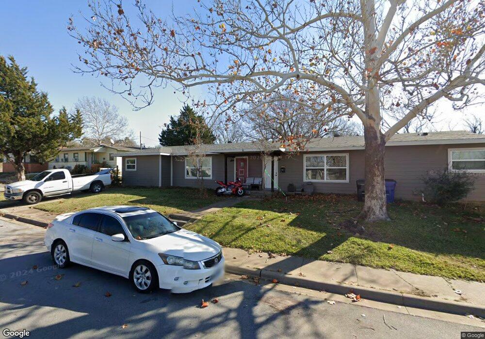
71 Pershing Dr Unit B Denison, TX 75020
Estimated Value: $153,000 - $229,000
4
Beds
2
Baths
1,914
Sq Ft
$99/Sq Ft
Est. Value
About This Home
This home is located at 71 Pershing Dr Unit B, Denison, TX 75020 and is currently estimated at $189,561, approximately $99 per square foot. 71 Pershing Dr Unit B is a home located in Grayson County with nearby schools including Percy W. Neblett Elementary School, Dillingham Intermediate School, and Piner Middle School.
Ownership History
Date
Name
Owned For
Owner Type
Purchase Details
Closed on
Sep 30, 2019
Sold by
George Kevin and George Elizabeth
Bought by
Araujo Ramon
Current Estimated Value
Purchase Details
Closed on
Jan 25, 2019
Sold by
Deutsche Bank National Trust Co
Bought by
George Kevin and George Elizabeth
Purchase Details
Closed on
Nov 6, 2018
Sold by
Mitchell Wyne D
Bought by
Deutsche Bank National Turst Co
Create a Home Valuation Report for This Property
The Home Valuation Report is an in-depth analysis detailing your home's value as well as a comparison with similar homes in the area
Home Values in the Area
Average Home Value in this Area
Purchase History
| Date | Buyer | Sale Price | Title Company |
|---|---|---|---|
| Araujo Ramon | -- | None Available | |
| George Kevin | $35,200 | None Available | |
| Deutsche Bank National Turst Co | $42,688 | None Available |
Source: Public Records
Tax History
| Year | Tax Paid | Tax Assessment Tax Assessment Total Assessment is a certain percentage of the fair market value that is determined by local assessors to be the total taxable value of land and additions on the property. | Land | Improvement |
|---|---|---|---|---|
| 2025 | $2,325 | $168,713 | -- | -- |
| 2024 | $3,677 | $153,375 | $0 | $0 |
| 2023 | $1,902 | $139,432 | $27,745 | $175,185 |
| 2022 | $4,159 | $164,681 | $27,745 | $136,936 |
| 2021 | $2,435 | $91,198 | $17,751 | $73,447 |
| 2020 | $2,068 | $74,178 | $17,751 | $56,427 |
| 2019 | $1,341 | $46,221 | $1,945 | $44,276 |
| 2018 | $1,079 | $45,277 | $1,945 | $43,332 |
| 2017 | $1,051 | $42,745 | $3,890 | $38,855 |
| 2016 | $1,316 | $49,004 | $3,890 | $45,114 |
Source: Public Records
Map
Nearby Homes
- 10 Pershing Dr Unit A
- 44 Mundt Dr
- 29 Macarthur Dr
- 36 Twining Dr
- 123 Vandenburg Dr
- 292 Pecan Orchard Rd
- 565 Oasis Dr
- 3474 Plainview Rd
- 3376 Plainview Rd
- 22 Eastwood Terrace
- 123 Valley Ranch Rd
- 356 Heironimus Ln
- 137 White Dove Trail
- 147 Shadow Trail
- TBD Airport Dr
- 538 Lakewood Rd
- 57 Arboretum
- 4800 N Fm-1417
- 2524 Mountain Climb Rd
- 5792 N State Highway 289
- 71 Pershing Dr
- 12 Pershing Dr Unit A
- 12 and 12 B Pershing Dr Unit A
- 62 Pershing Dr
- 62 Pershing Dr Unit A
- 56 Pershing Dr
- 58 Pershing Dr
- 58 Pershing Dr Unit 100
- 58 Pershing Dr Unit 101
- 58 Pershing Dr Unit 2
- 58 Pershing Dr Unit 1
- 60 Pershing Dr
- 60 Pershing Dr Unit A
- 14 Macarthur Dr
- 8 Pershing Dr Unit A
- 11 Macarthur Dr Unit A
- 73 Pershing Dr
- 80 Vandenburg Dr
- 16 Macarthur Dr
- 6 Pershing Dr
Your Personal Tour Guide
Ask me questions while you tour the home.