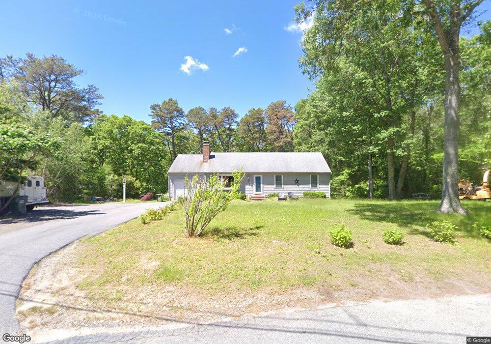
71 Pinkham Rd Sandwich, MA 02563
Estimated Value: $576,000 - $657,000
3
Beds
2
Baths
1,001
Sq Ft
$617/Sq Ft
Est. Value
About This Home
This home is located at 71 Pinkham Rd, Sandwich, MA 02563 and is currently estimated at $617,325, approximately $616 per square foot. 71 Pinkham Rd is a home located in Barnstable County with nearby schools including Sandwich Middle High School, Sandwich Montessori School, and Riverview School.
Ownership History
Date
Name
Owned For
Owner Type
Purchase Details
Closed on
Aug 22, 2023
Sold by
Castracane Mattia L and Basilico Ylenia V
Bought by
Basilico Ylenia V
Current Estimated Value
Purchase Details
Closed on
Mar 16, 2001
Sold by
Baresel Bruce K and Baresel Rhonda M
Bought by
Perry Brian J
Purchase Details
Closed on
Oct 22, 1992
Sold by
Bracone Stephen J and Lamont Joseph E
Bought by
Baresel Bruce K and Baresel Rhonda M
Create a Home Valuation Report for This Property
The Home Valuation Report is an in-depth analysis detailing your home's value as well as a comparison with similar homes in the area
Home Values in the Area
Average Home Value in this Area
Purchase History
| Date | Buyer | Sale Price | Title Company |
|---|---|---|---|
| Basilico Ylenia V | -- | None Available | |
| Perry Brian J | $187,000 | -- | |
| Baresel Bruce K | $116,500 | -- |
Source: Public Records
Mortgage History
| Date | Status | Borrower | Loan Amount |
|---|---|---|---|
| Previous Owner | Baresel Bruce K | $177,760 | |
| Previous Owner | Baresel Bruce K | $25,000 | |
| Previous Owner | Baresel Bruce K | $193,000 |
Source: Public Records
Tax History Compared to Growth
Tax History
| Year | Tax Paid | Tax Assessment Tax Assessment Total Assessment is a certain percentage of the fair market value that is determined by local assessors to be the total taxable value of land and additions on the property. | Land | Improvement |
|---|---|---|---|---|
| 2025 | $5,924 | $560,500 | $188,200 | $372,300 |
| 2024 | $5,608 | $519,300 | $168,000 | $351,300 |
| 2023 | $5,479 | $476,400 | $152,800 | $323,600 |
| 2022 | $5,230 | $397,400 | $136,400 | $261,000 |
| 2021 | $5,067 | $368,000 | $135,800 | $232,200 |
| 2020 | $5,091 | $355,800 | $135,600 | $220,200 |
| 2019 | $4,862 | $339,500 | $133,100 | $206,400 |
| 2018 | $4,480 | $313,500 | $121,400 | $192,100 |
| 2017 | $4,437 | $297,200 | $117,500 | $179,700 |
| 2016 | $4,218 | $291,500 | $113,600 | $177,900 |
| 2015 | $3,955 | $266,900 | $92,500 | $174,400 |
Source: Public Records
Map
Nearby Homes
- 186 Quaker Meeting House Rd
- 77 Kiahs Way
- 58 Southpoint Dr Unit J
- 59 Southpoint Dr Unit 59
- 185 Cotuit Rd Unit BE4
- 185 Cotuit Rd Unit JP1
- 5 Aviators Ln
- 93 Deerfield Rd
- 86 Greenville Dr
- 9 Bramble Bush Dr
- 10 Wintergreen Ln
- 15 Hunters Tr
- 15 Hunters Trail
- 3 Glenwood Ln
- 22 Sconset Cir
- 7 Highfield Dr
- 23 Old Fields Rd
- 18 Katian Way
- 84 Harlow Rd