71 Popple Swamp Rd Washington Depot, CT 06794
Estimated Value: $1,038,000 - $1,630,000
4
Beds
2
Baths
2,438
Sq Ft
$501/Sq Ft
Est. Value
About This Home
This home is located at 71 Popple Swamp Rd, Washington Depot, CT 06794 and is currently estimated at $1,222,037, approximately $501 per square foot. 71 Popple Swamp Rd is a home located in Litchfield County with nearby schools including Shepaug Valley School and The Frederick Gunn School.
Ownership History
Date
Name
Owned For
Owner Type
Purchase Details
Closed on
Nov 30, 2022
Sold by
Whitehead Edwin C
Bought by
Edwin C Whitehead Ret and Whitehead
Current Estimated Value
Purchase Details
Closed on
Mar 17, 2011
Sold by
Whitehead Edwin C
Bought by
Whitehead Marjorie P
Create a Home Valuation Report for This Property
The Home Valuation Report is an in-depth analysis detailing your home's value as well as a comparison with similar homes in the area
Home Values in the Area
Average Home Value in this Area
Purchase History
| Date | Buyer | Sale Price | Title Company |
|---|---|---|---|
| Edwin C Whitehead Ret | -- | None Available | |
| Edwin C Whitehead Ret | -- | None Available | |
| Marjorie P Whitehead Ret | -- | None Available | |
| Marjorie P Whitehead Ret | -- | None Available | |
| Whitehead Marjorie P | -- | -- | |
| Whitehead Marjorie P | -- | -- |
Source: Public Records
Tax History Compared to Growth
Tax History
| Year | Tax Paid | Tax Assessment Tax Assessment Total Assessment is a certain percentage of the fair market value that is determined by local assessors to be the total taxable value of land and additions on the property. | Land | Improvement |
|---|---|---|---|---|
| 2025 | $7,918 | $729,750 | $185,850 | $543,900 |
| 2024 | $7,918 | $729,750 | $185,850 | $543,900 |
| 2023 | $7,828 | $549,360 | $172,580 | $376,780 |
| 2022 | $7,621 | $534,820 | $162,720 | $372,100 |
| 2021 | $7,621 | $534,820 | $162,720 | $372,100 |
| 2020 | $4,433 | $534,820 | $162,720 | $372,100 |
| 2019 | $7,621 | $534,820 | $162,720 | $372,100 |
| 2018 | $4,360 | $538,420 | $170,400 | $368,020 |
| 2017 | $3,719 | $538,420 | $170,400 | $368,020 |
| 2016 | $7,843 | $550,420 | $170,400 | $380,020 |
| 2015 | $7,568 | $550,420 | $170,400 | $380,020 |
| 2014 | $7,431 | $550,420 | $170,400 | $380,020 |
Source: Public Records
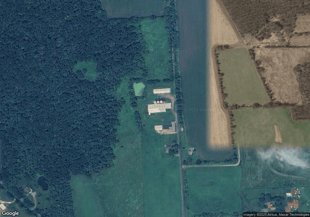
Map
Nearby Homes
- Lot 2 060804A Popple Swamp Rd
- LOT 1 060804 Popple Swamp Rd
- 00 Upper Church Hill & Popple Swamp Rd
- Lot 3 060804C Upper Church Hill Rd
- Lot 4 060804B Upper Church Hill Rd
- 109 Church Hill Rd
- 54 Scofield Hill Rd
- 93 Quarry Ridge Rd Unit 93
- 35 Quarry Ridge Rd Unit 35
- 29 Quarry Ridge Rd
- 5 Kielwasser Rd
- 35 Hillendale Dr
- 85 W Church Hill Rd
- 15 Connelly Rd
- 85 Weathervane Dr
- 77 New Milford Turnpike
- 75 Green Hill Rd
- 101 Lower Church Hill Rd
- 21 Crossmon Rd
- 51 Ferry Bridge Rd
- 70 Popple Swamp Rd
- 7 Upper Church Hill Rd
- 68 Popple Swamp Rd
- 3 Church Hill Rd
- 66 Upper Church Hill Rd
- 118 Upper Church Hill Rd
- 72 Upper Church Hill Rd
- 75 Upper Church Hill Rd
- 128 Upper Church Hill Rd
- 127 Upper Church Hill Rd
- Lot 4 060804C Upper Church Hill Rd
- Lot 3 060804B Upper Church Hill Rd
- 3 Top Pasture Rd
- 58 Upper Church Hill Rd
- 137 Upper Church Hill Rd
- 142 Upper Church Hill Rd
- 4 Top Pasture Rd
- 5 Top Pasture Rd
- 152 Upper Church Hill Rd
- 13 Popple Swamp Rd